Skip to content
Solutions
Mining teams
Environmental consultants
Government teams
Rangers
Drone pilots
For consultants
Pricing
Solutions
Mining teams
Environmental consultants
Government teams
Rangers
Drone pilots
For consultants
Pricing
Log in
Book a demo
We help environmental teams make better decisions
Log in
Book a demo
Main Menu
Solutions
Mining teams
Environmental consultants
Government teams
Rangers
Drone pilots
For consultants
Pricing
Subscribe for regular
insights & updates
First Name
Email
Subscribe
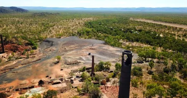
Your rehabilitation management plan is a spatial problem.
Paul Mead
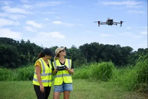
Rehabilitation monitoring beyond annual reports
Dr Karen Joyce
Designing a monitoring hierarchy that actually works
Dr Karen Joyce
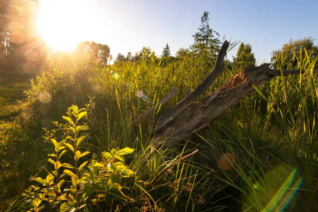
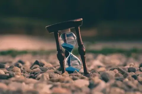
Why time is the most undervalued dimension in rehabilitation monitoring
Dr Karen Joyce
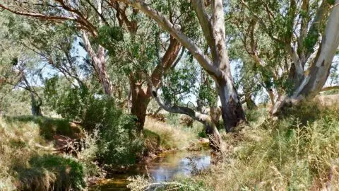
Why analogue sites matter in rehabilitation monitoring
Dr Karen Joyce
Stories from above blog
Search for:
Search
Show All
Artificial Intelligence
Case Studies
Drone Data Capture
Drone Data Processing
Drone Mapping Tips & Tricks
Drones in Education
Ecosystems
Featured Collection
Learn and Inspire
Product Updates
Show All
Show All
Artificial Intelligence
Case Studies
Drone Data Capture
Drone Data Processing
Drone Mapping Tips & Tricks
Drones in Education
Ecosystems
Featured Collection
Learn and Inspire
Product Updates
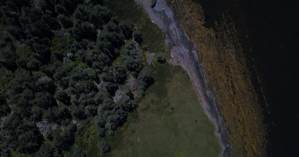
Salt marsh restoration tracking with drones
Anne Crosby
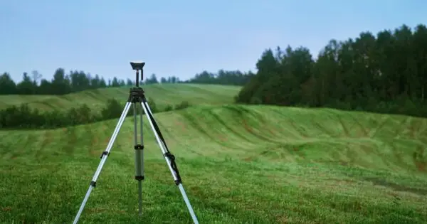
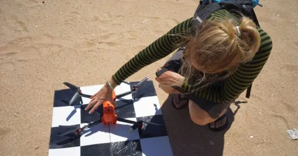
How many GCPs do I need for drone mapping?
Joan Li
Using drones for mapping litter and inspiring students
Anne Crosby
How to fast track your drone mapping analysis with keyboard shortcuts
Dr Karen Joyce
Why is snapping important for creating accurate maps?
Dr Karen Joyce
The top 10 environmental uses for drone 3D models
Dr Karen Joyce
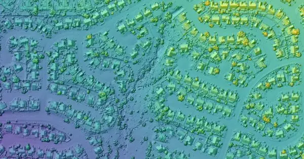
3D drone models and the end of the rainbow
Dr Karen Joyce
How to make an accurate and useful drone map
Dr Karen Joyce
School mapping competition uses GeoNadir
Dr Karen Joyce
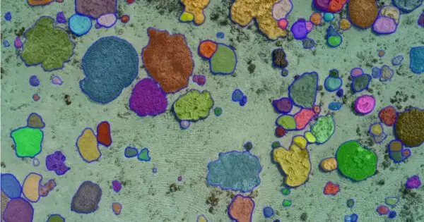
Can you use MetaAI’s tool ‘Segment Anything’ for drone imagery?
Dr Karen Joyce
How to share insights from drone mapping data
Dr Karen Joyce
What is the benefit of building a circular data economy?
Dr Karen Joyce
Software for Drone Mapping: Which one is the best?
Guest Author
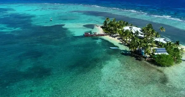
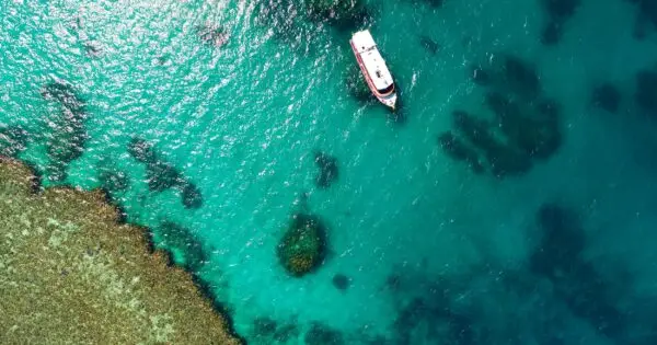
Drone mapping an isolated reef in the Caribbean
Dr Karen Joyce
Mapping with the IUCN habitat classification scheme
Dr Karen Joyce
Four ways to georeference your drone datasets
Anne Crosby
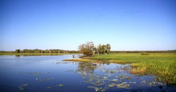
Mapping wetlands with drones and machine learning
Anne Crosby
The value of recreational drone mapping
Anne Crosby
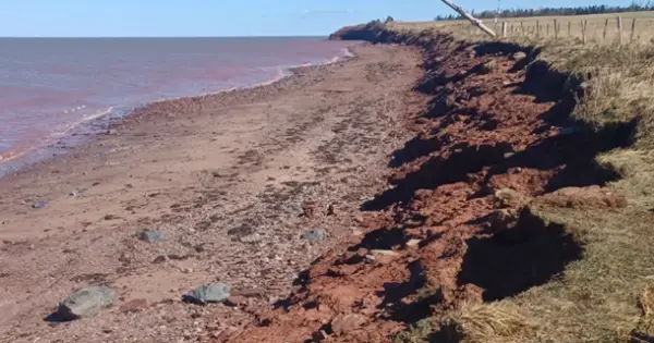
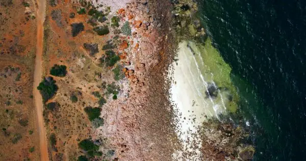
Measuring coastal erosion in Nova Scotia, Canada
Anne Crosby
Mapping the bathymetry of the Mediterranean
Anne Crosby
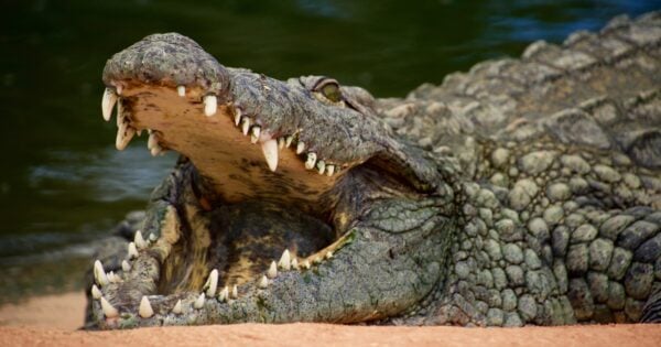
Green Sea Turtle Conservation | How can drones help?
Anne Crosby
Drone Data Management (Simple to use)
Anne Crosby
How drones are helping farmers map wildlife damage
Anne Crosby
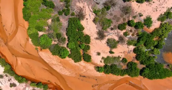
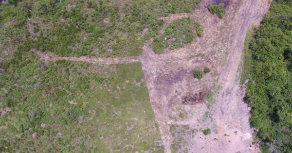
Monitoring savannah ecosystem restoration with drones
Anne Crosby
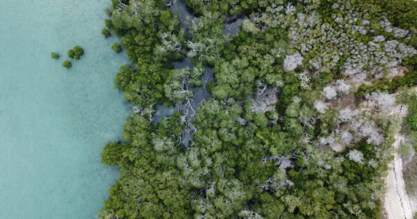
Mangrove conservation – How can drones help?
Paul Mead
Drone environmental monitoring: The benefits of perspective
Anne Crosby
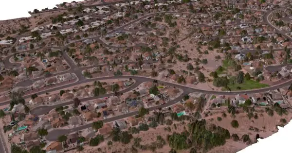
What is drone mapping?
Anne Crosby
Mapping seagrass with machine learning and drones
Anne Crosby
Satellite imagery and drones: Understanding fires and floods
Anne Crosby
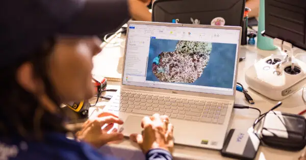
A ‘Dell-icious’ partnership for GeoNadir
Dr Karen Joyce
Using Dronelink for drone mapping: a review
Joan Li
The Earth from above – Our story in motion
Dr Karen Joyce
Using drones and precision agriculture to protect the reef
Anne Crosby
Geological mapping with drones
Anne Crosby
A snapshot in time: Drone mapping heritage sites
Anne Crosby
What can you do with a drone?
Anne Crosby