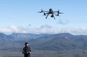
Drone mapping allows you to quickly collect detailed information about an area. But in many cases, the true value of this data is in its ability to be related to other geospatial data, like field observations, satellite imagery, or even other drone mapping datasets. To do this accurately, your drone dataset needs to be georeferenced so the internal coordinate system of the dataset matches a geographic coordinate system.
Here are four ways you can georeference your drone data.
1. Standard drone GPS
The easiest way to georeference your drone data is to use the geo-tagging on drone images. Any drone with mapping capabilities comes with an in-built GPS for navigation purposes. This same GPS also notes the location where images were taken with a geo-tag. Processing software can then use this location data to georeference images and orthomosaics.
However, despite this being the easiest and cheapest way to georeference your data, it’s also the least accurate. The GPS in most drones is only accurate to a few metres. If you’re looking at the data on its own, this level of accuracy might not be a problem. But, if you’re trying to relate it to other high-resolution geospatial data this has the potential to introduce significant error.
- Easy
- Quick
- Cheap
- Low accuracy
2. Ground control points
Ground control points (GCPs) are an easy, affordable way to improve the accuracy of image georeferencing in data processing. GCPs are fixed points in a survey area that are clearly visible and identifiable in drone images. These might be naturally occurring features, or a mark a surveyor has deliberately placed. A GCP can be anything, but many drone pilots favour a black and white chequered tile because they contrast distinctly against most backgrounds.
- High accuracy
- Affordable
- More fieldwork
- Slower, especially in challenging environments
When you place GCPs, you record their GPS location using a highly-accurate, hand-held GPS. Then, when you process your data, you can use the precise location of GCPs to correct for any error in the drone’s GPS.
The more GCPs you have in a survey area, the more accurate you can make your georeferencing. However, the trade-off is that more GCPs means more time to set-up and pack-up from a survey. On a flat, grassy field, this might not pose much of an extra challenge. But in other environments, like mangroves or steep hillsides, more GCPs can make a drone mapping mission much more time-consuming. Using GCPs can also be particularly challenging in marine environments.
Why accurate georeferencing is so important
an example from wetland species mapping
Species diversity is an important indicator of ecosystem health. Mapping what species occur where can therefore tell researchers a lot about ecosystem restoration and recovery. Dr Sara Dugan and a team from Florida Atlantic University used drones and machine learning to map species distributions in a recovering wetland. To train the machine learning algorithm, they needed to identify the location of plant species on the ground, and then match them up to the same plant from the air. The algorithm could then use this data to learn what these species look like from a drone.
But to match up the field data with the drone data, they needed to make sure the drone data was accurately georeferenced. If it wasn’t, there was the risk of the field and drone data mismatching and giving the machine learning algorithm incorrect training data. So Sara and her team used 15 GCPs, that they knew the location of with centimetre accuracy to georeference the drone data.
3. Real-time kinematic (RTK) positioning
While GCPs remain the most common standard for georeferencing drone mapping, real-time kinematic positioning (RTK) systems are gaining popularity. RTK drones have a more accurate GPS. When flying, it pairs with a portable base station to correct GPS error in real time, offering centimetre level accuracy without the need for GCPs. However, RTK systems do rely on a stable connection between the base station and drone during a mapping mission. Obstacles between the base station and drone can interfere with signals. This stable connection also requires wireless, so you can’t use it in remote locations.
- High accuracy
- Real-time georeferencing
- No extra fieldwork
- Expensive
- Requires stable wireless connection
4. Post-processing kinematic (PPK) positioning
While PPK requires the same hardware as RTK, it corrects the accuracy of GPS tagging in processing after the flight rather than in real-time. It offers the same level of accuracy as RTK, you just don’t get accurate georeferencing immediately. Because the correction happens after flying, you also don’t need a stable, real-time connection to the base station. This makes it better system to use in remote areas or where signal is weak or unreliable.
- High accuracy
- No extra fieldwork
- No wireless connection required
- Expensive
- Georeferencing in post-processing, not real time
Why RTK and PPK don’t necessarily eliminate the need for GCPs
an example from remote island mapping
In theory, a drone with an RTK or PPK system doesn’t need GCPs for accurate georeferencing. But like any system, bugs, mistakes in set-up and other factors can introduce errors. It’s good practice to include a few GCPs, even in an RTK or PPK survey, to double check the system is working properly. This is particularly important if you’ve recently changed the way you capture or process your data.
Martijn van der Helm used a combination of RTK and PPK when he mapped green sea turtle nesting beaches on Teti’aroa, French Polynesia. Despite using the more advanced position system, he also made sure that he used GCPs in each of his surveys. Because he used GCPs, he noticed an error in the vertical accuracy in some of his initial surveys introduced by a new camera he was using. The GCPs allowed him to not only notice this error, but correct for it, without having to repeat the flight.
Managing your drone data with georeferencing
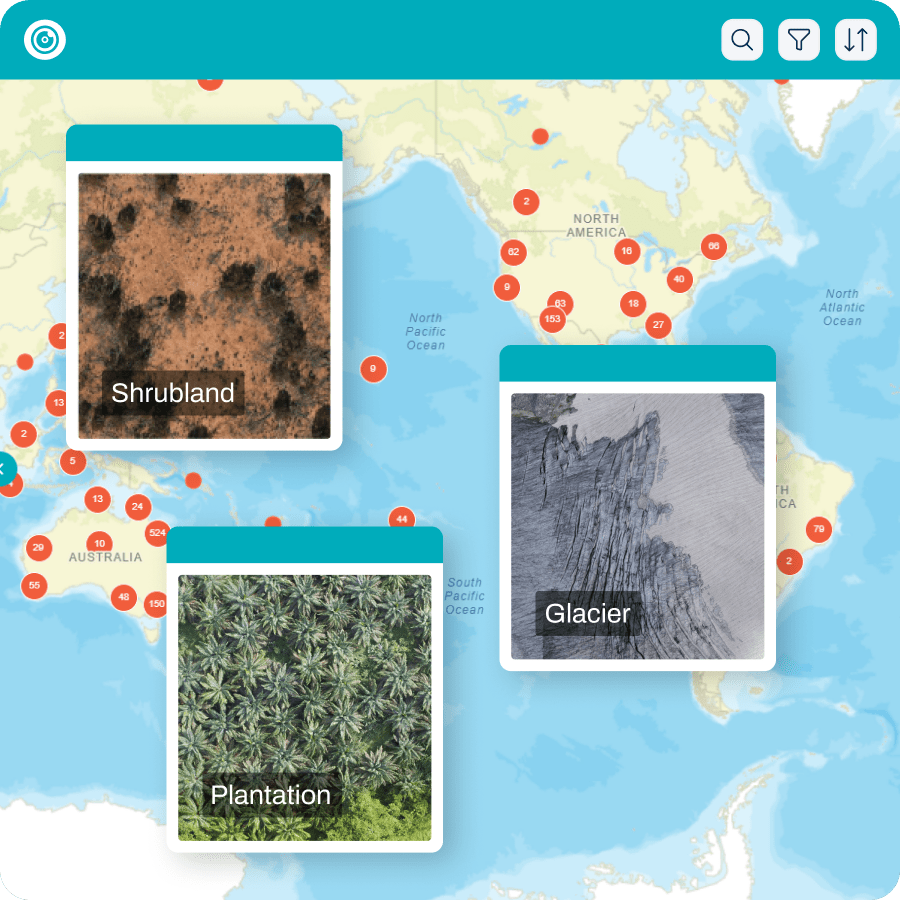
You can also use the georeferencing of your datasets to help manage and sort them. By uploading your datasets to GeoNadir, you can view all your datasets on a world map, making it easy to organise and find datasets by their location.
It also makes it super easy to compare time series datasets collected in the same location! Thanks to GeoNadir’s FAIR data sharing principles, you can also view datasets uploaded by other users, so you can easily find and compare other datasets in the same area. Get started for free today!


