
Across the earlier posts in this series, I’ve argued for a shift in how we think about rehabilitation monitoring. To move away from snapshots and visual checklists, and towards behaviour, context, and trajectories through time. To recap:
- Rehabilitation monitoring and the problem with “seeing weeds”
- What does good ecosystem rehabilitation look like over time?
- Is this area behaving like its analogue?
- Why time is the most undervalued dimension in rehabilitation monitoring
Once you accept the framing presented in this series, a practical question follows:
How do we design a monitoring program that captures what matters, without becoming prohibitively expensive or analytically overwhelming?
The answer is not to choose between field surveys, drones, and satellites. It’s to use them together in a monitoring hierarchy.
Not all data need to do the same job
A common source of frustration in rehabilitation monitoring outcomes is derived from expecting a single data source to answer every question. I am frequently asked to compare field survey, drones, and satellites – and for my opinion on which is ‘best’. And of course the answer can only be ‘it depends!’
Most times, those asking for the comparison have already developed their own perspectives on the answer. They consider field surveys to be the ‘source of truth’ and a regulatory requirement. They want high spatial resolution drone imagery to provide wall-to-wall assessments akin to the field survey. And typically satellites are dismissed because they can’t “see” individual plants.
However, these expectations and assumptions create false trade-offs. The reality is that different tools are good at different things, and a robust monitoring program recognises this rather than fights it.
The role of high-frequency, lower spatial resolution data
High-temporal resolution data such as satellite time series are most valuable for understanding context. This includes both spatial and temporal context. That means that these data are helpful for understanding what is happening in nearby locations (spatial context), as well as the times in-between sampling (temporal context).
Frequently acquired satellite data are well suited to:
characterising seasonal behaviour,
identifying longer-term trajectories,
distinguishing short-term variability from persistent change,
highlighting periods or areas of divergence from expected behaviour, and
- providing archival data when and where you may otherwise have data gaps.
Data at these scales may not tell us why something is happening. But it is very good at telling us where and when to look more closely.
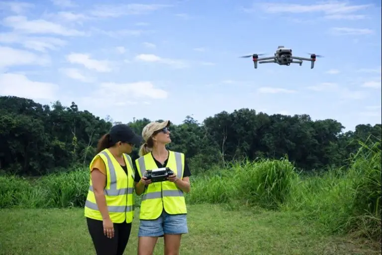
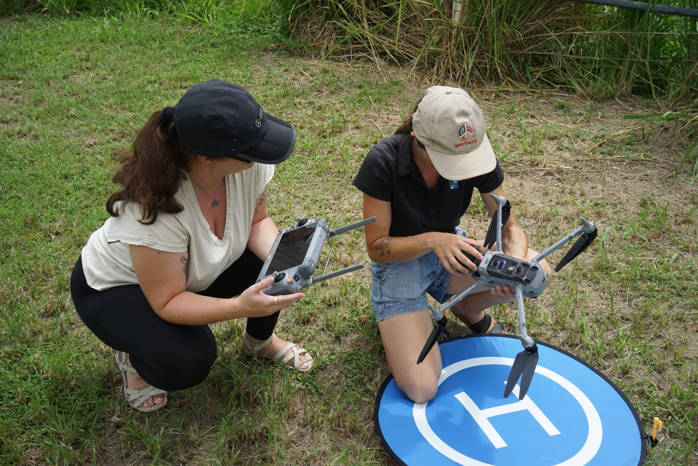
The role of targeted, high-spatial resolution data
Drone imagery and other high-spatial resolution aerial photography excel at spatial detail. People who love the latest ‘toys’ can’t wait to get their hands on drones. And to be fair, they are phenomenal tools and expressions of advancing technology!
They are well suited to:
mapping topographic structure and land / vegetation cover,
identifying specific features or management issues, and
supporting measurements that require spatial precision.
Used strategically, high-spatial resolution data can be deployed where broader monitoring indicates something interesting is happening. It is also by far the best option for mapping landforms. It is less well suited to being spread thinly across entire sites on fixed schedules and can be quite expensive to acquire and process for that. Targeted captures makes these data more informative and more cost-effective.
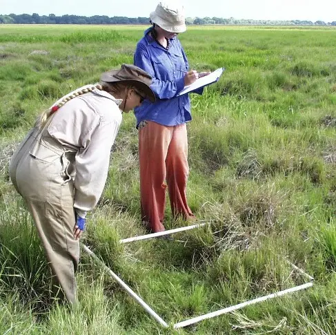
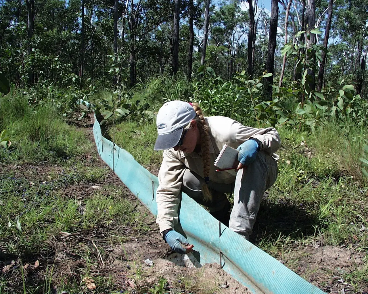
The role of field surveys
Field-based surveys remain essential. While drone mapping could also be considered field survey, I am not referring to it in this context. By field survey, I mean observing and taking measurements on the ground (or in-water) by a suitably qualified person.
Ecological field surveys provide information that no remote sensing product can fully replace: species composition, condition, soil properties, and ecological context. They also provide the grounding needed to interpret remotely sensed signals with confidence (AKA calibration and validation or cal/val).
In a hierarchical design, field surveys play a confirming and explanatory role. They help answer why patterns observed in broader datasets look the way they do, and whether those patterns reflect desirable or undesirable processes.
Putting the pieces together
In practice, an effective monitoring hierarchy might look like this:
Broad, frequent observations establish context and trajectories, and may inform appropriate sampling timing;
Targeted, higher-resolution data investigate specific signals or areas of concern; and
Field surveys validate interpretation and inform management responses.
Each layer informs the next, but also doesn’t need to occur in this order as feedback loops are common. Importantly, no single layer is expected to carry the entire burden of assessment, and therefore, each must help the others.
Hierarchical monitoring shifts effort from routine data collection towards informed decision-making. This means that instead of asking whether a site looks acceptable at a particular moment, the focus moves to whether it is behaving as expected under real-world conditions. The behaviour then allows us to consider when and where intervention or further investigation is actually warranted.
This approach also aligns well with practical constraints. High-frequency satellite data provide continuity without excessive cost, while more expensive or labour-intensive methods are used where they add the most value.
Good monitoring design is less about the tools themselves than about the questions they are meant to answer. When time, context, and scale are considered explicitly, satellites, drones, and field surveys stop competing for attention and instead become complementary parts of a coherent system.
Designing monitoring as a hierarchy allows each data source to do what it does best. High-frequency data provide continuity and context, targeted high-spatial resolution data add spatial detail where it matters most, and field surveys ground interpretation in ecological reality. None of these layers is sufficient on its own, but together they allow patterns to be interpreted with far greater confidence.
Rehabilitation monitoring works best when it moves away from checklists and toward understanding behaviour through time. A hierarchical approach doesn’t just reduce cost or complexity, but instead improves decision-making by ensuring that effort is directed where it adds the most value, and that change is interpreted in context rather than in isolation.

