Getting started resources
We are all about education! We want you to select the right drone, collect good data, and be confident in creating insights!
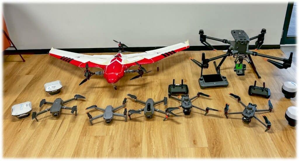
Get the right drone for drone mapping

Don't waste $$$, get the right advice first!
Getting the right drone for drone mapping is not a case of getting one that just fits your budget! It is making sure that the drone you get has a mapping capability first!
A 15-minute consultation with our team could save you thousands of dollars!
Which drone is right?
Buying the wrong drone for drone mapping can be a waste of money! Don’t make this mistake and get the right advice.
Read this blog to assess your options.
Do you need RTK?
Deciding if you need RTK or ground control points depends on the positional accuracy for your need for your data.
We explain it all in this detailed blog.
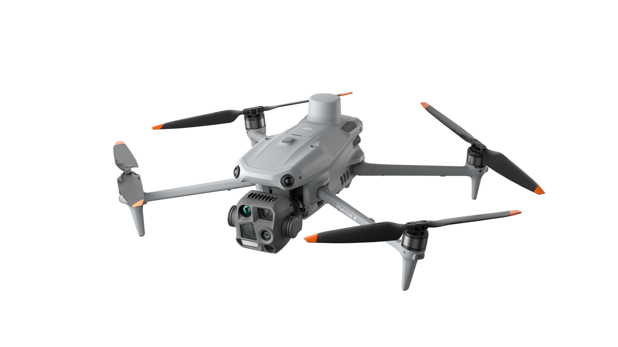
Matrice 4 Enterprise
We tested the latest DJI Matrice 4 Enterprise, putting it through its mapping paces, and compared it to the Mavic 3E.
Read the review in this blog.
Buy drones from us
You can purchase the full range of DJI Enterprise products from us.
(Australian customers only)

Which sensor do I need?
There are a range of sensors (cameras) available on drones. These include RGB (standard camera) thermal, multispectral, and LiDAR. Choosing the right one for your application could save you thousands.
Multispectral data
Learn more about using the Mavic 3 Multispectral and the processing outputs.
GeoNadir can process up to 10 bands of multispectral data on our Pro + plan.
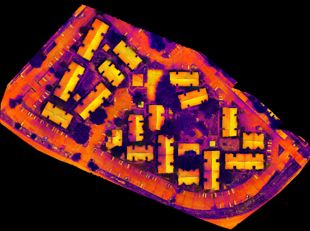
Thermal data
Learn more about using the Mavic 3 Thermal drone and the workflows.
GeoNadir can process thermal data on the Professional plan.
LiDAR data
Learn more about how LiDAR is commonly used to create highly accurate 3D maps.
GeoNadir does not support LiDAR data, but has a blog about considerations.
Get started with GeoNadir
Watch the demo or get personal support
Getting started with GeoNadir is simple, just like our tools to process, manage, analyse, and share your drone mapping data. Watch our product demo or book a personal onboarding call.
A 15-minute call will have you started and analysing your data!
Drone mapping basics
New to drone mapping? Read our getting started guide.
This guide will take you through the data collection process to ensure your data processing works seemlessly.
Ultimate guide
Our ultimate guide gets you creating insights on your data in no time!
This guide will take you through all the basic features and tools in GeoNadir, and get you from data capture to data analysis faster!
Help centre
Our comprehensive help centre has all the answers you might need on our features.
If you can’t find what you are looking for, you can email us or use the messanger in the bottom right of this page.
The drone mapping essentials

Looking to build your drone mapping skills?
Explore our free e-book packed with valuable tips and tricks for capturing analysis-ready drone mapping data. Whether you’re aiming for superior results or starting from scratch, we have you covered!
What you will learn with this e-book
The essential guide to drone mapping that will save you years of trial and error learning
Essential tips for drone mapping
We guide you through decisions such as where to fly (legally and ethically), the sort of drone to buy for your needs, the apps you should use for mission planning, and how to create an effective flight plan to acquire data suitable for environmental mapping.
Calculating your optimal flying height
There is no point in covering a large area if you can’t identify your feature of interest. We explain the math you need to do to fly at an optimal height so you can properly capture the features you are trying to map.
Choosing the best time of the day for drone mapping
Learn how to determine the optimal time for drone image capturing and take into consideration factors that may impact your mission such as weather conditions and environmental factors.
Selecting the best mission planning app
Some apps control the drone itself and some apps provide a peripheral but equally important service, such as ensuring that we're operating safely and legally while flying. We provide the essential guidelines you need to choose the app suited for your needs.
Catching your drone
It may sound basic, but catching drones in mid air is a risky business. We teach you how to do it correctly.
Ground control
Sometimes it’s not possible to find reasonable ground control so we need to create our own. Aeropoints are designed for this purpose and we teach you all you need to know about them.
Customer stories
Our customers all have slightly different problems they are solving, or environments they are working in. But they all have one thing in common – they want a simple to use, intuitive workflow to get them from data capture to data insights faster.
Thermal Vision
Learn how Thermal vision uses GeoNadir to create insights with thermal data.

Neilly Group
Learn how Neilly Engineering Group uses GeoNadir to transform their drone data workflow.

Try GeoNadir for 7 days on us!
Hundreds of businesses and thousands of professionals choose GeoNadir. Try a 7-day FREE trial. No credit card required.
