Preserving reef catchments
Reef Catchments are a Natural Resource Management authority, responsible for reporting to Governments, landholders, and other community members/groups.
They work with landholders and other stakeholders to help improve the health of water, waterways, and wetlands, improving biodiversity and pest management practices while enhancing productivity. This work is aimed at having a positive impact on the jewel of Queensland’s crown, the Great Barrier Reef.


Solving their frustrations
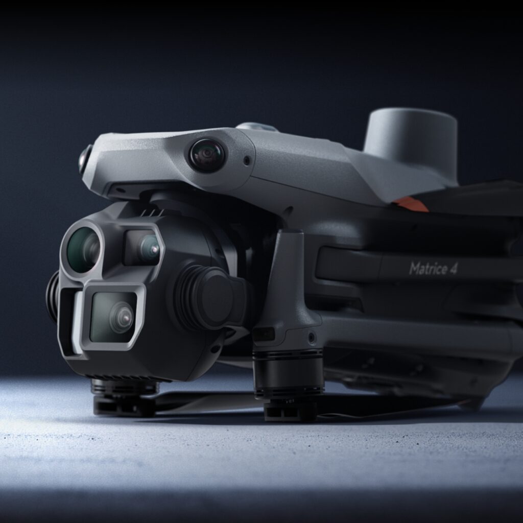
Reef Catchments has been using drones for the past couple of years, and they knew the potential of Earth observation data from drones could greatly improve their projects, but the use of this data was a challenge in the following ways:
- The workflow from data capture to processing to analysing and sharing was challenging.
- Storage of data was becoming problematic.
- The existing software they were using had a steep learning curve for non-technical users.
They wanted a solution that could:
- Provide their drone pilots with a simplified workflow for data capture and processing.
- Give their data analysts an easy way to export the data into a GIS using a tile mapping service link or download feature.
- A user-friendly way to share data with non-technical stakeholders via projects.
Our solution for them
GeoNadir provided Reef Catchments with a Professional plan allowing multiple people to upload and access data in a single team workspace.
This workspace can be accessed by all the staff at Reef Catchments with various user permission levels, and all the organisations drone data is displayed on the map, increasing data visibility and discoverability.
GeoNadir onboarded their team members who are capturing the drone data to make sure that the data captured is of the highest possible quality.
We also worked with their team using and analysing the data, making sure they know how to best utilise the data in the ArcGIS platform by using the GeoNadir tile mapping service link, which streams the data right into the GIS – no downloading of data required.

Looking forward
Since working with GeoNadir, Reef Catchments has seen a huge shift in efficiency of its workflow in not only managing the drone data, but also an easier way to share the data with others in the team and stakeholders. The ability to share datasets using the GeoNadir projects feature, without having to use a GIS, is a super user-friendly way for non-technical data users.
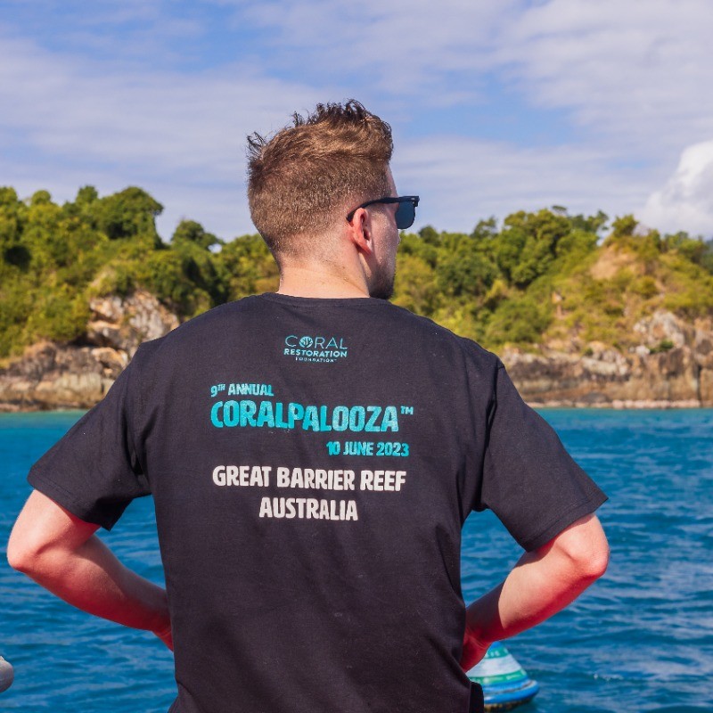
Morgan, a Project Officer in the Conservation and Communities team uses GeoNadir for his work every week and noted that since using GeoNadir he has found it much simpler to use than other drone processing systems, and the tools inside GeoNadir for analysing, sharing, and exporting data speed up his workflow.
As a not-for-profit, having tools that are not only cost effective but also efficient for staff who have multiple responsibilities is an absolute must.
GeoNadir is continuing to work with Ref Catchments to ensure they can focus more on protecting the Reef, rather than wrangling data.
"GeoNadir has been incredibly intuitive for me to use, making it a real asset for us as an organisation, as we are not bogged down in trying to learn the back end of a program from scratch. I just love the simplicity of the program from a user perspective. The system is set out clearly and in a way that makes it easy for us to share data across the organisation.
Likewise, if I were to run into any concerns, or did have any questions, it was incredibly easy to get in touch with the team and get support from Paul. I don’t think I've ever experienced such active support for a program in my career yet, which has made it that much more appealing. Paul and the team have also been investigating how people use it, and regularly reach out to us, to ensure that the product matches what we use it for, which gets me excited to see where the program will be in the coming months."

Why Reef Catchments work is needed
The protection and restoration of our natural resources is a key part of ensuring our coastal environments can thrive. Through innovative solutions and community engagement, Reef Catchments Limited helps to protect waterways, conserve biodiversity, and promote sustainable practices.
Their holistic approach ensures the preservation of the Great Barrier Reef and surrounding areas, fostering a healthier environment for future generations while supporting local communities and industries.
This is why we are proud to be working with Reef Catchments, who work with local communities in the Mackay, Whitsunday, and Isaac regions of Australia to develop natural resource management solutions.
Ready for a more organised drone mapping data analysis workflow?
Upload a few datasets today. It’s free to get started.


