Skip to content
Solutions
Mining teams
Environmental consultants
Government teams
Rangers
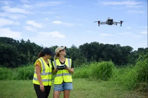
Drone pilots
For consultants
Pricing
Solutions
Mining teams
Environmental consultants
Government teams
Rangers
Drone pilots
For consultants
Pricing
Log in
Book a demo
We help environmental teams make better decisions
Log in
Book a demo
Main Menu
Solutions
Mining teams
Environmental consultants
Government teams
Rangers
Drone pilots
For consultants
Pricing
Subscribe for regular
insights & updates
First Name
Email
Subscribe
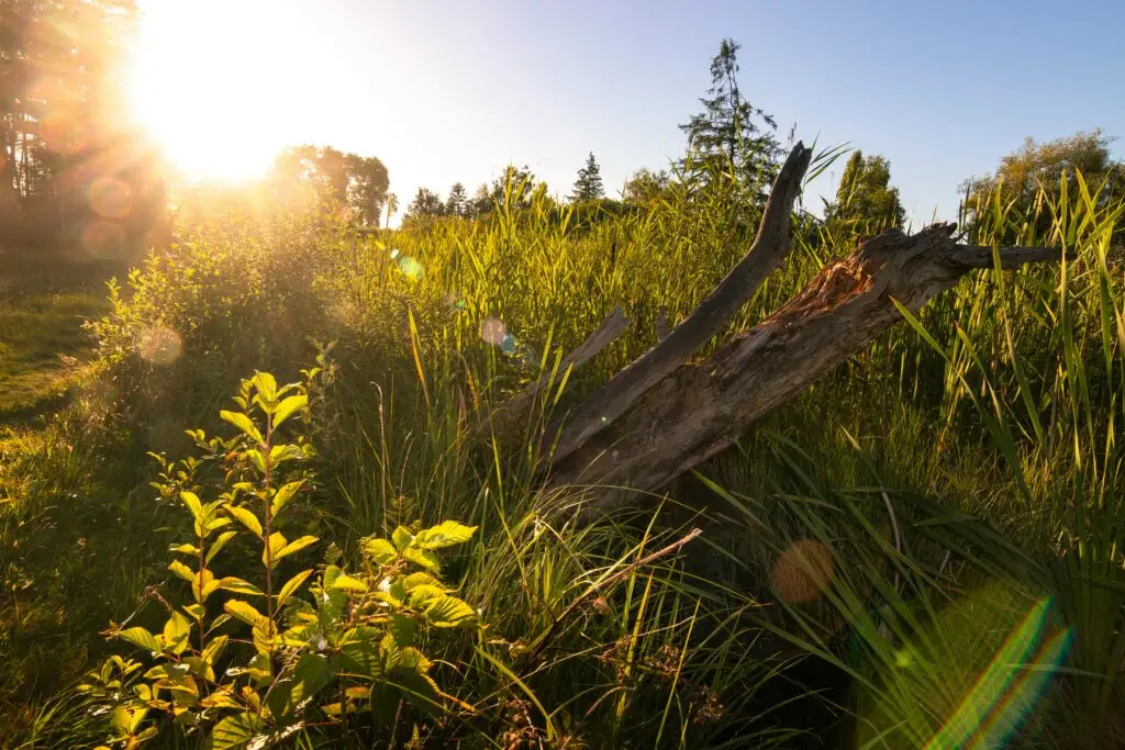
Your rehabilitation management plan is a spatial problem.
Paul Mead
Rehabilitation monitoring beyond annual reports
Dr Karen Joyce
Designing a monitoring hierarchy that actually works
Dr Karen Joyce
Why time is the most undervalued dimension in rehabilitation monitoring
Dr Karen Joyce
Why analogue sites matter in rehabilitation monitoring
Dr Karen Joyce
Stories from above blog
Search for:
Search
Show All
Artificial Intelligence
Case Studies
Drone Data Capture
Drone Data Processing
Drone Mapping Tips & Tricks
Drones in Education
Ecosystems
Featured Collection
Learn and Inspire
Product Updates
Show All
Show All
Artificial Intelligence
Case Studies
Drone Data Capture
Drone Data Processing
Drone Mapping Tips & Tricks
Drones in Education
Ecosystems
Featured Collection
Learn and Inspire
Product Updates
What does good ecosystem rehabilitation look like over time?
Dr Karen Joyce
Rehabilitation monitoring and the problem with “Seeing Weeds”
Dr Karen Joyce
What we shipped in 2025 – and why it matters for your work
Dr Karen Joyce
Modernising sea cucumber surveys with drone reef monitoring
Dr Karen Joyce
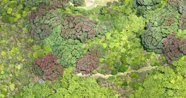
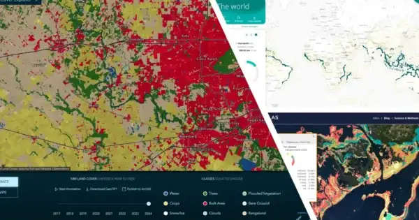
Can we trust global mapping products?
Dr Karen Joyce
How to become an Earth observation slayer
Dr Karen Joyce
A dummies guide to GeoNadir’s classify data (random forest) feature.
Paul Mead
Flight Parameter Calculator
Joan Li
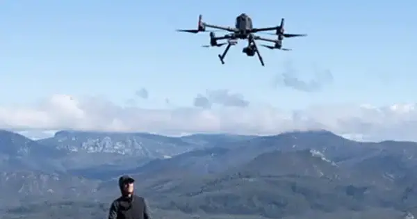
A review of the Matrice 4 Enterprise (M4E)
Paul Mead
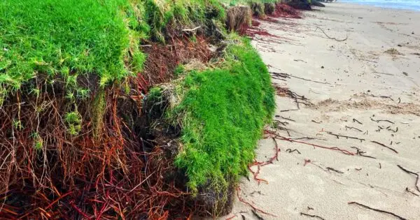
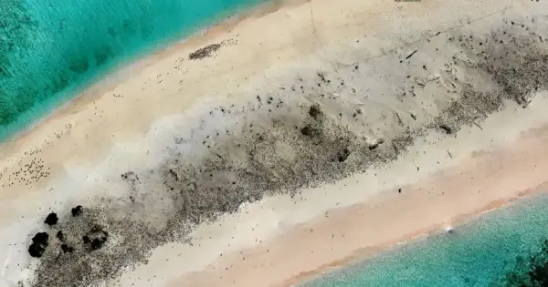
Ten ways to assess coastal erosion with drone mapping
Dr Karen Joyce
What is the best cloud-based drone mapping software?
Paul Mead
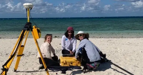
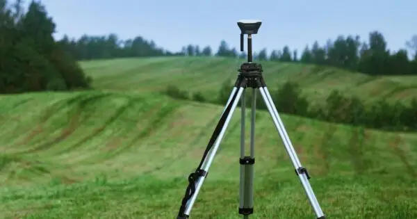
RTK, Ground Control Points, and GPS accuracy explained
Paul Mead
The best of 2024 from GeoNadir in drone mapping innovation
Dr Karen Joyce
Geospatial AI and collaboration in the future of Earth observation
Dr Karen Joyce
Multispectral mapping Made Easy? Hands-On with the DJI Mavic 3 Multispectral and Terra App
Joan Li
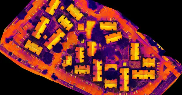
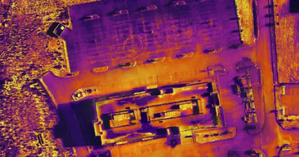
How Thermal Vision uses GeoNadir to create insights with thermal data
Paul Mead
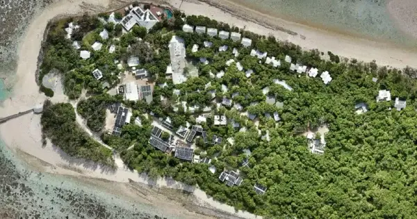
Islands of the Great Barrier Reef are more than just ‘oh cay’
Dr Karen Joyce
AI for wildlife monitoring with drones on the Great Barrier Reef
Dr Karen Joyce
How Neilly Group uses GeoNadir to transform their drone data workflow
Paul Mead
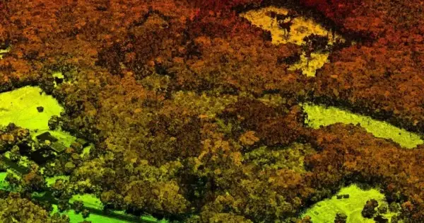
LiDAR drone mapping – what you need to know before delving in!
Dr Karen Joyce
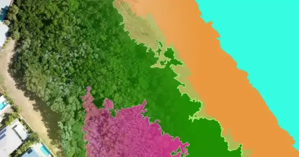
How contrast enhancement can help you get more from drone mapping
Dr Karen Joyce
How drone mapping fits into the image processing sequence
Dr Karen Joyce
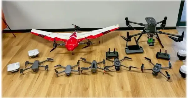
What is the best drone for mapping
Paul Mead
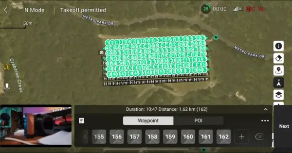
Mapping with Waypoints
Paul Mead
Drone mapping reveals mass mortality post coral bleaching on the Great Barrier Reef
Dr Karen Joyce
Drone mapping training opens up a whole new world of possibilities
Dr Karen Joyce
Natural ground control points increase drone mapping accuracy
Dr Karen Joyce
Multispectral drone mapping unpacked
Dr Karen Joyce
Ground control points (GCPs) can enhance your drone mapping accuracy
Dr Karen Joyce
Getting the basics right with the Pilot Institute
Paul Mead
National research drone data available to the public
Paul Mead
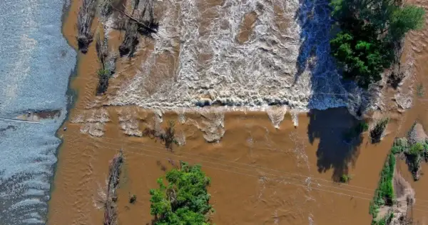
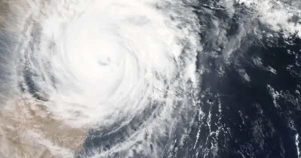
Detecting change with drones – a Cyclone Jasper case study
Dr Karen Joyce
How Reef Catchments users GeoNadir to protect critical ecosystems
Paul Mead
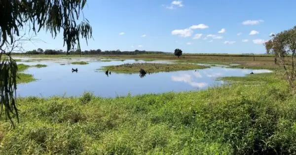
Data readiness for disaster management
Dr Karen Joyce
Thermal Drone Data on GeoNadir
Paul Mead
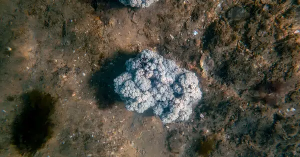
Hunting for soft corals in the coastal waters of NSW
Anne Crosby