Does it start with my budget?
Getting the best drone for mapping is not a case of getting the one that fits your budget! There are several considerations that you need to make before you purchase, and we will cover them here.
With DJI holding the dominant market share globally, it means that the availability of other drones suitable for mapping differs from country to country. The USA has a broader choice of alternatives largely driven by an increasing requirement for non-Chinese manufactured drones in certain organisations.
Which brand of drone should I choose?
DJI holds the dominant market share and undoubtably makes the best drones and flight control software. Whilst there are challenges in some Government departments around the use of DJI being a Chinese company, particularly in the USA, our recommended drones remain DJI.
Autel is another brand that has a solid performing suite of drones, however supply in Australia seems to be problematic, and there have been reports of less-than-optimal customer support. We had an Autel Evo 2 Pro, and it was great drone until it dropped out of the sky and we faced the challenges of their customer support.
Parrot has been around for a while and they have the ANAFI drone. This is not a consumer drone and they are focusing on the enterprise line in the USA with the Parrot ANAFI USA.
Skydio, like Parrot has doubled down on its Enterprise products for the USA market.
Anzu is an emerging contender for consumers, particularly in the USA. They have licenced DJI technology but are producing the drones outside of China to be able to comply with USA requirements. But their drones are a copy of the DJI Mavic 3 Enterprise drones, just a different colour (and at a higher price!)
Consideration: Which country are you in and are there restrictions on flying Chinese made drones for your mapping? If not, then our recommendation is DJI.


Mission planning
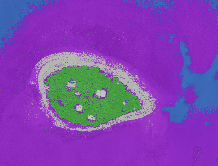
To conduct a mapping mission you need to be able to plan your mapping mission to allow your drone to fly autonomously, whilst capturing photos. Flying your drone autonomously allows you to capture the photos with both overlap and sidelap which enables the software, like GeoNadir, to reconstruct the orthomosaic.
You can fly manually, but the opportunity for error in not getting enough overlap and sidelap in your photos increases. If you collect bad data, then you are going to get a bad orthomosaic created.
Mission planning software is either native to the controller for the drone, or there are third party apps available. Compatibility with the third-party apps is only possible if the manufacturer has made the Software Developers Kits (SDK) available. This provides the app the ability to talk to the drone.
Unfortunately, DJI has not released the SDK for many of its latest consumer level drones nor has it released a native mission planning feature for these consumer drones.
If purchasing another brand, then make sure that you can use the controller to plan autonomous mapping missions.
Check out our video on mission planning with the DJI Mavic 3 Enterprise controller here.
I want to purchase a DJI drone, what now?
DJI has a range of drones from sub 250gm to sub 2kg which will be suitable for drone mapping. This is important as civil aviation regulations place restrictions on drones according to weight limits.
Whilst all DJI products are great drones for their category, some have limitations for mapping which are due to software blocks (SDK not released) and not hardware limitations.
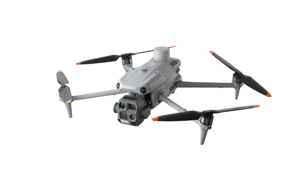
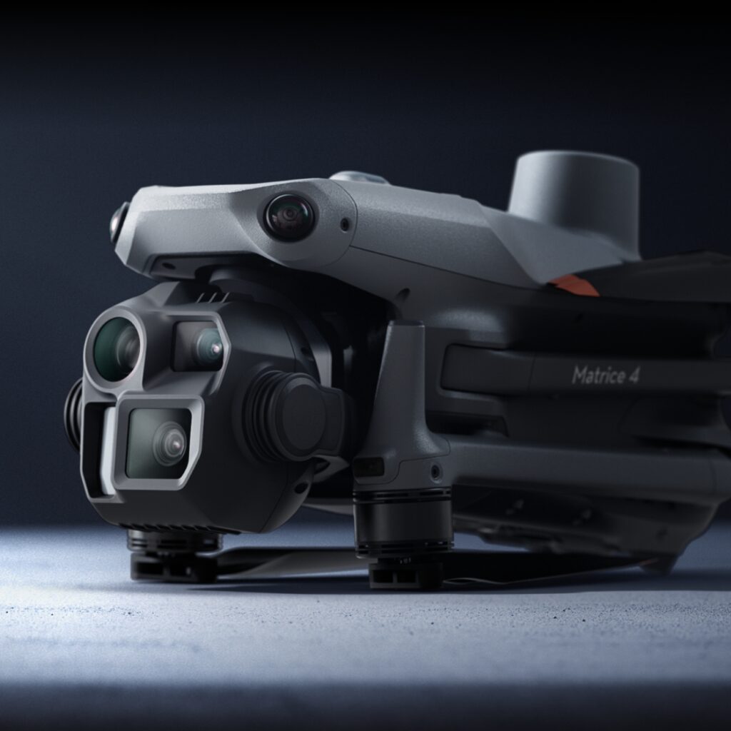
We recommend and sell the DJI Enterprise range, including the Mavic 3 Enterprise series (Thermal and RGB sensors), Mavic 3 Multispectral, and DJI Matrice 4 which has RGB and thermal sensor options. Whilst these are expensive drones for many, if you are using this drone for your work, then it is an absolute workhorse of a drone and performs exceptionally well.
The DJI Pilot Hub 2 on the controllers for these drones has a mapping mission planning feature native to the included controller, and it is very intuitive.
Other sub 2 kg DJI options
DJI Mini – Current model is the Mini 4 Pro – this does not have the SDK available, and the native app does not have a mapping mission planning feature.
The Mini 2 (not the Mini 2 SE), Mini 3, Mini 3 Pro does have the SDK released and is supported by apps such as Dronelink or Litchi for autonomous mapping missions.
DJI Air – Current model is the Air 3 – this does not have the SDK available, and the native app does not have a mapping mission planning feature.
The Air 2 and Air 2S does have the SDK released and is supported by apps such as Dronelink or Litchi for autonomous mapping missions.
DJI Mavic Pro and Classic – Current model is the Mavic 3 Pro and Mavic 3 Classic – these drones do not have the SDK available, and the native app does not have a mapping mission planning feature.
The Mavic 2 Pro does have the SDK released and is supported by apps such as Dronelink or Litchi for autonomous mapping missions.
Check out our videos for mission planning with Dronelink here or Litchi here.
I can’t afford the Mavic 3 Enterprise, but I want to do mapping
The next option might be to consider using waypoints to do a mapping mission.
The Mini 4 Pro, Air 3, and Mavic 3 Pro series all support waypoints. Using waypoints for mapping is not as simple as a mapping mission planning app which calculates the overlap and sidelap for you, but it is a workaround.
You can read more about using waypoints, including a demo video here.
Next steps
If you still need some further help or would like to buy a DJI Enterprise drone, then reach out to our team. With new drones being released regularly and product lines changing, our team keeps up to date so you get the best advice.
Contact us at hello (at) geondir.com


