
How cool is your local school? For the fifth year running, our sister company She Maps is searching for the coolest school with their annual school mapping competition. They’re challenging students of all ages to calculate the amount of tree-shade on their school campus, opening discussions about cooling, urban heat, landscape design, and climate change. And for the section year we are super excited to bring GeoNadir to the party!
How does the school mapping competition work?
The school mapping competition offers three levels of challenge:
- Hand drawn (with GeoNadir / Esri basemap imagery as reference);
- Digitising (with the GeoNadir drawing tool); and
- Javascript coding (with Google Earth Engine).
One of the best things about the challenge is that schools can get involved even if they don’t have drone data over their campus!
This is because the GeoNadir platform uses the fabulous Esri basemaps. They cover many parts of the world in high spatial resolution satellite imagery that students can use for the mapping competition.
What are students learning?
We love that students are learning about geospatial technology from as young as five years old! We see ten year old children are creating basic scripts in Google Earth Engine as part of the mapping competition. So can you imagine what the future workforce is going to be like when these kids get there?
Beyond the technology skills and exposure to satellite and drone data, students learn how to communicate information effectively with a map. This includes incorporating a scale bar, north arrow, legend, location inset, and data statements. The design and cartographic skills are seriously impressive!
Most importantly however, students learn about nature’s role in our health and wellbeing. And we hope that they can also take away a seed of an idea that they have the ability to help make the world a greener place. Everyone can plant a tree.
So how cool are our schools?
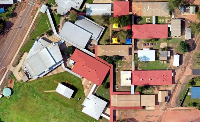
Unfortunately we’ve come to learn that many of our schools are concrete jungles. We’ve seen lots of schools with less than 10% shade. Often covered outdoor learning areas (COLAs) are replacing trees, and synthetic grass replaces the real stuff. This means that schools are their own little urban heat islands. And that’s not exactly conducive to a good learning environment!
But what if we could change this in our local community? Developing quantitative baseline data is the first step in recognising and communicating if this is a problem in the first place. There’s a number of past years’ school mapping competition entries below demonstrating this first step.
Mapping Competition – How to get involved!
Do you love the idea of the school mapping competition and kids creating a shade audit for their school? Here’s three things that you can do to get involved:
- Share the competition with your local school and encourage them to get on board.
- If you have kids and their school is not involved, why not do it with them over the weekend? No prior skills necessary. She Maps provides all the instructional materials when you sign up for the competition (it’s free by the way).
- If you have a drone and the appropriate accreditation and skills (see our training offerings here), consider approaching your local school and ask if they would like a drone map of their campus. Then all you need to do is upload your data to GeoNadir! We’ll process it, and they’ll be able to access the orthomosaic for free.
And you can always plant a tree 🙂
If you enjoyed this article, and would like to learn more about how drones are used to map different ecosystems, you might also like:
- Drone mapping an isolated reef in the Caribbean
- Mapping wetlands with drones and machine learning
- How drones are improving landslide risk management in Brazil
- Rivers of ice: Using drones to understand glaciers
If you’d like to learn more about digitising and creating insights with drone mapping, check out this blog and the video below.


