The value of recreational drone mapping

At GeoNadir, we’re all about seeing drone mapping data used to its full potential. Many of the datasets uploaded to GeoNadir have been mapped as part of targeted research projects. But that doesn’t mean they can’t provide useful information to answer other questions. Similarly, the datasets drone pilots collect recreationally can offer valuable insight, even if they were only originally collected out of curiosity or in appreciation of natural beauty.

The challenge of environmental monitoring: ‘before’ data

Our environment is always changing around us, from natural variability in the form of fires, floods, droughts and storms, to anthropogenic changes, like urban development or introduced species. As we work to live more sustainably, understanding the impact of events like these is important for recovery and future mitigation and planning. The foundation of detecting these changes, their causes, and impacts, is having before and after data.


Drones are helpful for environmental monitoring because they can be quickly and flexibly deployed to collect ‘before’ data when an event has been forecast. For example, researchers in Nova Scotia were able to map coastal banks before and after a hurricane to detect the extent and nature of erosion caused by the storm. However, oftentimes these events aren’t predictable or we don’t realise their significance until after they’ve passed. In these cases, datasets collected by others, like recreational drone mapping datasets, might be the only way researchers can quantify what was present before an event.

Showcasing datasets from recreational drone mapping flights

In recognition of the value of datasets uploaded from recreational drone mapping missions, we want to showcase some recreational datasets.


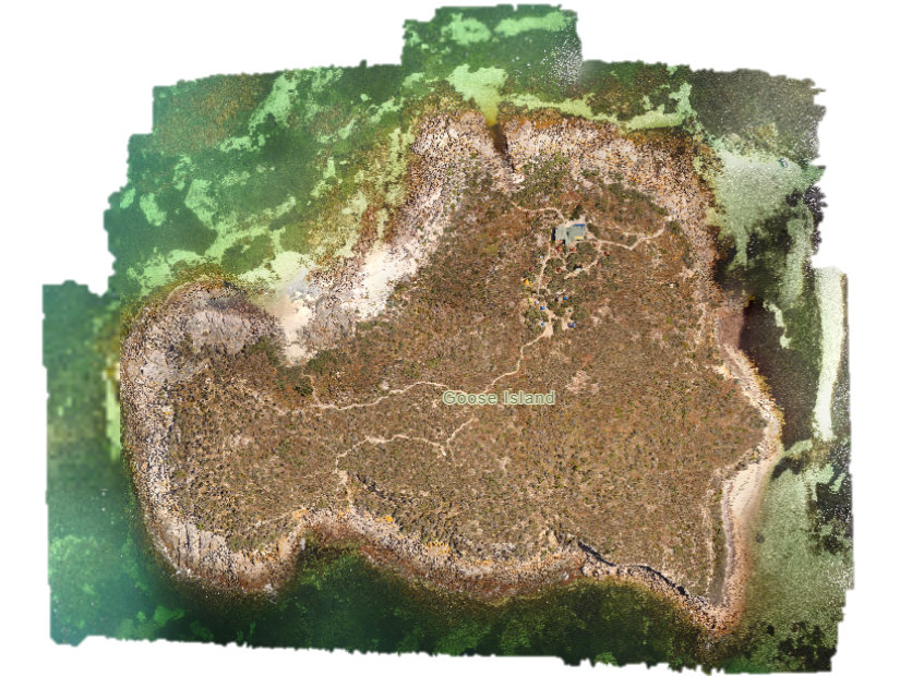
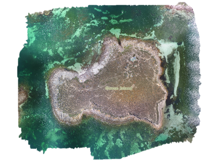
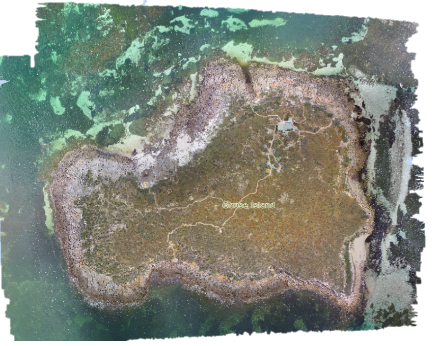
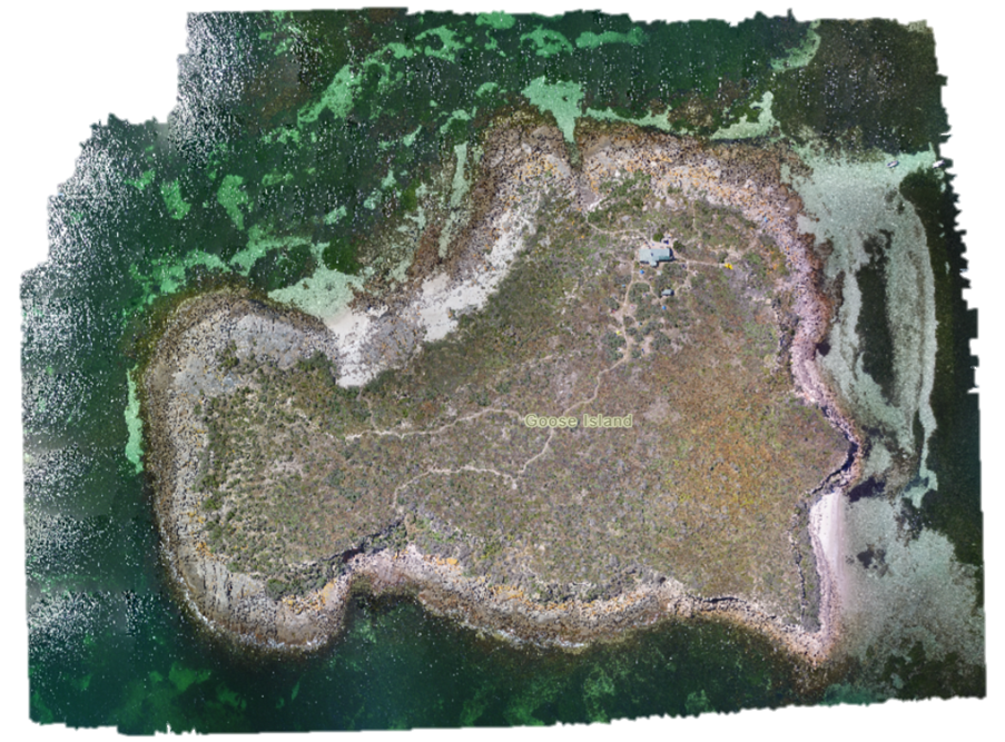
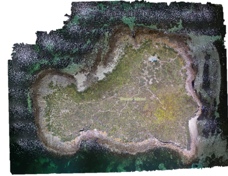
Woman Lake Wildlife Management Area, USA

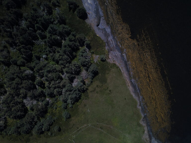
Woman Lake Wildlife Management Area is a small, protected piece of wetland next to Woman Lake in Minnesota, USA. Tom Kent chose to recreationally map the area with his drone out of curiosity, but the data he has collected could potentially be valuable for scientists interested in monitoring wetlands.


Woman Lake Wildlife Management Area, mapped by Tom Kent. View the dataset on GeoNadir.

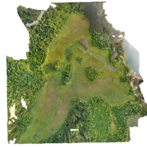
Wetlands, both marine and freshwater, provide important habitat for many species, as well as valuable ecosystem services, like carbon sequestration. But despite their importance, wetland habitats have suffered significant loss and degradation in recent decades. Pollution, invasive species, altered water use, and urban development remain significant threats to remaining wetlands. Drone data can help monitor the health of these ecosystems. Tom’s datasets provide a valuable baseline to detect future change in the wildlife management area.


Mill Creek Diversion, Walla Walla, USA

Recreational drone mapping isn’t just helpful for capturing natural environments. It can also be valuable for recording infrastructure. In regions prone to flooding, it’s not uncommon for built infrastructure to divert or mitigate the impacts of flood water. Mill Creek Diversion is one such piece of infrastructure, built to help manage flood waters in the city of Walla Walla, Washington. The facilities work by allowing the city to divide inflowing water between three creeks. The facilities can also divert water into Bennington Lake, which acts as a reservoir to hold excess flood water.


As recently as January this year, the diversion facilities reduced flooding in Walla Walla. Pete Stimmel mapped the Mill Creek diversion as a personal project. But by its nature, flood infrastructure like this is vulnerable to damage from flood events. Pete’s dataset provides a valuable, detailed historical record of the current condition of the facilities, and a comparison point if future floods damage the infrastructure.

Mill creek diversion facilities, recreationally mapped by Pete Stimmel

Mill Creek Channel Diversion Facilities, mapped by Peter Stimmel. View the dataset on GeoNadir.

Goose Island, Australia

Goose Island is a small rocky island in the Spencer Gulf, South Australia. Scotch College Adelaide has been using it as a venue for outdoor education camps for over 50 years. As the island is part of the Goose Island Conservation Park, the school also works to care for the environment on the island. Mostly, this involves trying to control African Boxthorn, an invasive weed that outcompetes native plant species on the island. A teacher at Scotch College, Andrew Tremain, has been drone mapping the island recreationally each year when students visit since 2018.


Time series datasets like this are incredibly valuable because they help capture the natural variability of an area. This makes it easier to tell what is ‘natural’ for the island versus changes that might be concerning and indicate an underlying problem. Andrew collected the time series data to track change on the island, particularly African Boxthorn cover.


Goose Island, mapped by Andrew Tremain. View the datasets on GeoNadir.

So what’s the value of recreational drone mapping?

Right now, we can only speculate about the value these datasets might offer in the future. They may just remain as beautiful, high quality snapshots of these locations at that point in time. However, they could also prove invaluable for understanding a future research question. Either way, because recreational drone mappers chose to map and upload these datasets to GeoNadir, the world can learn from and appreciate them.

Explore more on GeoNadir

These are just a small collection of some of the gorgeous datasets users have uploaded from all over the world. You can find more on GeoNadir, plus upload your own data to make storing, managing, and sharing your drone data easy! 

Subscribe for more stories from above, tips, & tricks

Share this article with your peers on social media.

Facebook
Twitter
LinkedIn
Topographic map with dots displaying data points of environmental drone mapping data. Three drone mapping overlays in different environments

Get a free account

  • Unlimited orthomosaics
  • Unlimited uploads
  • Free storage
Manage, process, analyze, and collaborate with your drone mapping data.