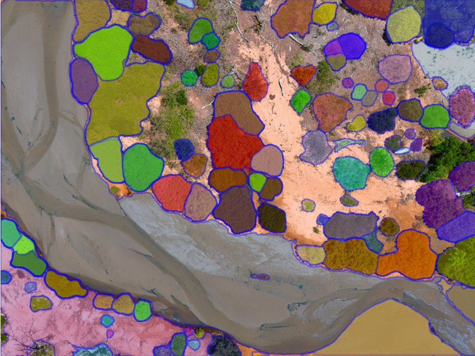
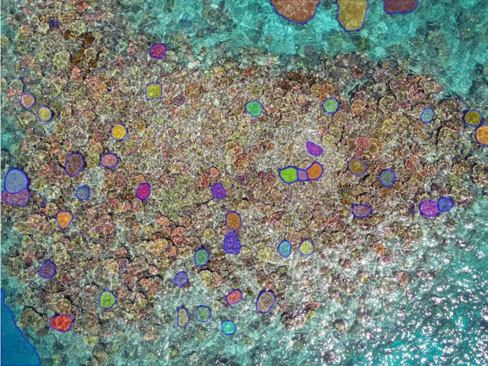
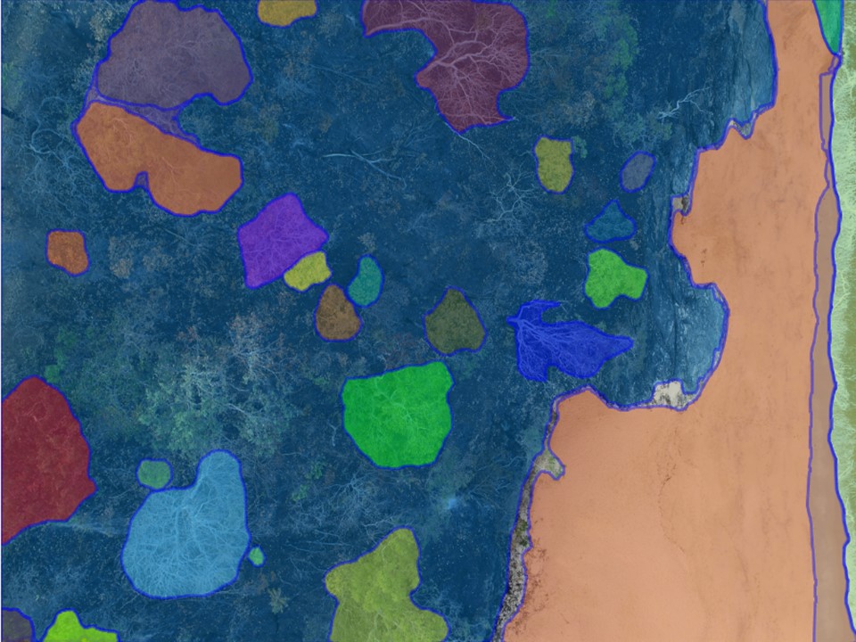
 Segmented image
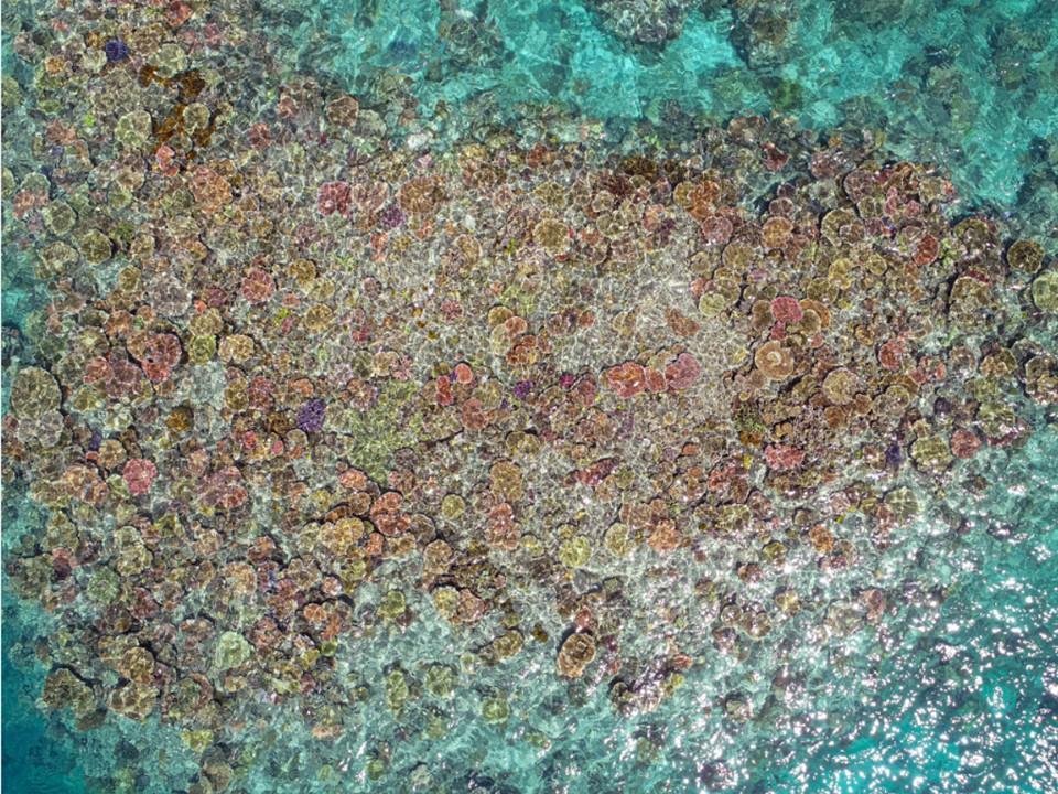
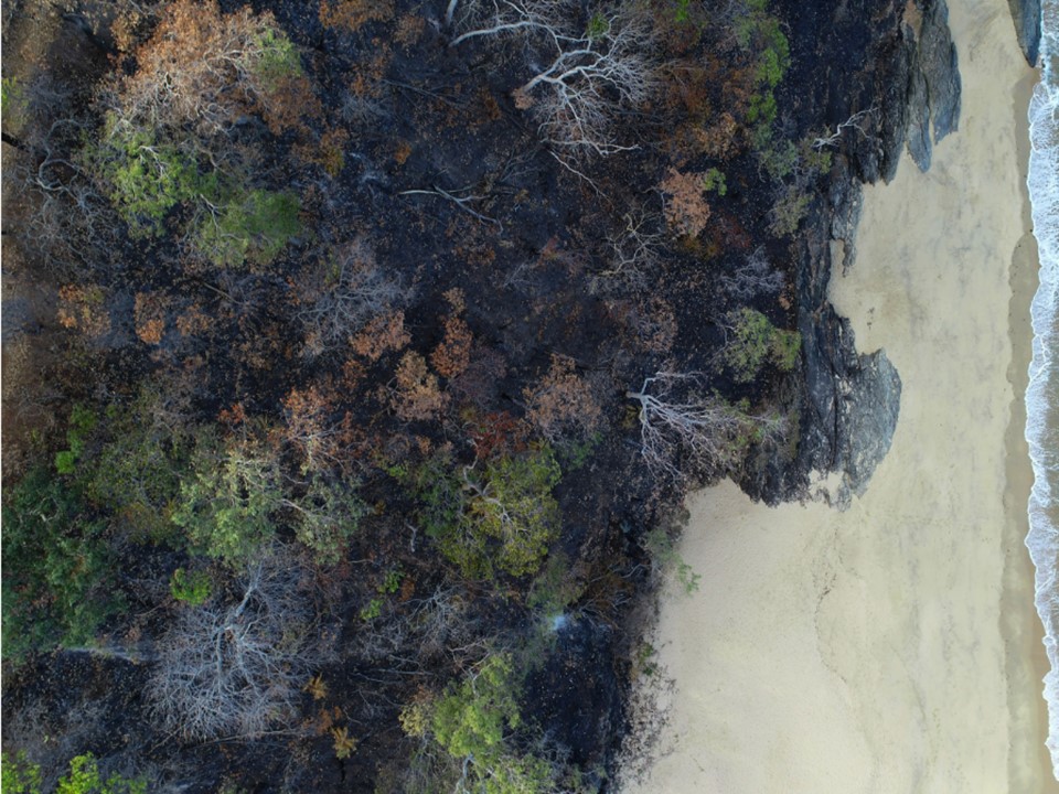
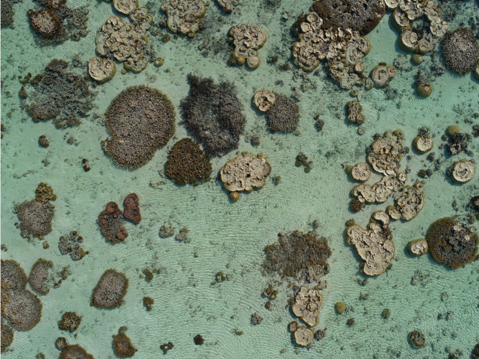 Original image
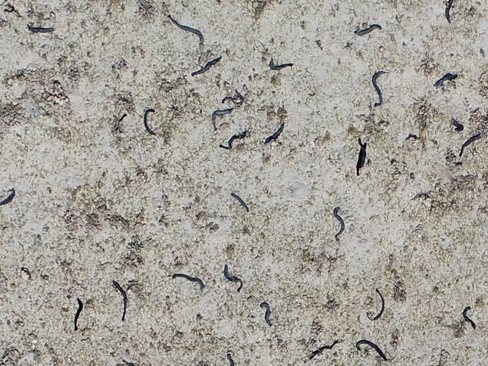
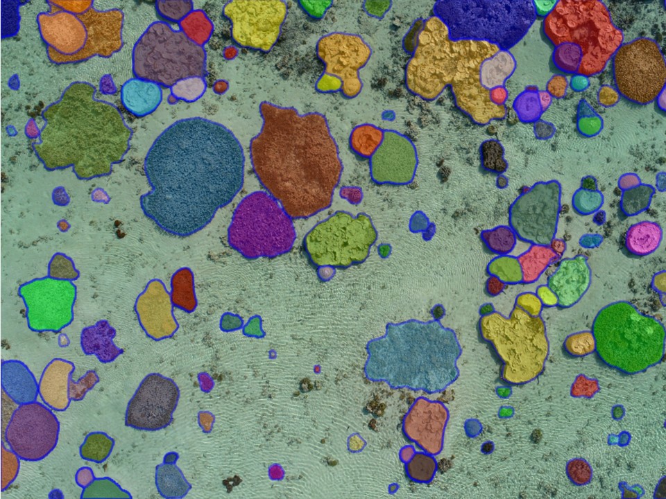
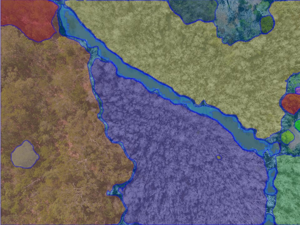
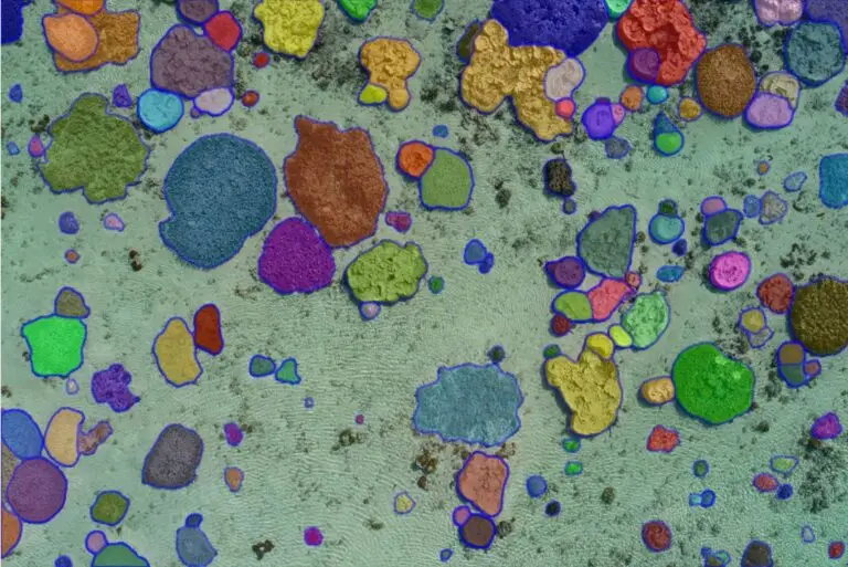
 Segmented image
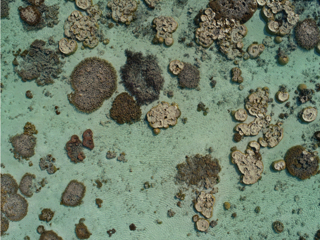
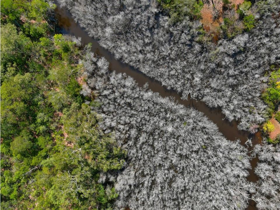
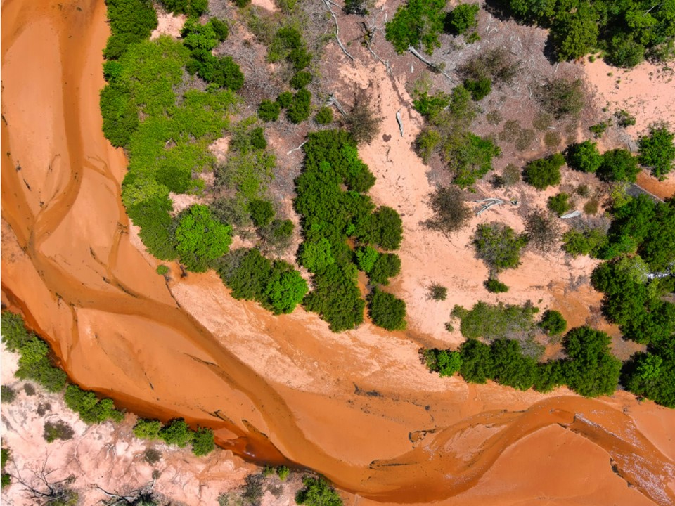
 Original image
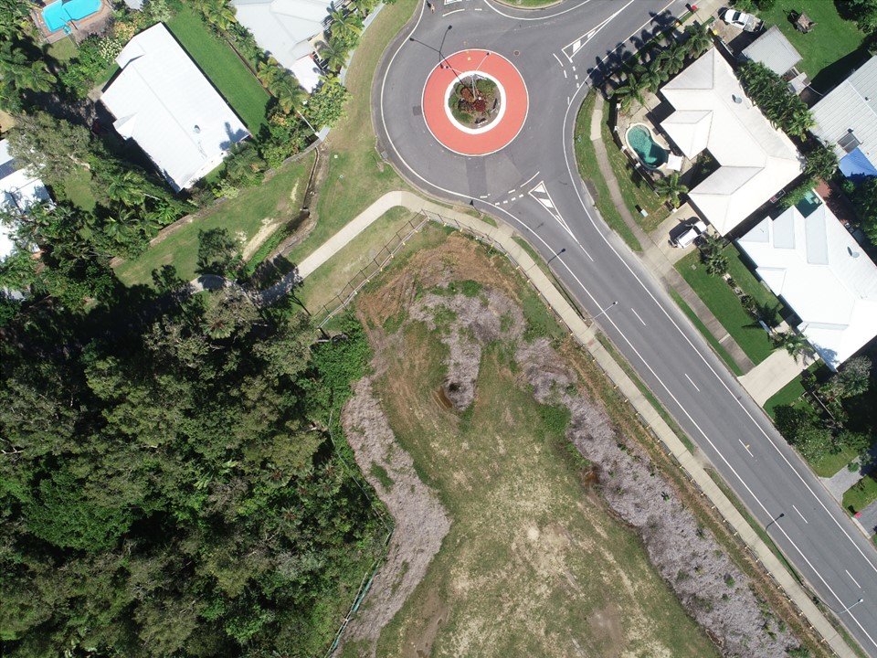
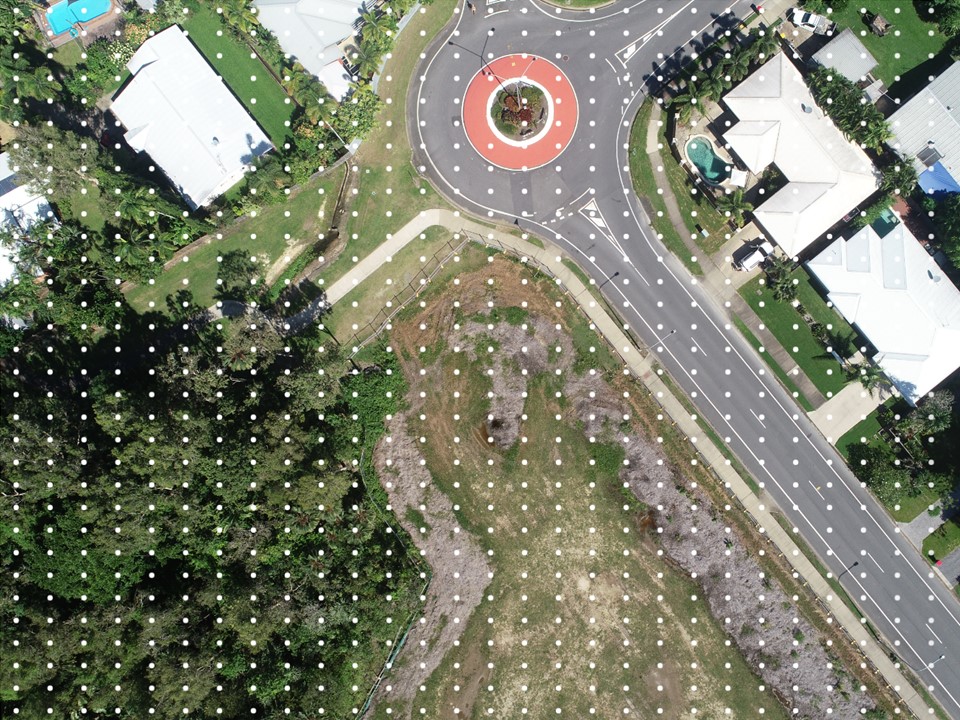
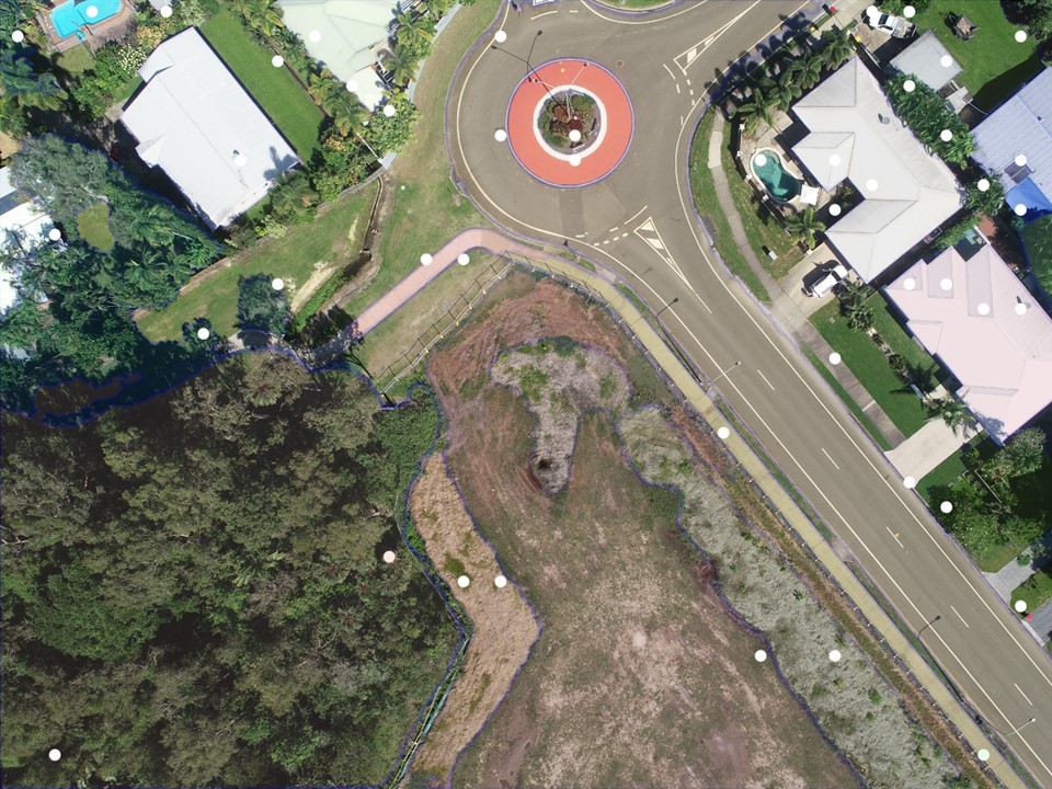
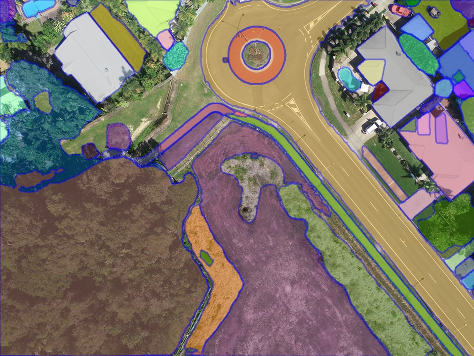
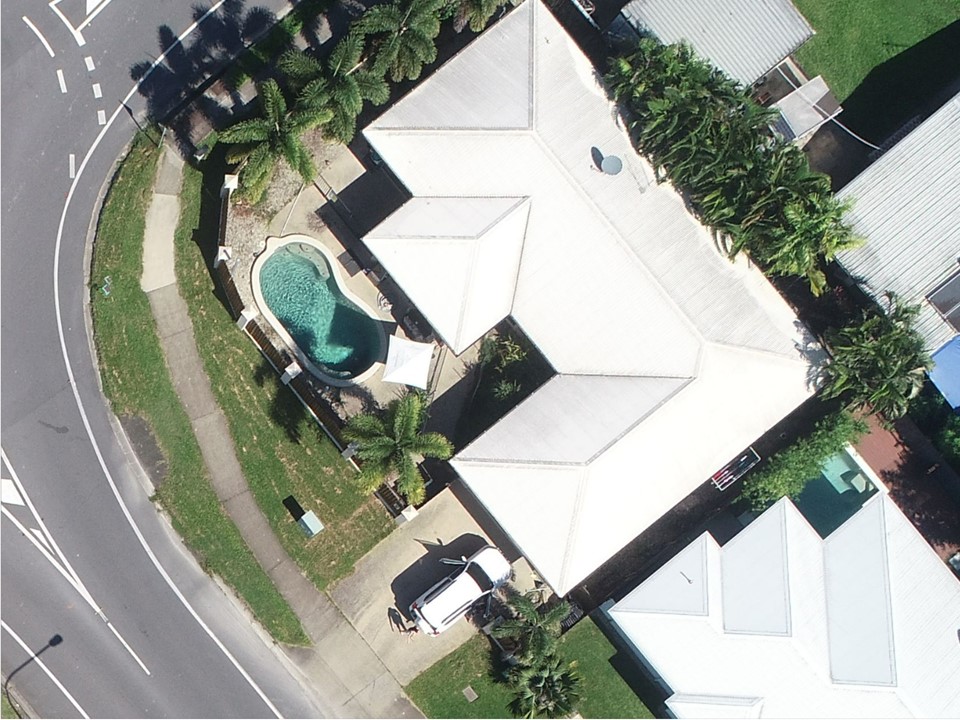

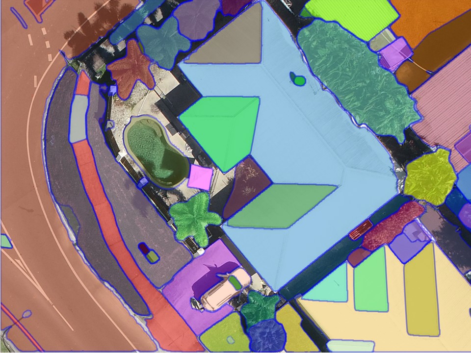
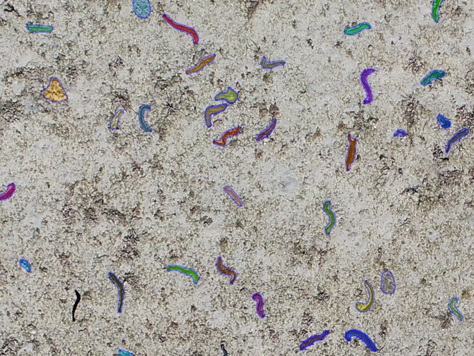 Image segments
 Original images

 Segmented image
Original image
Segmented image
Original image
Image segments
Original images
Segmented image
Original image
Segmented image
Original image
Image segments
Original images

