Skip to content
Solutions
Mining teams
Environmental consultants
Government teams
Rangers
Drone pilots
For consultants
Pricing
Solutions
Mining teams
Environmental consultants
Government teams
Rangers
Drone pilots
For consultants
Pricing
Log in
Book a demo
We help environmental teams make better decisions
Log in
Book a demo
Main Menu
Solutions
Mining teams
Environmental consultants
Government teams
Rangers
Drone pilots
For consultants
Pricing
Subscribe for regular
insights & updates
First Name
Email
Subscribe
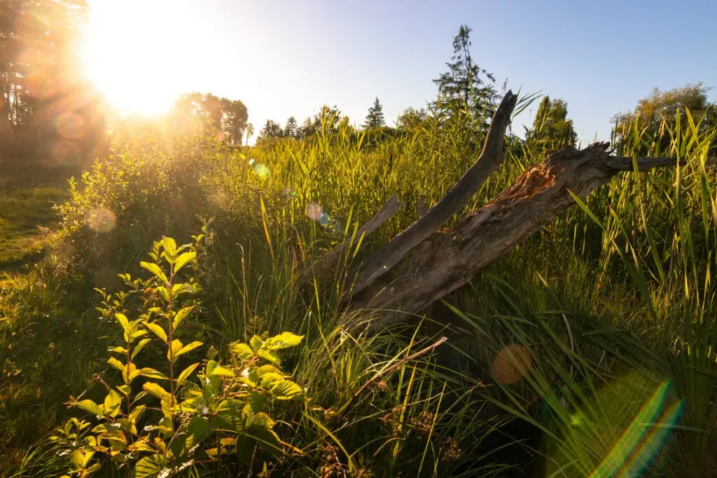
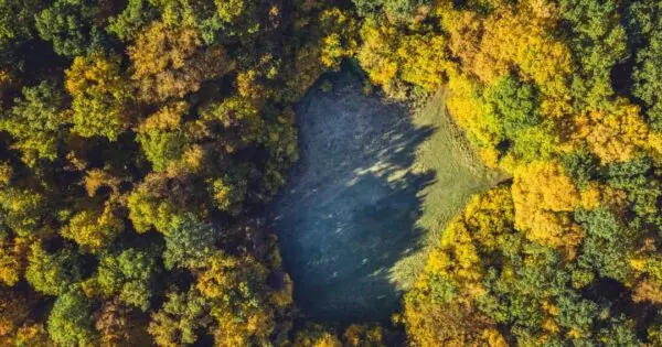
Your rehabilitation management plan is a spatial problem.
Paul Mead
Rehabilitation monitoring beyond annual reports
Dr Karen Joyce
Designing a monitoring hierarchy that actually works
Dr Karen Joyce
Why time is the most undervalued dimension in rehabilitation monitoring
Dr Karen Joyce
Why analogue sites matter in rehabilitation monitoring
Dr Karen Joyce
Stories from above blog
Search for:
Search
Show All
Artificial Intelligence
Case Studies
Drone Data Capture
Drone Data Processing
Drone Mapping Tips & Tricks
Drones in Education
Ecosystems
Featured Collection
Learn and Inspire
Product Updates
Show All
Show All
Artificial Intelligence
Case Studies
Drone Data Capture
Drone Data Processing
Drone Mapping Tips & Tricks
Drones in Education
Ecosystems
Featured Collection
Learn and Inspire
Product Updates
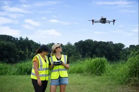
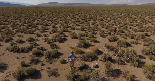
Environmental monitoring and management with drones
Anne Crosby
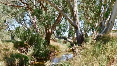
Rangeland management: A remote sensing perspective
Anne Crosby
Drone image dataset (Best Tips to Upload a dataset)
Anne Crosby
Drone surveying: The new go-to for measuring elevation
Anne Crosby
Types of environmental sensors for drones
Anne Crosby
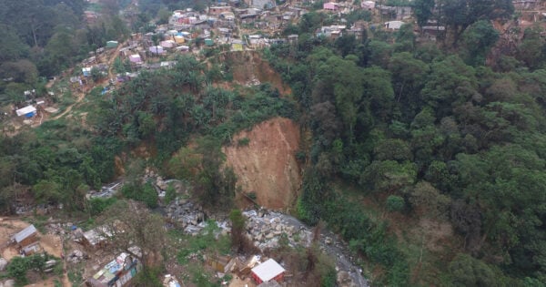
How drones are improving landslide risk management in Brazil
Anne Crosby
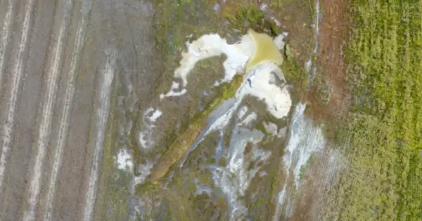
Dryland salinity and drones: Managing salinisation in WA
Anne Crosby
What is photogrammetry?
Guest Author
Mapmaking made easy: Introducing the create feature
Anne Crosby
Understanding the cycles of coastal lakes and lagoons
Anne Crosby
Fixed-wing vs multirotor drones: Which is better?
Anne Crosby
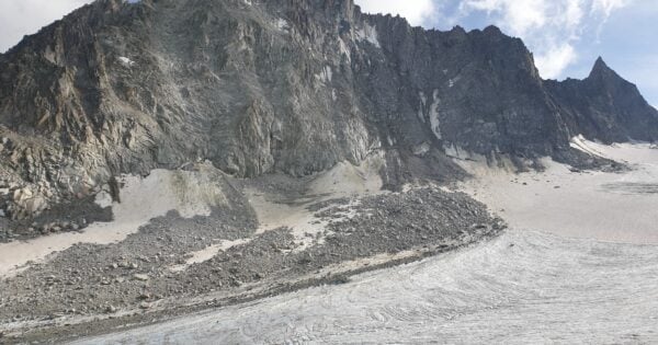
Rivers of ice: Using drones to understand glaciers
Anne Crosby
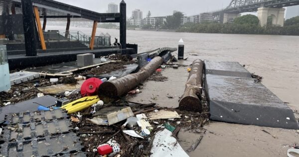
How are drones used in flooding management?
Anne Crosby
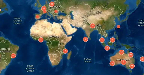
Open Data: there’s no such thing as free
Dr Karen Joyce
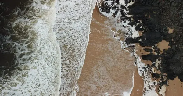
The lost oyster reefs of eastern Australia
Anne Crosby
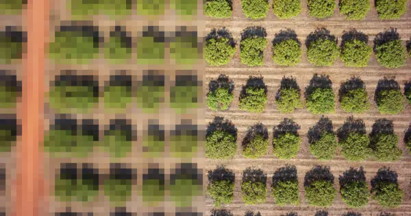
What is the resolution of drone mapping?
Dr Karen Joyce
Drones Used for Research: A Grad Student’s Perspective
Guest Author
How can I get ground control in a marine environment?
Dr Karen Joyce
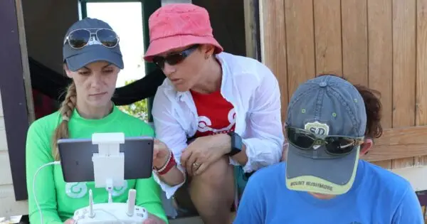
Ten Tips for Catching a Drone Safely with your Hands.
Dr Karen Joyce
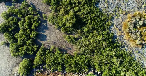
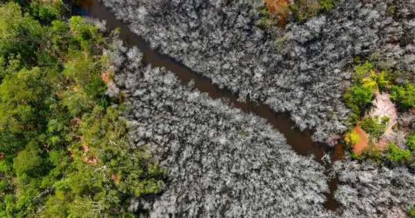
Earth observation data reveals the when and where of mangrove dieback
Dr Karen Joyce
Calling drone pilots help map the sea cucumbers population
Dr Karen Joyce
How to Map With a Drone (Top 10 Tips)
Dr Karen Joyce
Drone Pilots Reinvent Themselves as Mother Earth’s Paparazzi
Dr Karen Joyce
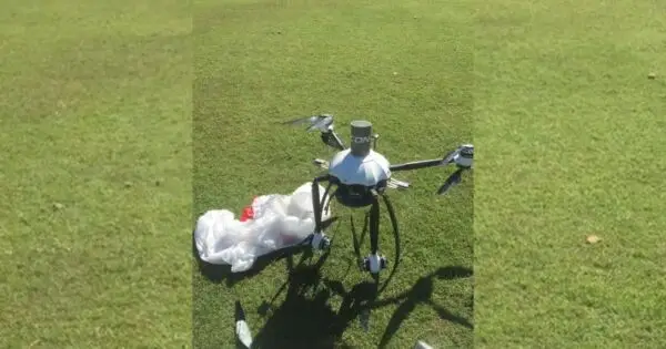
Let’s Talk About Drone Crashes
Dr Karen Joyce
Drone data…don’t lose it, use it!
Dr Karen Joyce
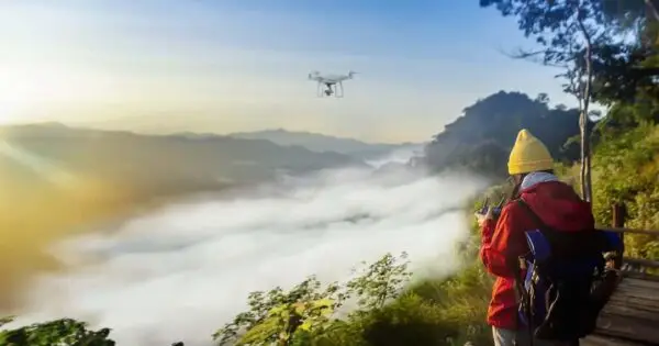
How to figure out the optimal drone flying height for mapping!
Dr Karen Joyce
What is an Orthomosaic?
Dr Karen Joyce
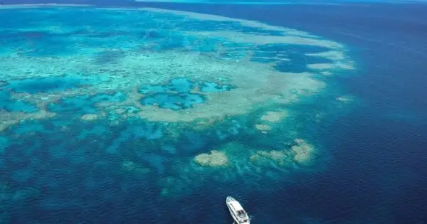
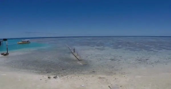
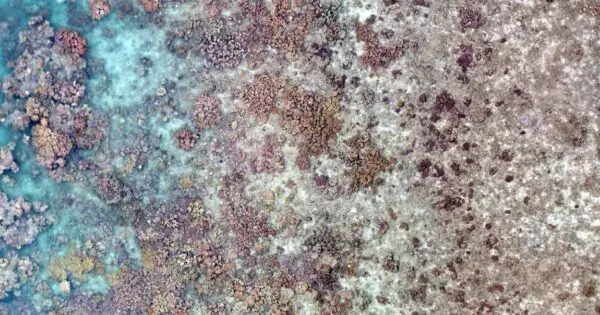
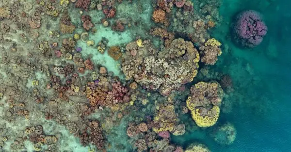
Spectacular drone mapping on the Great Barrier Reef to find live coral
Dr Karen Joyce
Up and away! The best time for drone mapping
Dr Karen Joyce
Drone Surveying Equipment – What to pack when going on a family holiday.
Dr Karen Joyce
How Artificial Intelligence helps make drone image processing smarter
Joan Li
Machine Learning Drones: 3 valuable concepts you need to know
Joan Li
(Fantome Island) Before quarantine hotels there were leprosariums
Dr Karen Joyce
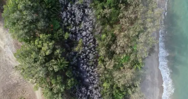
Catastrophic fires a high price to pay to reduce dust
Dr Karen Joyce
Using Drone Data to understand Clam Reefs
Dr Karen Joyce
Moo alert! We want to create an outstanding pasture for out standing cows!
Joan Li