
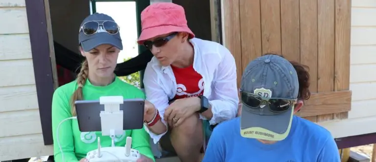
How to map with a drone: I know that lots of people love flying drones, but I’m not one of them! Yet what I do love is the #earthobservation data that I can capture with my drone.
I’ve been working with remote sensing data since the late 1990’s and know full well that not all data is good data. It takes time and effort to make sure we capture our data in ways that are conducive to how we wish to process them, and will allow us to extract real information.
In the fitness industry we have a saying – you can’t out-exercise a bad diet. In other words, exercise is never enough unless you get the nutrition right in the first place. I like to apply this to drone data capture – you can’t out-process bad data! So the key is to capture ‘good’ data in the first place and you’ll save yourself a lot of headaches in the processing stage.
I can also honestly say that in the past seven years of ongoing learning about how to capture ‘good’ drone data, I’ve also captured my fair share of ‘bad’ stuff :). This obviously can become really expensive! But the upside of this is that you don’t need to make the same mistakes, because I’ve generously made them for you…
So here are my top 10 tips for capturing ‘good’ drone mapping data:
1. Safety First
Make sure that you follow your local regulations and do the appropriate safety checks with your equipment.
2. Choose a good mission planning app
this will depend on the type of drone you are flying, and the device you would like to use for planning. I like using (a) Drone Deploy as I can plan on desktop, iOS, or Android (b) DJI GS Pro, but this is only on iOS unfortunately; or (c) Pix4D Capture – this one’s good as there are some non-DJI options as well, and can be on iOS or Android.
3. Plan to cover an area larger than you actually need
When we orthomosaic images together, the edges of the composite can be a little dodgy. So don’t let your important features be right on the edge of your coverage.
4. Fly at least three parallel lines in a single grid (not a cross grid).
Multiple flight lines is important to get the full coverage of your area with sidelap (overlap between flightlines). I know that some people prefer cross grid, but I’ve always found that not only does it double the amount of flight time required to cover an area (i.e. less total area covered), the final product doesn’t work out so well.
5. Choose your altitude carefully.
There is a tendency for people to want to fly higher and cover larger areas, but there is no point in doing this if what you want to observe can no longer be detected. You should first determine the size of the smallest feature you need to detect, and then divide that by ten. This will give you your required pixel size. With a revisit to high school trigonometry, you can then use this to calculate the altitude required to achieve that pixel size. Here’s the explainer video…
6. Be generous with overlap and sidelap.
The software used to orthomosaic (stitch together) your images and create 3D models requires high levels over overlap to match photos together. The center of every photo is also the least distorted component, so the high overlap allows the algorithms to favour these areas. While it is a little environment dependent, I recommend using 80% overlap and 80% sidelap to start with as it’s easy to remember!
7. Keep your drone camera at nadir
Make sure that your camera is set to point directly down! Unless of course you want a map of the horizon 🙂
8. Timing matters
I recommend capturing data around the middle of the day in terrestrial environments to minimise shadow. But if you have any water in your area at all, stay away from the middle of the day! Otherwise you’ll end up with a nasty reflection of the sun right in the middle of the best part of your photo. I therefore recommend around 10am or 2pm if there is water. This will depend on location and how many daylight hours you have – the earlier in the morning or later in the afternoon you can stretch it the better, but there will come a time when the light is inadequate, so keep an eye on that.
9. Use a fast SD card, and change between flights.
The microSD cards are pretty cheap, so keep a good stash of them. That way if you happen to lose your drone, you don’t lose and entire days’ worth of data.
10. Know how to cancel the mission in-flight!
There are many reasons why you may want to call the drone home early. Check your app, device, and drone for how to do this safely.
If you’d like to contribute your data to a global repository using drones for protecting at-risk ecosystems, please visit GeoNadir
Keen to learn more about Drone Mapping? Have a look at my online training.

