Drones and their data processing software continue to evolve. As they do, we discover new ways to collect and process data. As the storyteller for GeoNadir, I’ve had the opportunity to talk to lots of amazing people who work with drones. This week, I spoke to Dr Jeff Gillan from the University of Arizona. He’s a scientist who has spent much of his career exploring the applications of evolving drone technologies in rangeland management.
And although some things still need field work, he’s found drones can offer a world of new perspectives.
The rangelands of the USA
Any area where native vegetation is predominantly grass, shrubs, or other plants suitable for grazing use is considered rangeland. Rangeland systems cover over 30% of the total land area in the USA. Unsurprisingly, the value of these ecosystems for grazing means they have often been used to feed livestock like cattle. But the long-term impact of mismanaged grazing has caused considerable damage to these ecosystems.
Maintaining the economic value of the rangelands while supporting their recovery from degradation is no mean feat. To help the rangelands recover, we have to find better ways to manage grazing. But to do that we have to know what is and isn’t working in the first place. And that means figuring out how to monitor this massive system.
Jeff’s work has been dedicated to figuring out how drones can help tackle this mammoth task.
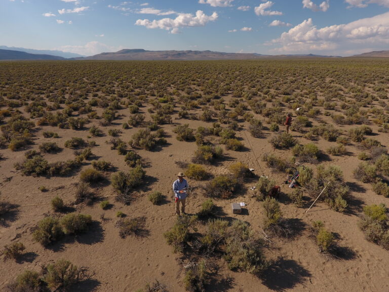
Getting a grasp on 770 million acres of rangeland management
When Jeff first joined the US Department of Agriculture in 2011, it was just beginning to explore the value of aerial imagery. How could it support rangeland management?
“All these explorations were about: ‘Can we measure vegetation and soil characteristics on rangelands in a way that is typically done through field measurements?’ And what kind of advantages could we get from doing it in the air?” Jeff said.
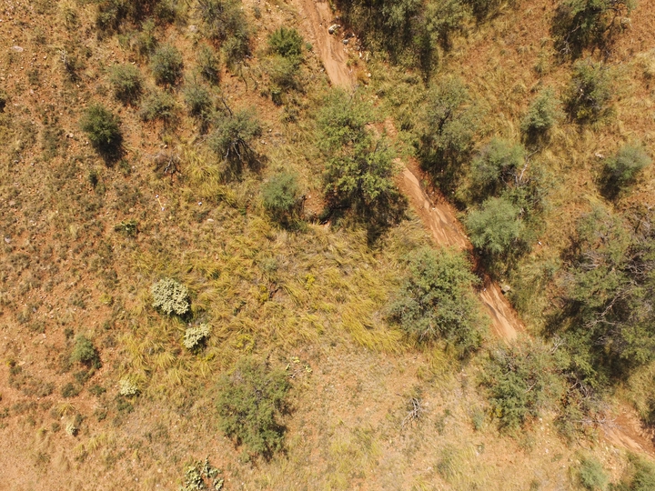
It’s always challenging to collect enough data in the field for monitoring, especially over large areas. Field work is time-consuming, can take a lot of manpower and usually only measures a tiny fraction of an area of interest. It becomes even trickier when landscapes vary a lot, like rangelands often do. How do you make sure that the areas you’ve measured actually represent what’s happening in the wider landscape?
Jeff and his colleagues found that drones could easily collect data that was traditionally collected in the field. Plus, drones collected data on a larger scale than field work.
“We went through all these different vegetation characteristics typically done from field measurements and demonstrated that we could do them from the air,” he said.
“We can measure in three dimensions, we can measure the heights of shrubs, we can measure the heights of grass, we can measure soil erosion, we can measure forage utilization, canopy gaps, you name it…”

A comparison of two time-series 3D point clouds created using drone photogrammetry. Red indicates vegetation that has been grazed since the previous drone flight. Source: Jeff Gillan
But how does all this data translate to better rangeland management?
The basics of rangeland management: Monitoring and inventories
All of this data feeds in to establish inventories and monitor rangelands. To manage rangelands effectively for both the environment and grazing, you have to know what resources are there. In the case of rangeland management, the resource is vegetation. Vegetation is what cattle and other livestock graze on and it’s diverse and healthy vegetation that supports unique rangeland ecosystems. Inventories are an assessment of what vegetation resources are available. Then this information helps managers decide when and where rangelands need intervention.
Monitoring is how you check if your management strategy is working as you want it to.
“Monitoring is having a management objective in mind, like “we would like to increase the total content or total cover of herbaceous grasses in this pasture,” Jeff said. “That’s our objective, so now we’re going to collect data systematically over time to see if we meet that objective or not.”
“It’s the feedback loop link that says “ok, what we’re doing is working, let’s keep doing that” or “No actually, things are going the wrong way, so let’s change course and try something else.”
What drones can offer
The big advantage of drones offer in rangeland management is the scale and resolution of data they provide.
“Drones give you this unique, interesting, and relatively cheap way to collect data information on a different scale then what was possible before. Before for a long time, you could collect field data, or you could collect aeroplane or satellite data. And those are very different scales. Drones were kind of a mid-scale between field and aeroplanes and that’s why I became interested,” Jeff said.
But it’s not just scale where drones have added value to rangeland monitoring. They also allow the capture of information that just isn’t possible from the field.
“Let’s say you’re looking over a 10-acre area,” Jeff said. “Tell me how much connectivity of bare ground there is. That’d be something very difficult to do with field measurements.”
Other variables, like vegetation structure, are also much easier to measure using photogrammetry or LiDAR from drones than field measurements.
“It has opened up doors to see the landscape and resources in ways that could not be seen before,” Jeff said.
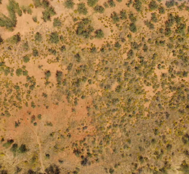 Post-graze
 Pre-graze
Drone imagery showing pre- and post-graze vegetation coverage in rangelands in Arizona, USA.
So are drones the end of fieldwork for rangeland management?
To the relief of field ecologists everywhere, no.
“It’s information addition…drones aren’t going to necessarily replace a lot of what is done in the field. In some cases, it can replace some, but you’re looking at the land from a different scale. I can’t tell you the precise species of grass from a drone, but I can tell you a general category of grass over a much larger area,” Jeff said.
“It still helps to have an experienced field ecologist with a calibrated eye-ball that knows how to read the land and knows what to look for. And a lot of range management is still an art form and as much as we try to quantify everything, make it a pure quantitative science, remote sensing is never going to totally replace someone who is knowledgeable about the land,” he said.
“You can take the information that you learn from drones and the information you learn from field measurements and combine them. It’s not one or the other, they’re usually complementary to one another”
Check out the datasets on GeoNadir
You can check out all the different rangeland management datasets Jeff Gillan has uploaded on GeoNadir, plus many other amazing places that users have uploaded from all over the world.
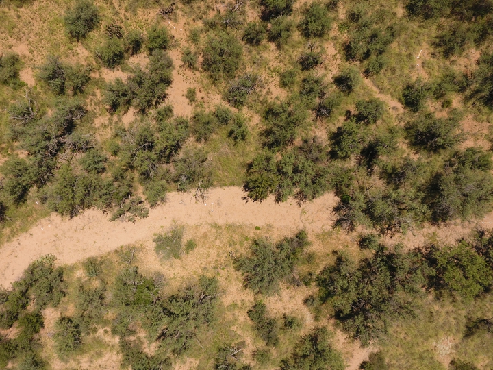
Got your own drone mapping missions tucked away on a hard drive? Upload them to GeoNadir! You get secure storage, automatically generated orthomosaics, plus it means others can learn from your work!
Want to learn more about drones in rangeland management?
The following are some of the papers that Jeff and his colleagues have published from their research:
- Gillan, J.K., McClaran, M.P., Swetnam, T.L. and Heilman, P. (2019). Estimating Forage Utilization with Drone-Based Photogrammetric Point Clouds. Rangeland Ecology & Management, 72(4), pp.575–585. doi:10.1016/j.rama.2019.02.009.
Gillan, J.K., Ponce‐Campos, G.E., Swetnam, T.L., Gorlier, A., Heilman, P. and McClaran, M.P. (2021). Innovations to expand drone data collection and analysis for rangeland monitoring. Ecosphere, 12(7). doi:10.1002/ecs2.3649.
Gillan, J.K., Karl, J.W. and van Leeuwen, W.J.D. (2020). Integrating drone imagery with existing rangeland monitoring programs. Environmental Monitoring and Assessment, 192(5). doi:10.1007/s10661-020-8216-3.

