

By combining AI with drone image processing, we can pinpoint the exact geographical location on earth in an efficient and consistent manner.
If you search “AI”, there are more than four trillion results in Google. If you search for “AI” in news, there is a piece released almost every hour about this topic. Artificial Intelligence (AI) is truly a ubiquitous word these days. Some are even asking “What can’t AI do?”.
The terms of AI are overwhelming. To list a few, machine learning, deep learning, classification, drone image processing, object detection, computer vision. When people talk about it, what they often refer to as AI is simply one subset of it. Today, let’s have a look at what AI means for drones.
To brush up our memory a little bit, AI is not just algorithms. It’s a simulation of human intelligence processes by machines, especially computer systems. Three major factors are contributing to the development of AI: the computational power, the availability of data, and the algorithm. In the field of the drone industry, it’s self-explanatory that we have extremely easy access to a huge amount of data. Thus, when we talk about AI, we are mainly referring to the applications of models or algorithms.
There are two major aspects of such applications.
First, we are trying to make the drone itself smart.
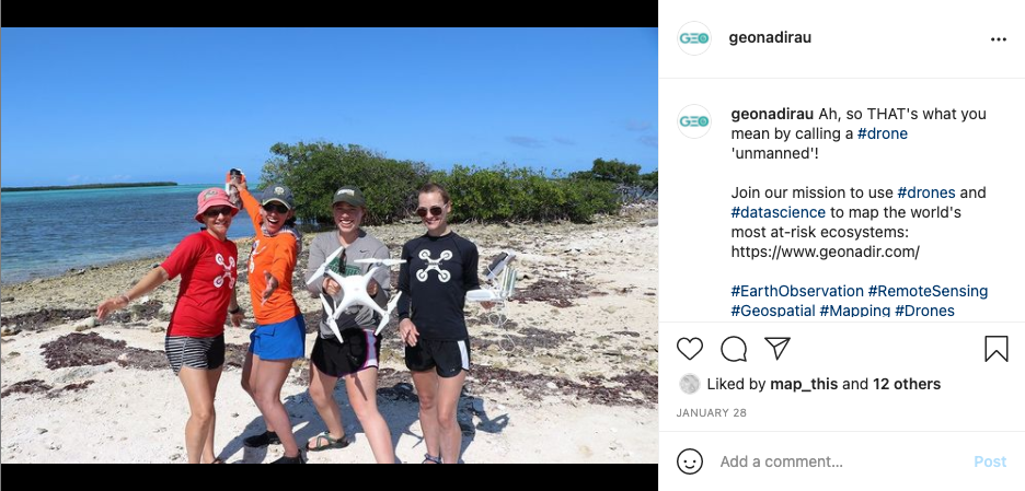
A drone is also called UAV, which is short for Unoccupied Aerial Vehicles. Here we prefer to use “unoccupied” instead of “unmanned” is not only because not just women and other non-binary genders flying drones (or is it?! just like the image below), but it is also wrong to say it’s “unmanned” technically. There are still humans out there controlling the drone, just not occupying the vehicle.
However, AI is involved here to minimize the interaction between drones and Homo sapiens. The chips can process the data from the sensors to detect obstacles, avoid collisions, perform real-time tracking, etc. A month ago, an AI-controlled drone racer has beaten human pilots for the first time.
There are still limitations. The computing power a drone can supply is very restricted. It takes an hour to plan a few minutes. But it shows the gateway that can lead to faster search and rescue, air taxis and parcel deliveries in the future.
Second, AI is to make drone image processing smarter.
This is also what we are aiming for here in GeoNadir. It starts from computer vision, which is an interdisciplinary field that copes with how computers can gain high-level understanding from digital images and videos. The classic problem is to determine whether or not the images contain our target of interest. It can then be categorised as object recognition (AKA classification), or object detection.
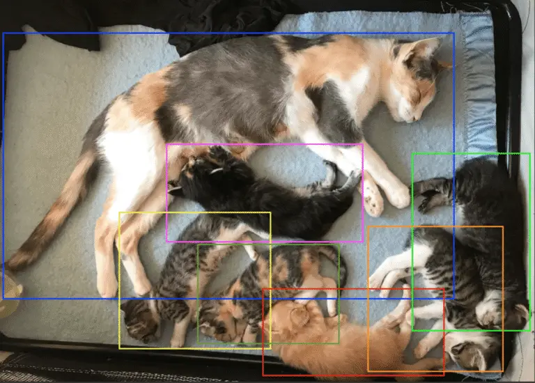
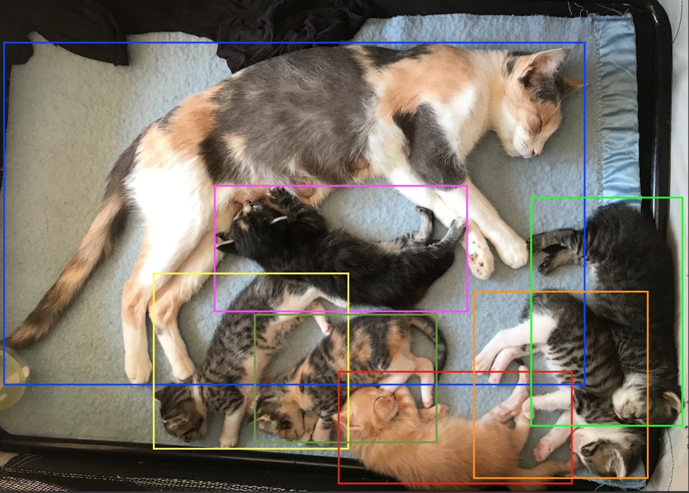
Recognition is trying to answer a yes or no question, like “yes, there are cats in this image”.

Detection, on the other hand, combines the location information. It tells you not only whether the image has a cat in it or not, but also where the cats are in the image.
By combining AI with drone data, we can pinpoint the exact geographical location on earth in an efficient and consistent manner.
There is no doubt that AI helps to unveil the potential of drones from all aspects. When we talk about AI, make sure you know what exactly you are looking for. It is not always that easy to Google.

