
Drones used for research: My name is Valerie and I am currently a PhD student at James Cook University. My project consists of modelling coral bleaching predictions and therefore, it fundamentally requires spending a lot of time in front of a computer. Although coding may not necessarily be every marine biologist’s favourite part of research, I’ve grown to thoroughly enjoy my hours spent problem-solving in front of a screen, despite the frequent challenges. Because most of my work is done using a computer, it also means that I do not actually spend much time out in the field. Without fully realising it, I had found myself tackling most of my work very objectively, often looking at problems simply through their meaning in code. A slight disconnect had been growing between my passion for the ocean and the research I was doing.
A Citizen Science Effort
I was recently invited to join Citizens of the Great Barrier Reef on their Reef Women expedition for the Great Reef Census. It aimed to survey a range of reefs including all of the Ribbon reefs on the Northern Great Barrier Reef (GBR), but also a handful of mid-shelf reefs. Through a citizen science effort, pictures taken of substrate cover on each reef are added to an online databank to help guide the management effort of conservation agencies of the reef.
There is an urgent need for an effort such as this due to the limitation in spread of data collected across the GBR. Less than 10% of the reef is regularly surveyed, with some areas having little to no data available at all. The continuous monitoring of these reefs is vital, particularly in light of worsening climate change and reef degradation, as effective distribution of resources needs to be backed by up-to-date information, preferably alongside previous historical data to better understand degradation rates and susceptibility to stressors.

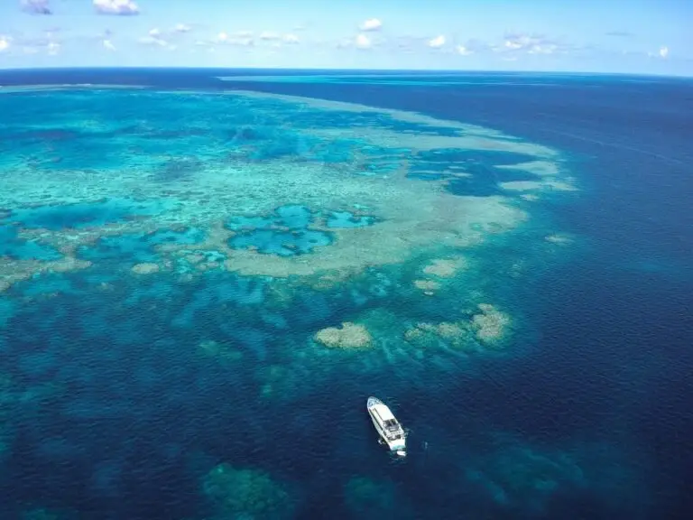
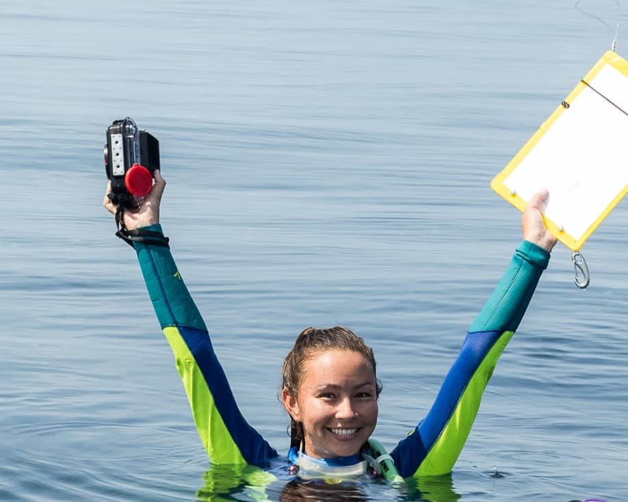
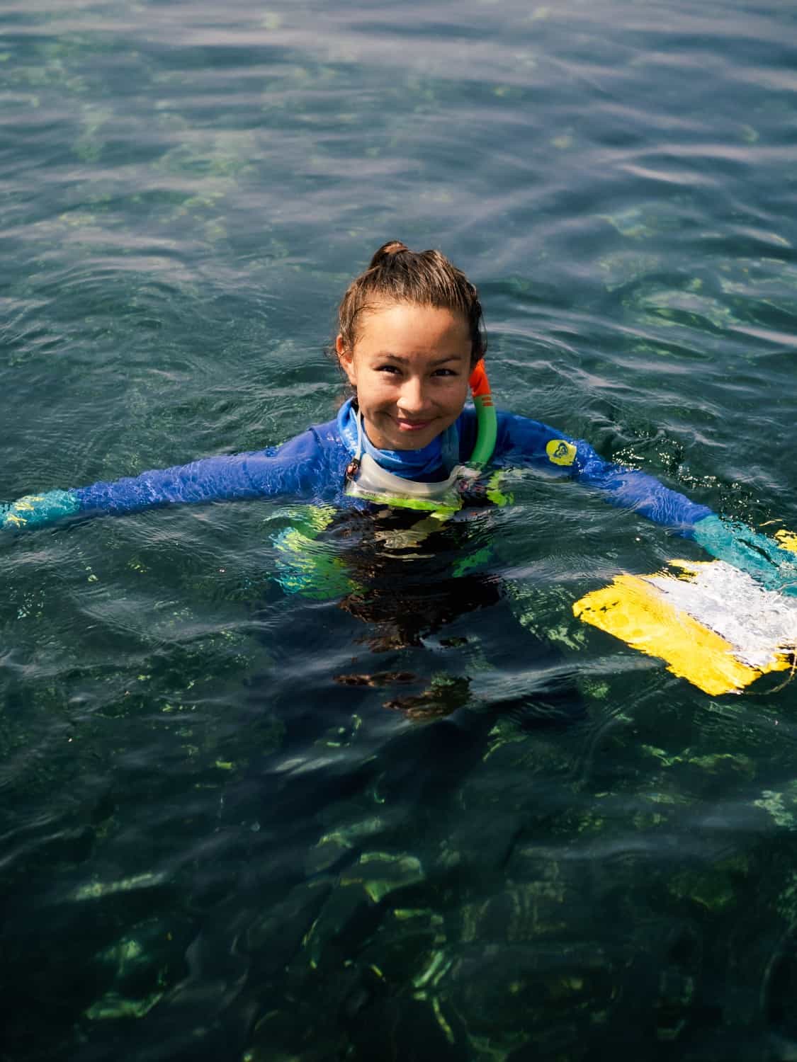
The choice in reefs targeted for conservation efforts can then be supported by in-water imagery and remote sensing efforts. In-water imagery helps in giving an indication of the marine life abundance and coral (and other substrates) cover. Remote sensing offers broader scale estimations of substrate cover and reef connectivity, whilst opening doors for the facilitation of identifying key marine animals. Over the course of the week surveying the reef, we combined both in-water surveys and remote sensing techniques using drones to provide data to the current data bank, but also to compare the different methods being used.
The Wonders of the Ribbon Reefs
The trip itself blessed us with everything ranging from beautiful gardens of healthy plated corals, to curious sharks, mating turtles, and a pod of over 50 dolphins. We targeted reefs based on whether a lack of data existed concerning their reef health and biodiversity. This meant that we saw some beautiful, untouched reefs, but also reefs that were merely a coral graveyard.
With tourism operators targeting these pristine reefs, it is easy to disassociate with the knowledge of reef degradation due to bleaching and cyclones. Being able to see the range in health across the reef reinforced the drive I had that initially pushed me to go into marine research.
Drones used for research, Learning from One Another
Not only did this trip help me immerse myself back into my “natural habitat”, it also led to my meeting a variety of inspirational women from various backgrounds. On board, we had a mix of marine park rangers, photographers, scientists, students, reef guides, and dive instructors, all of whom had a passion for the reef and its conservation. We all had one shared goal, but with differences in specific interests and lines of work.
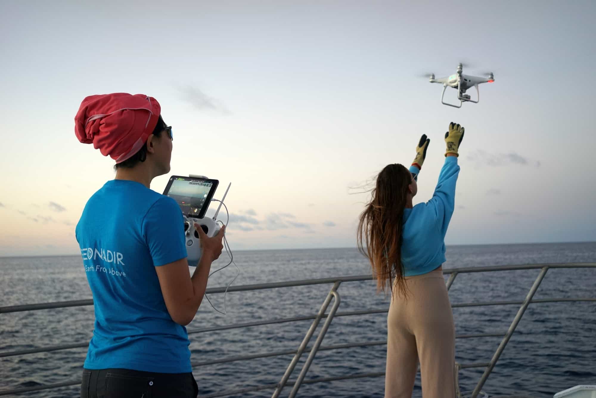
This led to valuable connections being made and interesting conversations being had, where everyone brought different perspectives to the table and helped in teaching one another new skills. I was able to take my recreational drone flying skills and develop them through learning drone flight planning for research, as well getting tips for underwater photography, and improving my sea cucumber (amongst other creatures) identification abilities, just to name a few of these new skills (photo below by Harriet Spark from Grumpy Turtle Creative).
Playing with Drones… but for Research This Time!
Over the past few years, drones have held a special place in my heart, having bought a DJI Spark for recreational photography. Towards the end of my postgraduate Masters degree, I focused on the field of remote sensing, and directed my research towards drone-collected data. Using data collected by a drone helped broaden my expectations of drone applications and its effectiveness and advantages in different settings. This only deepened my interest for drones and highlighted the need to go out in the field and collect data with drones myself. This is why the drone mapping component of the reef census was what I was most excited for.
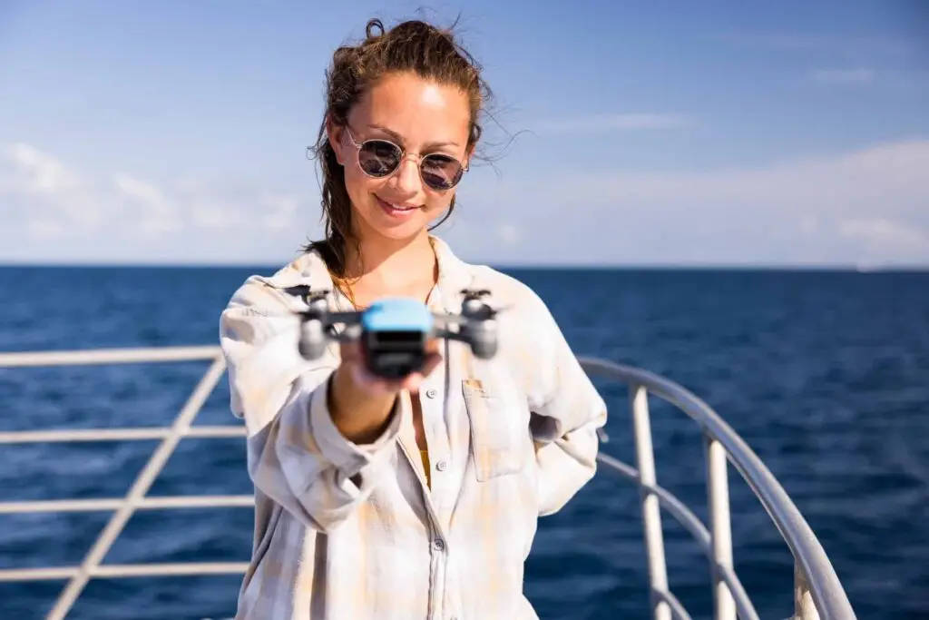
Prior to the trip, half a dozen of the women from the trip met up to learn how to safely fly different types of drones. Together, we took turns undertaking each drone skill, practicing to pilot or copilot the drone, learning to take off and land, follow the drone by sight and keep an eye out for potential dangers, such as low battery warnings and potential obstacles. These sessions helped give us the knowledge to help in flying the drone off the boat (which presented a few extra difficulties!) and we were all quick to point out the slight anxiety that came with each flight, despite feeling prepared.
Land Ahoy!
Coming back to land after such an eventful week, I feel like I am walking away with a reignited drive towards my work, a set of newfound friends that have helped reignite this drive, and a set of new skills that will hopefully help me in months or years to come with my research. I look back and am proud of the achievements of the team, which reached (and exceeded!) all of our set goals and targets during the trip:
- 6 days
- 45 reefs surveyed
- 120 sites surveyed
- And 15 inspiring women on a boat
Reflecting back on this, I believe it is always important to feel that slight bit of anxiety, as long as we can recognise that it is not stemmed from ignorance. Flying drones can be dangerous and reckless planning can easily lead to the loss of equipment or injury. That feeling therefore keeps us in check and avoids overconfidence in flying drones. Although I had previously realised this flying my own DJI Spark, this was only highlighted in the field, with important research and expensive equipment at stake. Looking to the future, I’ll take these skills I have learnt to apply them to my own research for my PhD in the field, with potential for collecting drone imagery to study coral bleaching detection.
We nearly doubled the number of sites that we set out to survey. I think that’s a pretty impressive feat. Just look at how much 15 women can achieve when sent out to the reef to get the job done (photo by Harriet Spark from Grumpy Turtle Creative)!
My passion is everything and anything corals, which is why I’ve currently set out to study them over the next three years for my PhD. I’ve combined this passion with my keen interest in modelling and remote sensing, to design my current plan of action to better understand the effect of temperature variations throughout history on predicting coral bleaching. From my work to my hobbies, which include photography and diving, I draw my inspiration from the ocean. I guess that’s why it’s not a big surprise I’ve dedicated my life to keeping it healthy, is it?
Connect with Valerie Cornet

