
Mother Earth’s Paparazzi is a term used to describe drone enthusiasts who capture images of mother earth to help protect at-risk ecosystems.
Over the past seven years, I have captured tens of thousands of beautiful drone images. But I don’t consider myself a skilled photographer – I’m simply lucky that my subject is stunning! And while many photographers around the world may compete to take the prettiest or most beautiful photo, I’m adament that this is not what I do. I even go so far as to say that these are not just photos, but data – a word that many would agree is far from pretty!
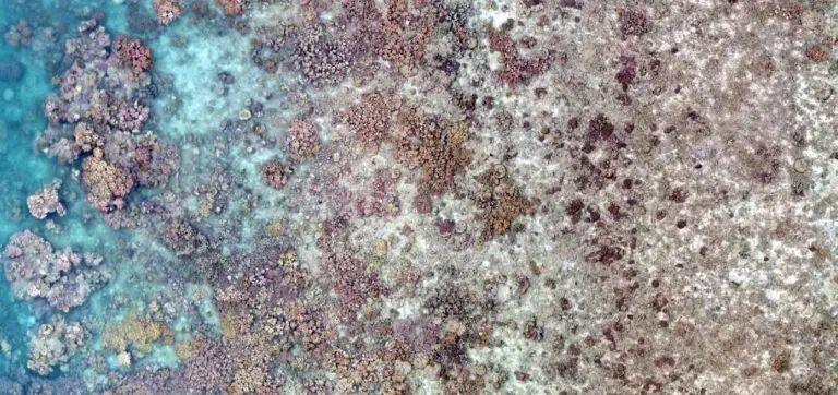
Drone data has considerable value to me. I use it to tell stories of the environment, and how it changes over time. Take the Great Barrier Reef for example. I can use drones to estimate the amount of live coral cover on a reef, like in the image from SW Yanooa Reef in the header of this article. In time as I revisit a location, I can then document how it changes.
Drones are great for assessing relatively small areas in the environment, but it would take every clear-weather day of my life flying a drone and I would still never cover all the sites I wish to see. So I’m calling on global networks to help me out.
There are hundreds of thousands of registered drone pilots around the world! What if we all contributed to a common goal of creating the most highly detailed map ever possible for Mother Earth? What if local communities were able to capture the stories of their land and sea country from their drones, and make a difference on a global scale? What could we learn from observing imagery around the world, outside our own bubble? And what if these valuable snapshots in time and through time were part of a central library to which anyone could contribute, and anyone could view?
I’ve sat with these questions for several years now and am convinced that to write the ultimate biography for Mother Earth, we need all hands on deck. Or all drones in the sky as the case may be! I’ve created the library to keep secure our albums and named it GeoNadir – literally meaning the earth viewed from directly above. Now it’s time for Mother Earth’s Paparazzi to get to work.
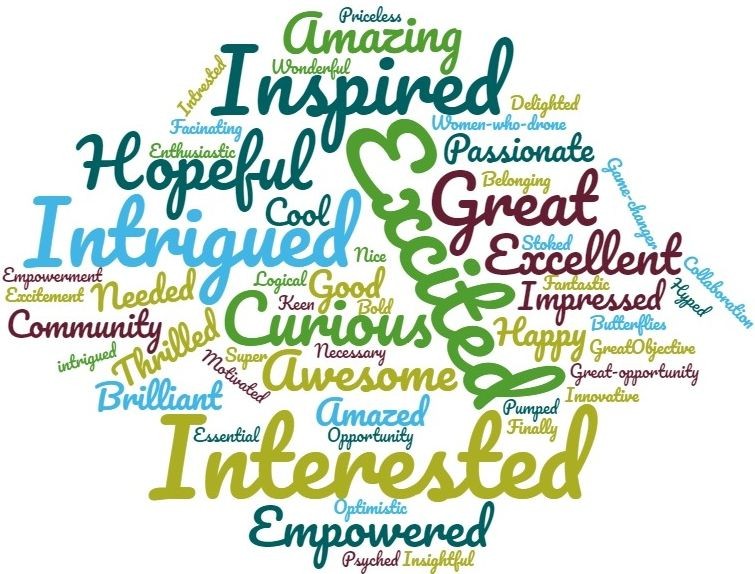
GeoNadir is a growing network of drone pilots, scientists, and country managers from 49 countries who are committed to protecting our at-risk ecosystems. I asked the community for one word about how they felt joinng in – that’s the word cloud you see to the right.
We have just one request – with every time you fly your drone, just take one extra battery and run a mapping mission. In less than 30 minutes, you can contribute to a global cause while doing something you love. Find out more about how to contribute here: https://www.geonadir.com/drone-pilots
We already have more than 30,000 images on the GeoNadir platform. Launch into our data and check it out!
To take a drone mapping course with me, check out https://education.shemaps.com/dronemapping

