Case Studies
How Thermal Vision uses GeoNadir to create insights with thermal data
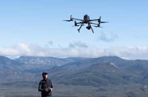
With the recent introduction to the market of the Mavic 3 Enterprise drones by DJI, we have seen more users uploading thermal data from the Mavic 3 Thermal drone to GeoNadir. Thermal data is not the easiest data to capture from a drone mapping mission, and this case study gives some insights into how to