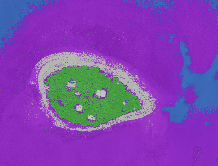
In the midst of preparing for an impending weather event, the urgency of readiness becomes a focal point. It’s not just about sandbagging or securing property—it’s also about data readiness.
Our recent webinar on remote sensing and drone mapping in disaster management touched upon this critical aspect. Let’s delve deeper into how remote sensing, encompassing both drone and satellite data, intertwines with the disaster management cycle across its stages: reduction, readiness, response, and recovery.
Contents
What is the disaster management cycle?
Often, when we think of disaster management, our minds drift to the response phase—the moment when first responders heroically step in. That’s the phase that garners headlines, the phase people are acutely aware of. However, disaster management isn’t a singular moment; it’s a continuum, a cycle that encompasses a proactive approach to mitigate risks, handle the crisis, and eventually pave the way for recovery.
The cycle begins with reduction, where the emphasis lies in minimizing the impact of potential disasters. Remote sensing plays a pivotal role here by establishing baseline data. It aids in crafting models crucial for urban planning and implementing interventions that mitigate risks to communities and assets even before a crisis strikes.
Then comes readiness. This phase is marked by imminent warnings and the looming threat of an event or disaster. The efforts and preparations underway during this phase are paramount. They involve leveraging spatial data to forecast, strategize, and prioritize aid, laying the groundwork for an effective response.
Response, often spotlighted in the media, spans from providing immediate aid to the prolonged phase of relief efforts. Here, spatial data becomes instrumental in guiding aid distribution and facilitating informed decision-making for responders.
Finally, recovery—a phase that extends beyond the immediacy of the disaster. It’s a period that could last for days, months, or even years. During recovery, the focus shifts to monitoring and tracking changes, assessing the aftermath, and aiding in reconstruction and rehabilitation efforts. Spatial data are updated during this phase to feed back into reduction and readiness once again.
A case study on data readiness
In December 2023, Tropical Cyclone Jasper threatened the northeastern Australian coast, particularly targeting my local beaches. Foreseeing the potential impact, I aimed to secure the latest, high-resolution coastal data for preparedness.
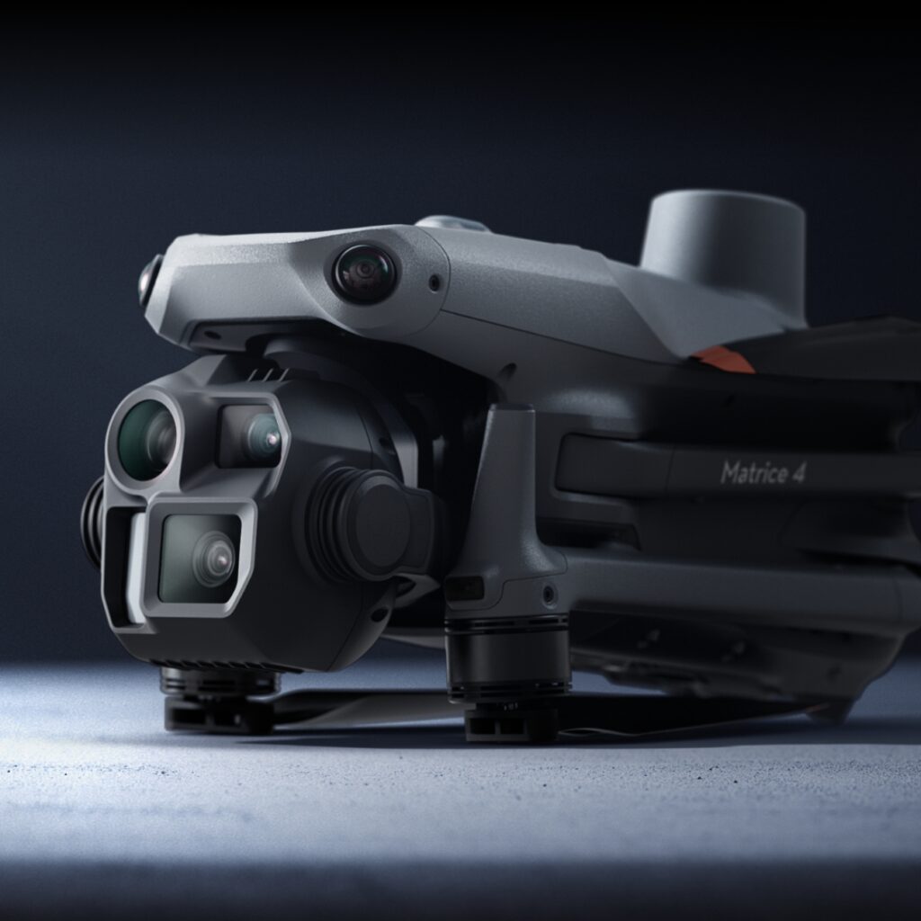
Drones, unlike satellites, granted unmatched adaptability and superior imaging. This flexibility bypassed satellite constraints, enabling precise data capture essential for imminent disasters. I specifically required low-tide data acquisition, even amidst heavy cloud cover.
Certain beaches already faced erosion concerns, underscoring the need for digital elevation models (DEMs) and orthomosaics to track sand fluctuations accurately.
Despite time constraints and specific environmental considerations, I captured data across four local beaches. Leveraging GeoNadir, I processed, organized, and shared this data effortlessly with my colleagues for collaboration.
Subsequently, I revisited these sites post-impact, subjected to severe storm surges and flooding. More details on the outcomes to follow!

The benefit of drones for data readiness
Drones stand out in disaster management due to their distinct advantages:
Independence from satellite constraints: Unlike relying solely on satellites and their providers, drones operate independently, avoiding the uncertainties of satellite data availability during critical moments.
Flexibility in operation: This flexibility becomes invaluable when aligning data capture with specific environmental conditions, such as tides or brief windows between rain showers.
Enhanced detail: Drones capture data at a remarkably high level of detail, enabling precise and comprehensive disaster assessment. This could be useful for professionals like conveyancers, who can assess structural risks, flood exposure, or land stability before a property transaction.
3D mapping capabilities: Their ability to create three-dimensional maps is advantageous, especially in scenarios like erosion, deposition, or landslide assessment.


Challenges with drones
However, there are instances when drones are less effective:
Restrictions amid other aerial operations: Operating drones in disaster zones demands proper permissions and compliance with ongoing aerial operations.
Challenging weather conditions: Drones are hindered by rain and heavy wind, affecting their flight capabilities.
Limitations in coverage: Their operation is confined to the visual line of sight, making it challenging to cover large areas efficiently.
Power dependency: Continuous operation requires power supply for recharging batteries.
Reliance on online services: Processing and storing drone-captured data may necessitate reliable online services, adding an element of dependency.
To learn more about data readiness and drone mapping, watch the replay of our webinar on the same topic below.
Did you enjoy this article? You might also like the following:
- The top ten uses for drone 3D models
- How to make an accurate and useful drone map
- How many GCPs do I need for drone mapping?


