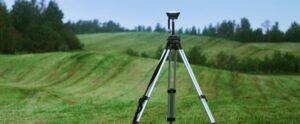
Drone Mapping Tips & Tricks
Ten ways to assess coastal erosion with drone mapping
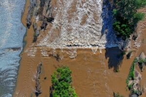
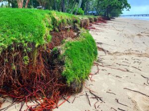
Coastal environments are in constant flux, influenced by tides, storms, and human activity. Understanding these changes is critical for managing coastal erosion, assessing storm impacts, and informing conservation efforts. Drone mapping provides a powerful way to track these changes with high spatial accuracy. In no particular order, here are ten ways you can assess beach