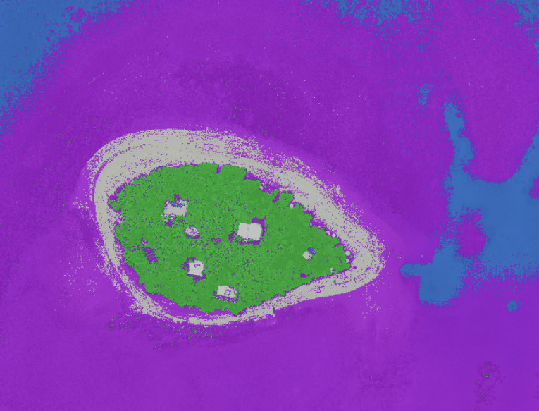
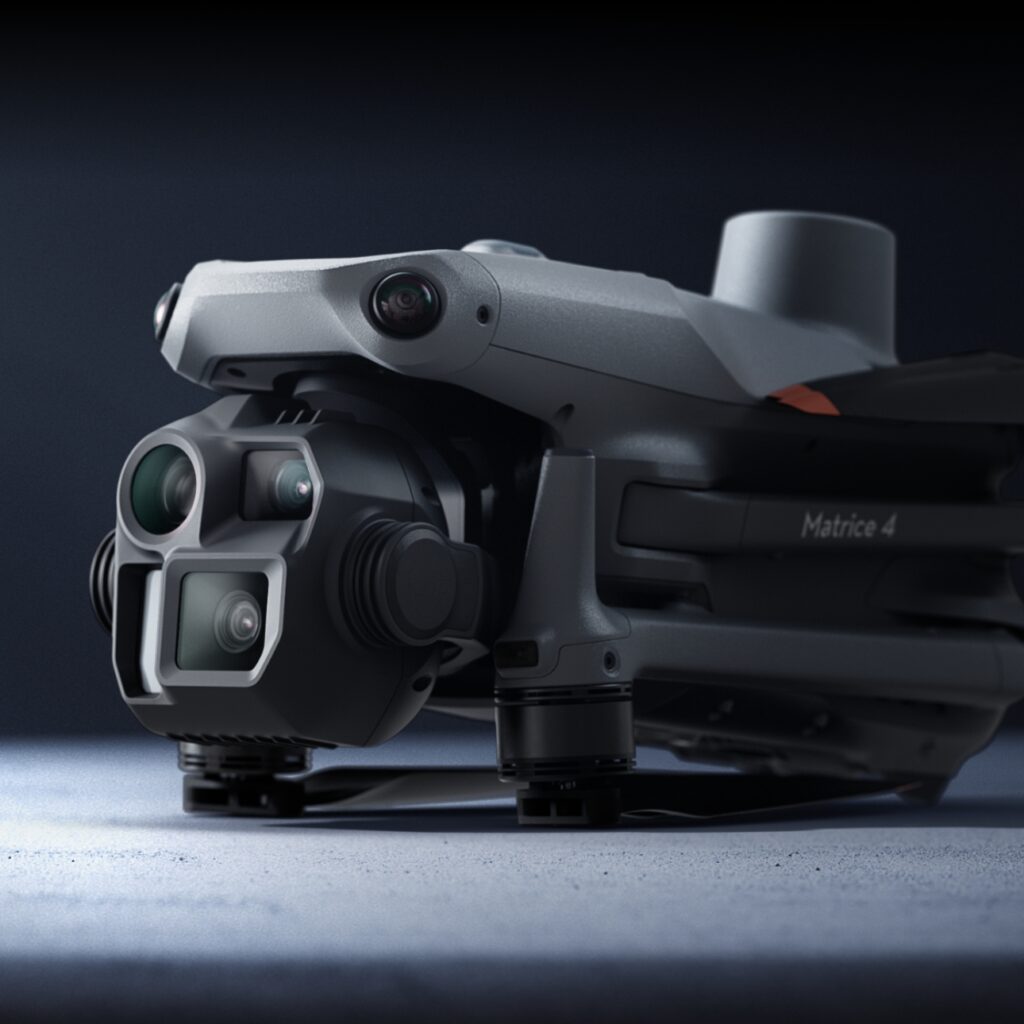
As a remote sensing scientist, mapping is my bread and butter. I have a deep passion for Earth observation data, and I could easily spend all day studying different ecosystems and their changes over time. Integrating drone data into my work for ecosystem analysis over the past decade has been a game changer. While it hasn’t always been easy, it has significantly enhanced my ability to map and monitor the environment. But I’m also an educator, and so I’m driven to share my passion with others. For many years, I’ve been running drone mapping training and providing specialized educational resources. It’s incredibly exciting to collaborate with individuals and teams who are mapping and monitoring their local ecosystems, exploring a whole new world of possibilities. Here’s some of the cool stuff we do.
Contents

Perfecting the basics
When I first started flying drones, it was incredibly stressful. The drones were much bulkier and less intuitive than they are today. Without anyone to guide me, and with YouTube lacking informative content on this relatively new technology, I relied heavily on trial and error. I knew there had to be a better way to help others have a better experience than I did.
I admit that my teaching methods might seem unorthodox compared to traditional training for drone licenses. I begin indoors with microdrones to teach fundamental principles and processes. This also helps people overcome a fear of crashing, while remaining healthily cautious. I incorporate blindfolds and obstacle courses to develop communication skills. Over the years, I have also refined our GeoNadir software for managing, processing, and analyzing drone mapping data to lower the barrier to entry into Earth observation.
Mission planning
More than 95% of my flight time is in autonomous missions, and data capture is a priority. So careful mission planning is critical. Planning a mapping mission is straightforward, but it’s equally easy to make mistakes. The principle of ‘garbage in, garbage out’ applies to drone mapping data; without careful planning and optimal parameters, you risk wasting time and money.
It’s crucial to consider factors like overlap, sidelap, flying height, flight line orientation, number of flight lines, and the area to be covered. Taking the time to plan these elements ensures the quality and accuracy of your data. Our questions of why and what we are mapping drives the decisions we make around these parameters.
Our free e-book covers these topics in detail and is available for download.

Drone mapping training goes beyond flying
The real fun begins with processing the data, and conducting thorough analyses. However, I realized these steps often make drone mapping unnecessarily difficult. While purchasing a drone is easy, unlocking its full mapping potential shouldn’t be hard.
I work with people of all ages and stages, and I’ve found that without proper training in managing, processing, and analyzing data, the technology often goes unused, wasting money and opportunities. Ensuring this doesn’t happen is crucial to me, regardless of the team’s expertise.
For many teams, my training is their first encounter with geospatial technology beyond using Google Maps. So it really is opening up a whole new world of possibilities… and challenges! Even seasoned GIS professionals know that analyzing spatial data often comes with a steep learning curve!
At GeoNadir, our passion is to flatten that curve. We develop tools to extract insights from your drone mapping data, constantly refining them through collaborating with our customers and trainees. Together we watch, listen, and learn. And I promise to increase your confidence and competence!


A look at the data
During drone mapping training, we select sites that are important to the teams being trained. We examine the differences between flying at different altitudes, and explore the value of drone data compared to satellite imagery. The data below captured by the Girringun Aboriginal Rangers over Meunga Creek shows the dynamic nature of this creek mouth, and the additional detail of the drone data.


Beyond visually exploring the orthomosaics, we also look into the digital surface models (DSM) and digital terrain models (DTM), using intuitive tools to extract profiles across the landscape. This is particularly helpful when looking at erosion and deposition in coastal ecosystems. The difference between the DSM and DTM also allows us to estimate tree or building heights.


Consistent drone mapping also allows us to develop artificial intelligence (AI) models to detect, identify, and count features in the environment. In the example below, an algorithm was trained to detect many thousands of seabirds on Michaelmas Cay on the Great Barrier Reef.

There are many more opportunities for using drone derived Earth observation data. The limits really only lie with your imagination! Whether you are working in urban, rural, agricultural, or marine ecosystems, if you have a passion for understanding, managing, and monitoring the environment, geospatial technology is likely a critical part of your portfolio. If you’d like to add drone mapping training into the mix, please get in touch!


