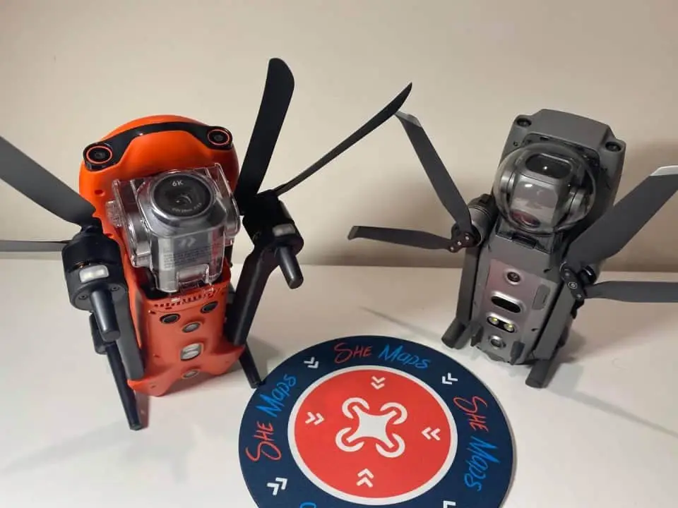
DJI drone comparison: DJI Mavic 2 Pro compared with Autel Evo II Pro
DJI drone comparison: Facing off against each other we have the Autel Evo II Pro and the DJI Mavic 2 Pro… In many ways they are so similar that one might think they have come from the same factory or is it just a case of parallel evolution? Regardless of the intellectual property claims, let’s […]
Moo alert! We want to create an outstanding pasture for out standing cows!
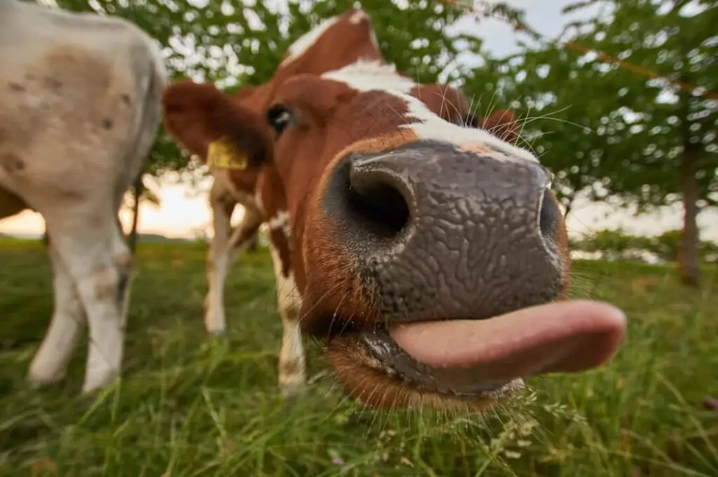
Cattle are definitely one of the rock stars in human history. They have been contributing to our society as draught animals, providing resources such as meat, milk, leather, fertiliser, by-products and as trusting companions and possessions. Why did the cow get an award? For being out-standing in the field. (Photo by Wolfgang Hasselmann on Unsplash) […]
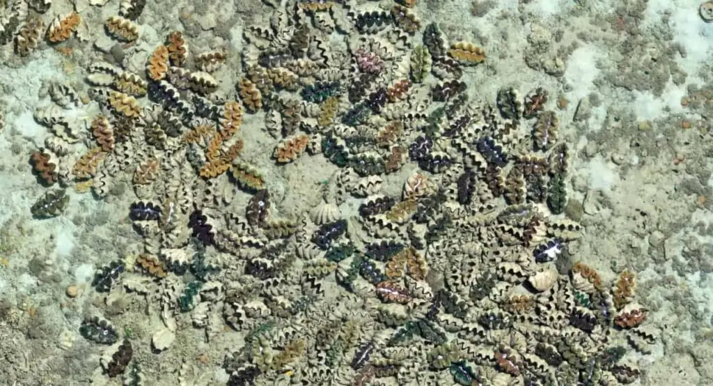
Using Drone Data to understand Clam Reefs
Using drone images of clam reef, we estimate the amount of live tissue & model their contribution to the calcium carbonate of the reef. I have to confess that I absolutely LOVE clam chowder. I remember when I was first introduced to it at Phil’s Fish Market and Eatery in Moss Landing, California >20 years […]
Catastrophic fires a high price to pay to reduce dust

It might have been planted to suppress dust and provide cattle fodder during a drought in central Australia, but buffel grass has taken over the landscape with disastrous results. As an invasive species, buffel grass is able to take advantage of conditions that are not so friendly for native grasses. In particular, it can grow […]
The low down on drone mapping apps
There are dozens of drone mapping apps to choose from, let’s us help you choose the right one for the job. Yes, apps can make our lives easier, but do we really need so many of them?! Let’s check out some of the free (or freemium) options in the mission planning phase of drone mapping, […]
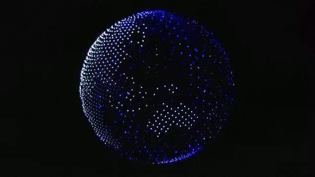
What can we do with drone data? A few advantages of drones
Get more information about the advantages of drones. Drone images hold a wealth of information. From an individual pixel to a combination of images creating orthomosaics over space and time. In the opening ceremony of the 2020 Tokyo Olympics, the drone globe on top of the stadium is for sure one of the most iconic […]
How much data does a drone image have?
In this article, we discuss extracting information from drone images. From orthomosaic maps to pixels, thrilling information can be unveiled layer by layer from drone data. However, some may wonder, how is this related to us? These are scientists’ jobs. On one hand, the abundant amount of raw data out there is too cumbersome for […]