

There are dozens of drone mapping apps to choose from, let’s us help you choose the right one for the job.
Yes, apps can make our lives easier, but do we really need so many of them?! Let’s check out some of the free (or freemium) options in the mission planning phase of drone mapping, what they’re used for, and some of the pros and cons of each. This will hopefully help you narrow down the most appropriate app/s for you to use for your specific needs.
There are two main categories in my app-stack for drone mapping. There are apps that control the drone itself, then there are apps that provide a peripheral but equally important service. The latter help me ensure that I am operating safely and legally. So let’s start with the peripheral apps, as they are the first that I consult as I develop a drone mapping mission.
Peripheral drone mapping apps
There are a plethora of apps available to help us make good decisions about when and where we fly. Here are some to consider:
Safety and regulations
Note that the following apps only provide guidelines and it is still the pilot’s responsibility to check with local authorities and regulations. They have however been verified in Australia by CASA.

- OpenSky – Available via a browser, iOS, and Android, and no apparent limitations outside of Australia. The interface is simple to use, a map legend is available to describe the category of each restriction, and the detailed information for a ‘clicked’ location is thorough though simple. There is an option to change the type of pilot (e.g. recreational, commercial excluded, or REOC holder), as well as to set the planned flight date and time. National park warnings are included.
- AirMap – Available via a browser, iOS, and Android, though outside of Australia it’s recommended only to use the browser version. There is limited functionality or customisation available without creating an account, and it doesn’t appear to cover marine/national park boundaries as part of the restrictions. There is also limited information related to the restrictions that apply in any of the annotated areas, except to show that they exist. For example, in the approach and departure paths of an airstrip but outside of the three nautical mile radius, it notes that there is a restriction but the details of the restriction itself is unclear.
- OK2Fly – As a web browser only option, and only available over Australia, this is really only just OK. It provides the option to change between the pilot type (e.g. recreational, commercial excluded, or REOC holder) and contains information about the airspace as well as that about marine / national parks etc. Unfortunately, I’ve never been able to find a legend for all the colours and patterns that are depicted on the map (huge cartographic no-no!), so getting an overview at first glance isn’t so easy without clicking on specific locations.
- Epicollect5 – This app doesn’t really have anything to do with drone mapping, but that doesn’t stop me using it for that purpose! It’s a free app where you can create your own forms for data collection. I’ve used it to create my on-site drone safety checklist, and also to capture other on-site metadata related to the mission.
Weather

- UAV Forecast – I love this app for curating all relevant weather information on an hourly basis in a simple interface (rain, sunrise/sunset, temperature, wind speed, gusts, wind direction, visible satellites, cloud cover). The free version gives 24hr forecasts though you can upgrade to the paid option to get a seven-day forecast.
- WillyWeather – This is a really comprehensive weather app that provides similar information to that contained in UAV Forecast, however has the added bonus of including tides which is really important for my marine and coastal drone missions. I also like the graphical representation of the information and the forecast is available for up to one week in advance.
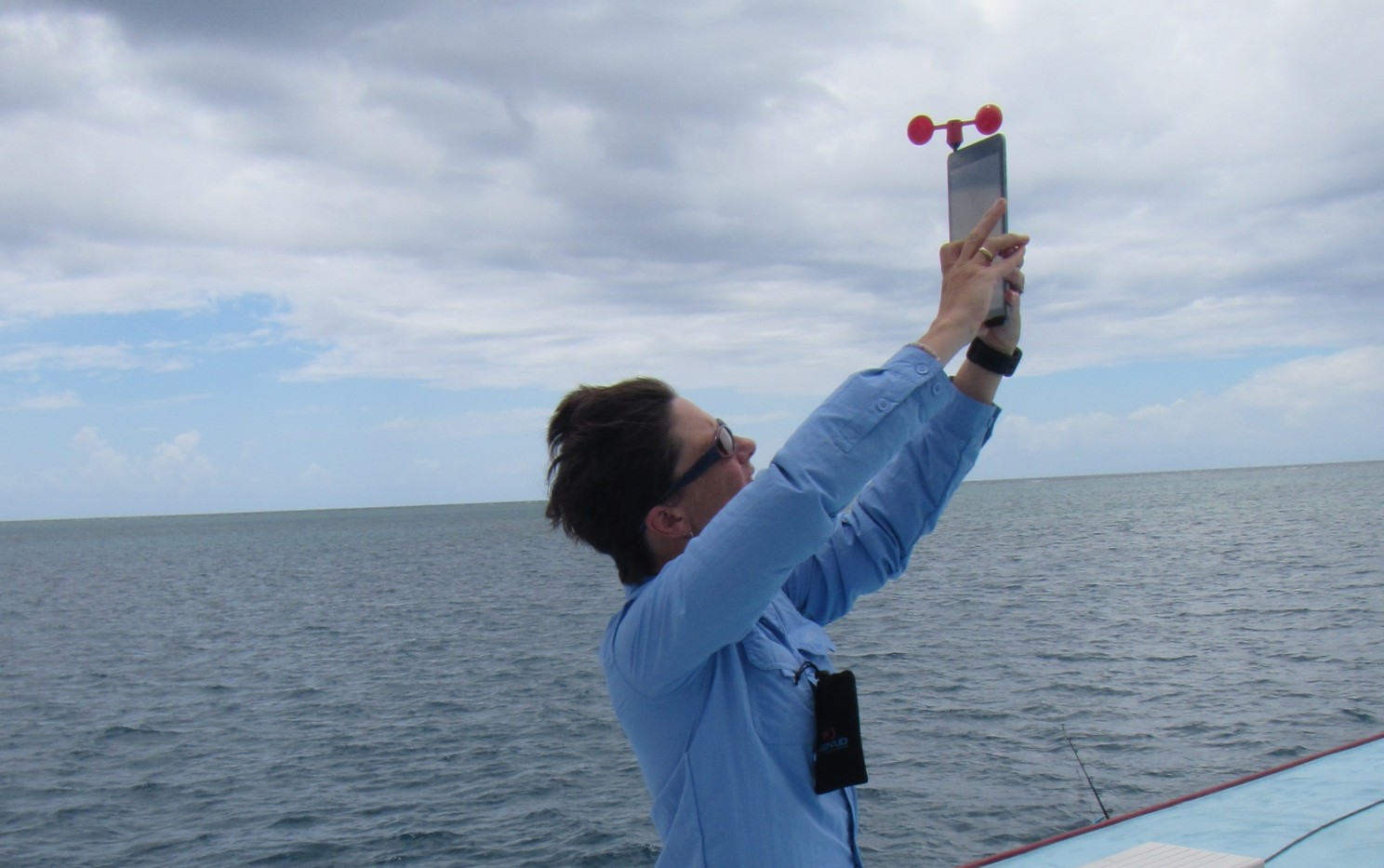
- Vaavud – I use this app to give me the wind speed when I’m out in the field. It was designed for surfers, but I find it useful for droning! It only measures the wind speed and direction at the location of my phone though, and obviously, this may not be the same as what the drone will experience at altitude. The app is free, though you do need to purchase the attachment for your phone/tablet. With more experience, it becomes easier to estimate the wind speed without using this tool, but it’s definitely great for beginners.
Drone mapping mission planning apps
These are apps that allow users to set an autonomous grid flight plan for the purpose of creating an orthomosaic and 3D model in photogrammetry software.

- Pix4D Capture – works on iOS and Android and for a range of different drones in the DJI, Parrot, and Yuneec ranges. I also like that it works on my phone – some of the other apps need tablets, but I wish it had a desktop app.
- DJI GS Pro – iOS only and needs at least a 7″ screen. Aside from that, this is my favourite for user-friendliness for DJI drones. It also allows the drone to fly backwards thus always keeping photos in the same orientation, which is super helpful for cutting out sunglint on water bodies. There are some paid options in this app though I have never investigated them, and I always use the Free version.
- DroneDeploy – iOS, Android, and desktop, and also works on my small phone. DJI models only. I really like the ability to plan on my desktop. The paid version of this app also processes your data into an orthomosaic and 3D model, though to be honest, I prefer to do this level of processing myself. I just use the Free version.
- Mission Planner – Windows desktop app only, but this is the most comprehensive mission planner I’ve ever used. In fact, it does way more than just mission planning and is a ‘full-featured ground control station’. It’s also open source and supported by the community BUT it is limited to drones on ArduPilot open source software (e.g. Pixhawk). I used to use it on my 3DR drones and custom builds but alas it’s not compatible with my DJIs.
- QGroundControl – Runs on Windows, Mac, Linux, iOS, and Android so is the most flexible app available, but as with Mission Planner it is limited to drones running ArduPilot open source software. It is also full-featured and provides many more options for pilots to plan and monitor flights than just creating a survey grid.
- Autel Explorer – iOS, Android and also works on my phone. This one is only for the Autel series of drones but I really like it! The best thing about it is that it integrates the basic flight app with the mapping component, so you don’t have to use a separate app (by contrast if you have a DJI drone you will need to use the DJI basic app (e.g. DJI Go 4, and then one of the mission planner apps separately). I also like that it has some of the airport restrictions marked, however, those markings are incomplete so I wouldn’t recommend relying on them without checking for more comprehensive information in one of the apps in the first section above.
I know that there are many other apps out there and I have only focused on the free ones or those with a free component that’s sufficient for the tasks I undertake when mapping.

