Mapping environments with drones
A guide for Natural Resource Managers to help select the right drone, collect good data, and be confident in creating insights!
Looking after the environment from above
Explore how drones and mapping tools can help you monitor, protect, and care for the environments you manage.
Natural Resource Managers are using drones to map the environments they manage. They are assessing damage from feral animals, identifying weed species, and protecting native flora and fauna.
Getting started can seem overwhelming, and can be expensive if you don’t get the right drones and software. At GeoNadir, we have been helping Natural Resource Managers get started with drones through our training and support for years.
A 15-minute consultation with our team could save you thousands of dollars!
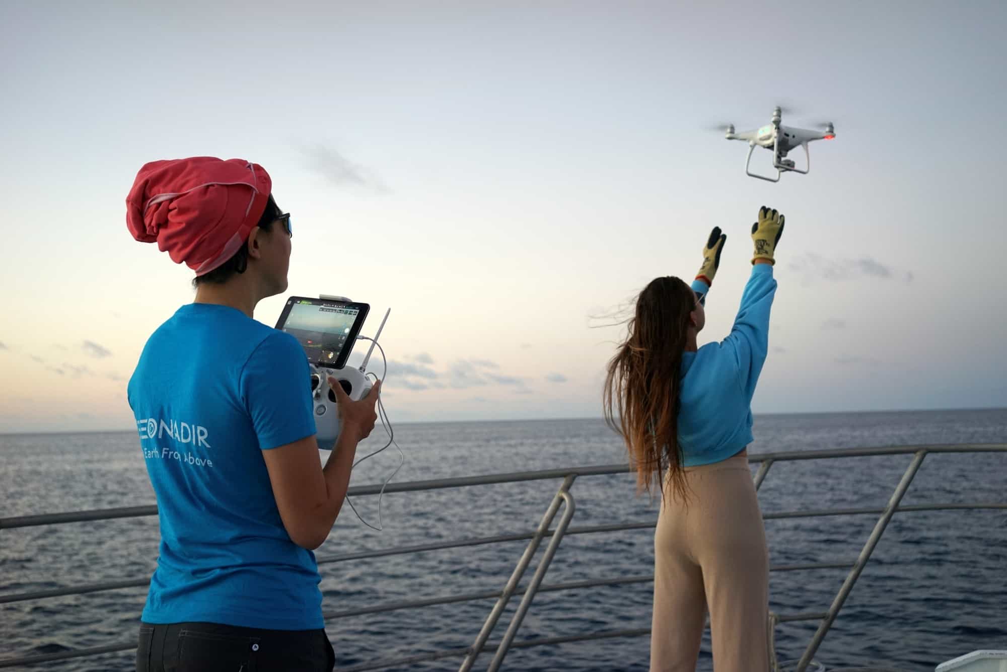
Why use drones to monitor the environment?
Drones give you a new way to see and care for the environment – safely, quickly, and with powerful detail. From invasive weeds to remediation works, drones help you track changes and make informed decisions for your management plans.
Record changes
Capture regular drone images over large areas to see how the environment is changing.
Spot new growth, track damage, and plan your next steps with confidence.
Share knowledge
Drone maps and videos help you show what’s happening in the environment you manage.
They’re a powerful way to share knowledge with stakeholders.
Save money
Drones can do the walking – or flying – for you, saving time, energy, and costs.
Drones are increasingly being used to capture better data, faster!
Getting the right drone is crucial
Selecting the right drone for your projects is essential. If you get the wrong drone, then not only have you wasted potentially thousands of dollars, but you have also lost the opportunity to get the right insights from the data.
Which drone is right?
Buying the wrong drone for drone mapping can be a waste of money! Don’t make this mistake and get the right advice.
Read this blog to assess your options.
Do you need RTK?
Deciding if you need RTK or ground control points depends on the positional accuracy for your need for your data.
We explain it all in this detailed blog.
Matrice 4 Enterprise
We tested the latest DJI Matrice 4 Enterprise, putting it through its mapping paces, and compared it to the Mavic 3E.
Read the review in this blog.
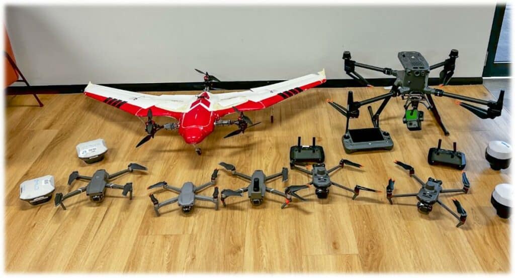
Buy drones from us
You can purchase the full range of DJI Enterprise products from us.
We provide support to assess project needs and provide drone recommendations.

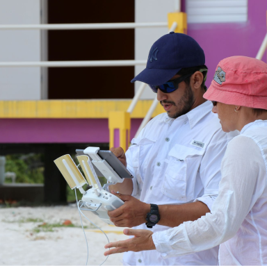
Getting training for your team
We provide environment specific training to your team to take them from ‘I’ve never flown a drone before’ to ‘I’m now confident flying a mapping mission’. This course is commonly three days long.
Practical flight skills
This course is highly practical to ensure that all participants become confident in flying drones in many scenarios. Participants start flying micro drones indoors to build confidence and later move to sub 2kg drones flown outdoors.
Essential tips for drone mapping
We guide you through decisions such as where to fly (legally and ethically), the sort of drones to use for your needs, the apps you should use for mission planning, and how to create an effective flight plan to acquire data suitable for environmental mapping.
Data processing
After capturing data, you need to work on pre-processing to create an orthomosaic image. We help you navigate the software necessary to create your mosaics and build the basis for further analysis. We take participants through the workflow step by step.
Ongoing support
Our team provides participants with ongoing support via our online learning materials, video calls, and technical support.
We can also provide our Mapping Mentor Program which provides 12 months of support to establish workflows, data analysis support, and support to present insights to stakeholders.
Catching your drone
It may sound basic, but catching drones in mid air is a risky business. We teach you how to do it correctly and safely.
We come to you
It's possible to conduct this workshop at your location, as long as it meets civil aviation safety requirements. This increases the likelihood of success for your course participants.
Get a customised quote
Book a 15-minute call and we can understand a bit more about where you are at with your journey to bring drones into your program. We can then provide some options on the best approach to getting your team the skills they need.
Getting the right software
You’ve got the right drone, had the training, but you also need the software to be able to store, manage, analyse, and share your data. The software you need is GeoNadir.
Your data, your environment
We have designed GeoNadir with three key principles in mind to support data sovereignty requirements. Watch our product demo or book a personal onboarding call to learn more.
In this call we can share more about our three principles below.
Data ownership
You own the data you upload and the orthomosaics, digital surface, and digital terrain models that are created. You have access to download the data at any time.
Sharing of data
You have full control over who you share your data with. You can share your data publically, share with a select group of people, or keep it private.
CARE and FAIR
We follow the CARE and FAIR principles as developed by the Global Indigenous Data Alliance. These principles guide the development our GeoNadir.
FAQ’s
Here are a few of the commonly asked questions. You can always contact us to ask anything more specific.
We can supply the drones for the training. But it is useful to receive training on the drone the participants are going to be using and put into practice and make the most of the learning process.
Our standard answer is no. There are a range of reasons, but it is a qualification that is not needed for the type of flying your team are most likely to be conducting. Read more in this article here with our sister company She Maps.
No. This course is suitable for all skill levels because we start from the beginning and will adapt the workshop to suit each participant’s level. We also support participants through gaining their free and online CASA Operators Accreditation.
GeoNadir uses AWS-managed cloud servers in Australia.
When you are on a paid subscription and you upload datasets to GeoNadir, you have the choice to share it publicly to the FAIR Global map for others to use, or not. The choice is yours.
Users on the free Essentials plan can only upload data to the FAIR Global Map, which is publicly accessible.
If you have private datasets and you downgrade from a paid plan to the free plan, then you will have 30 days to make your private datasets publicly available on the FAIR global map.
If you do not do this, then your Private datasets will be deleted. You will be notified prior to any data being deleted.
Accordion Content
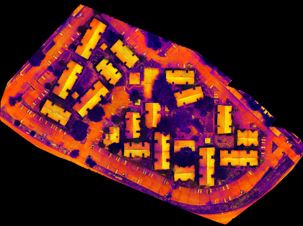
The outcome of a procedure that involves combining several overlapping photos, such as those captured by a drone or an aerial camera, is known as image stitching. This process eliminates distortions to create a seamless and uninterrupted map or image representation of a specific area on the earth’s surface.
Orthomosaics are downloaded as GeoTIFF images.
Yes, if you contact us we can arrange a free trial.
The Professional subscription allows for 5 editors. Editors are people who can upload data to the Professional workspace, and analyse data in projects.
If you need more than five editors, we can offer a tailored Pro + subscription for organisations that need more custom limits.
Yes. It is part of our commitment to FAIR principles to always offer a free tier to broaden access to drone mapping resources.
Yes, you can do this at any time. Downgrades will take effect at the end of the billing cycle you had already paid for.
You will always be able to download the raw data you upload for free.
DEM: A digital elevation model (DEM) is a gridded raster data that provides a three-dimensional view of the terrain. It eliminates terrain vector features, such as streams, break lines, and ridges, as well as all ground-based objects, both natural (such as trees and vegetation) and built (including buildings, towers, and power lines).
DTM: A digital terrain model (DTM) is a three-dimensional representation of the bare earth surface, which encompasses the terrain’s topography. It comprises a set of points with specific heights and incorporates characteristics such as rivers, ridges, and break-lines. This model excludes all-natural or human-made objects present on the earth’s surface, including buildings and vegetation.
DSM: A digital surface model (DSM) is a three-dimensional depiction of the Earth’s surface that includes both natural and man-made objects located on it. This model represents the elevations of reflective surfaces such as vegetation, buildings, and other features above the bare earth. It is typically viewed as a model of the canopy that covers the surface of the bare earth and reflects the mean sea level elevations.
If you don’t use all the orthomosaic downloads that you have bought within a month the remainder will be added to your quota for the following month.
For example, if you buy the Professional package, you will receive 5 orthomosaic downloads credited to your account each month. In case you only use 3 downloads during the first month, the remaining 2 will be carried over to the second month. This means you will have a total of 7 downloads available in the second month.
Customer stories
Our customers all have slightly different problems they are solving, or environments they are working in. But they all have one thing in common – they want a simple to use, intuitive workflow to get them from data capture to data insights faster.
Thermal Vision
Learn how Thermal vision uses GeoNadir to create insights with thermal data.
Neilly Group
Learn how Neilly Engineering Group uses GeoNadir to transform their drone data workflow.

Try GeoNadir for 7 days on us!
Hundreds of businesses and thousands of professionals choose GeoNadir. Try a 7-day FREE trial. No credit card required.