Fixed-wing vs multirotor drones: Which is better?

There are lots of advantages to using drone mapping over traditional survey techniques or satellite imagery for data collection. But to make the most of drone mapping, you want to make sure you’re using the right equipment, and that starts with picking the right drone.

What are the options?

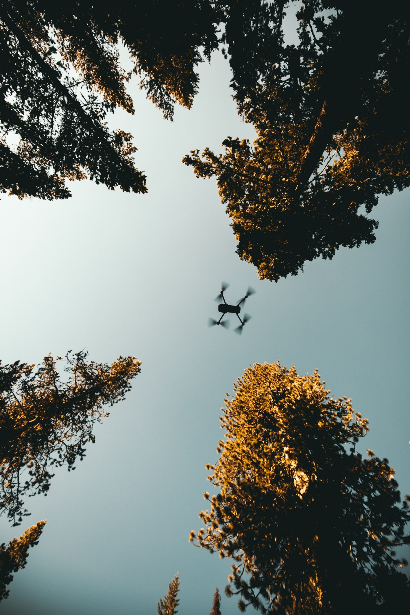
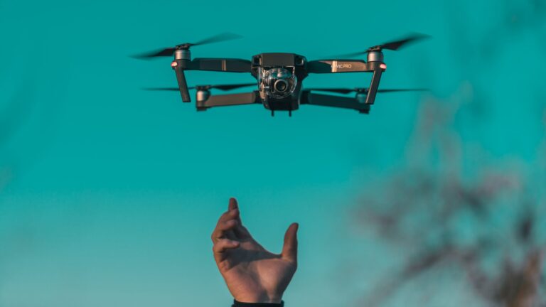
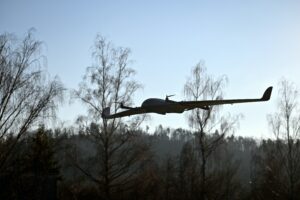
When people think of drones, multirotor drones are usually the first image that comes to mind. These helicopter lookalikes are by far the most popular style of drone on the market, both recreationally and for mapping. But they aren’t your only option. Fixed-wing drones (the plane lookalikes) or fixed-wing hybrids (which mush helicopters and planes together) could be just what the doctor ordered to get your mapping done quickly and efficiently. So how do you know which one to use?

Multirotor drone
A quadcopter drone, one type of multirotor drone available on the market.

In short…

There are lots of things to consider when picking what kind of drone to fly, but here’s a quick summary:

If you’re…

  • New to using drones for mapping;
  • Need manoeuvrability and flexibility in how you map;
  • Have limited take-off and landing space; and/or
  • Only need to map small areas

…you’re better off sticking with multirotor drones, which are cheaper, beginner-friendly and suitable for most small scale mapping missions.

On the other hand, if you’re…

Fixed-wing drone
An example of a fixed-wing drone
  • Needing to do lots of large scale mapping missions;
  • Mapping in high wind areas or at altitude; and/or
  • Willing to put some extra time into learning more complex piloting

…fixed-wing drones might be a good option for you to explore. They do tend to be much pricier (especially the hybrid models), but it can be worth the time saved in faster, more efficient mapping missions.

So that’s the quick summary. If you want a more detailed breakdown of the advantages and disadvantages of the two different types of drones, keep reading.

Multirotor drones

Let’s start with multirotor drones. There’s a reason why these drones are some of the most popular designs on the market.

Advantages

Beginner-friendly – Multirotor drones are generally pretty beginner friendly. They’re operated with simple joystick controls that allow their pilot a lot of control around their movement. If you panic while flying, all you have to do is take your hands off the controls. They’ll hover in place until you’re ready to start flying again. There’s also a wide range of mapping software out there that lets you pre-program your multirotor drone’s flight path for the best mapping results. We’ve written a handy run down of some of the most common apps here.

Manoeuvrability- Although mapping apps take some of the stress of planning a mission, the manoeuvrability of multirotor drones also makes it’s easier to map areas efficiently. They can hover in place and fly forwards, backwards, left and right without having to change their orientation. If you’re flying around potential hazards (like mountain sides), this extra manoeuvrability can be a real life saver.

Cost – Multirotor drone designs are generally your cheapest option, although you can certainly fork over the extra cash if you want something a little bit fancier. For a basic drone capable of running good mapping missions, you’re probably looking at something in the price range of $1500 – $4500 AUD.

Easy take-off and landing- Like a helicopter, multirotor drones can land and take-off vertically. This means you only need a small, clear, flat space to get the drone in the air. This can be a big advantage in places with lots of trees or shrubs, or out on the water when the only available take-off surface is a boat.

As an extra bonus, multirotor drones can usually be folded down for easy transport. They can also often handle some extra weight. This can be useful if you want to trade out the standard camera for something with better resolution, or if you want to add some extra sensors.

drones
A quadcopter flying through a forest, the kind of environment were manoeuvrability and vertical take-off and landing is a big advantage

Disadvantages

Short flight times- The biggest disadvantage with multirotor drones is that their method of flying is quite energy intensive. With current battery technology this generally limits flight times to 20-30mins before you’ll need to change the drone’s battery.  If you need to map a large area, this will slow you down. Multiple missions also means it’s more likely for a mistake to be made with image overlap and sidelap, impacting the quality of your final orthomosaic

Vulnerability to high winds – Multirotor drones rely on the spinning of their rotors to stay stable in the air making them vulnerable to high wind. If you want to map in an area that’s windy, multirotor drones might not be the best bet. However, as a general rule it’s best to avoid windy conditions when mapping anyway. Wind can impact the quality of the final orthomosaic as objects in images move.

Crashes – Multirotor drones are kept in the air only by the continued functioning of their motors. If the motor malfunctions, the drone will crash, and there are generally very few options for getting it down safely. You can read one of our drone crash stories and what we learned from it here.

Altitude – Like helicopters, there’s restrictions on the altitude most standard multirotor drones can fly at. If you get too high, the air becomes too thin and the spinning rotors can’t generate enough lift to stay airborne. That being said, multirotor drones can be modified to fly safely at these heights.

Fixed-wing drones

So what about fixed-wing drones? While less common, fixed-wing drones can offer some key advantages over their multirotor counterparts.

Advantages

Flight time – The biggest advantage to using fixed-wing drones is their ability to fly faster and over longer distances than multirotor drones. This means they can cover a much larger area in a single flight.

Stability – Fixed-wing drones are also more stable thanks to their aeroplane design and they’re able to fly in higher winds than multirotor drones.

Crashes – Even if they lose power it’s possible for fixed-wing drones to glide and land safely thanks to their design

Altitude – They are more suitable for mapping at higher altitudes since their gliding design can withstand the thin air at height.

Fun fact: In Australia, fixed-wing drones are often attacked by wedge-tailed eagles defending their territory. If you’re flying near birds, keep your eyes peeled in case you need to make a quick landing!

Disadvantages

Manoeuvrability – Fixed-wing drones can only fly forward, so they don’t offer the same level of manoeuvrability as multirotor drones. They need space to make large, sweeping turns when they change directions, which can cut down on mapping efficiency. 

Take-off and landing – Like aeroplanes, fixed-wings need a large, clear space to take-off and land. Some of the larger models also require specialised ground-based apparatus to help them launch and land.

Skill level – Fixed-wings have to stay in motion to stay aloft which means there’s no option to hover if you lose control. Like multirotor drones however, many fixed-wings either have built in mapping software or companion apps that can automate flying for mapping, taking the pressure off the pilot.

Cost – Fixed wing drones tend to be on the pricier side, with drones for surveying and mapping costing in the range of
$20 000- $30 000 AUD+ depending on the kind of model you buy. If you invest in one of these, you want to be doing a lot of mapping!

What about hybrids?

Hybrids refer to fixed-wing aircraft that have been modified to allow vertical take-off and landing. This eliminates one of the big weaknesses of fixed-wing drones: the need for large spaces for launch and landing. Some models also have the option to switch to hovering mid-flight. However, managing this transition efficiently can be tricky to master. It means these drones often aren’t beginner friendly and the fancier technology places them in the upper end of the fixed-wing market in terms of cost.


So what sorts of things can I map with different kinds of drones?

What you map is really up to your imagination and there’s a world of discoveries out there to be made. Check out some of the amazing datasets on GeoNadir for inspiration. If you click on the metadata for an image collection, it will tell you what kind of drone was used to capture it.

This image collection of a glacier in Switzerland was captured using a senseFly fixed-wing drone.

Glacier Orny is between 2, 700 and
3, 000m altitude making the air too thin for an unmodified multirotor drone to stay aloft. A fixed-wing drone also meant that more of the glacier could be mapped quickly.

Read more about the mapping mission, or view the image collection on GeoNadir.

Image credit: Drones for Earth

This stunning coral reef image collection from the Great Barrier Reef was captured using a DJI multirotor drone.

Multirotor drones are useful when mapping in the marine space because often the only surface available for take-off and landing is the small area of your boat. 

You can view the details of this image collection on GeoNadir.

Image credit: Karen Joyce

Whether you go out and fly with a multirotor or fixed-wind drone, consider uploading your datasets to GeoNadir so others can learn from the work you’ve done. Happy flying!

Subscribe for more stories from above, tips, & tricks

Share this article with your peers on social media.

Facebook
Twitter
LinkedIn
Topographic map with dots displaying data points of environmental drone mapping data. Three drone mapping overlays in different environments

Get a free account

  • Unlimited orthomosaics
  • Unlimited uploads
  • Free storage
Manage, process, analyze, and collaborate with your drone mapping data.