Artificial Intelligence
A dummies guide to GeoNadir’s classify data (random forest) feature.
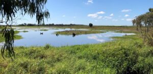
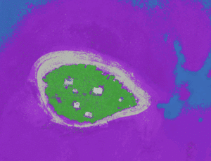
Our most powerful feature this year Drone data is incredibly powerful, but making sense of it can be overwhelming. That’s why we’re excited to introduce a new feature on GeoNadir: Classify dataset. This feature currently uses a random forest classification to help you automatically detect features in your imagery. We are investigating other algorithms to