Getting the basics right with the Pilot Institute
In the rapidly evolving world of drone technology, getting the basics right, understanding the drone and what it can do, and how to use this to best effect for your projects has never been more critical.
This is where the offerings of the Pilot Institute, particularly their free courses diving deep on different drone models, become invaluable. Let’s explore how these resources can elevate the quality of your drone mapping, making sure each flight gets you the result you need.
Elevating your skills with the Pilot Institute
The Pilot Institute is at the forefront of drone education, offering a wealth of knowledge through their extensive course catalogue.
Their courses are developed by experienced operators to cover every aspect of drone flying, from the basics of operation to the complexities of navigating regulatory landscapes in the USA.
However, it’s their free courses, especially the deep dives into specific drone models, that offer a unique opportunity for drone mapping enthusiasts to refine their skills without financial constraints.
Free courses: A gateway to mastery
Understanding Drone Models
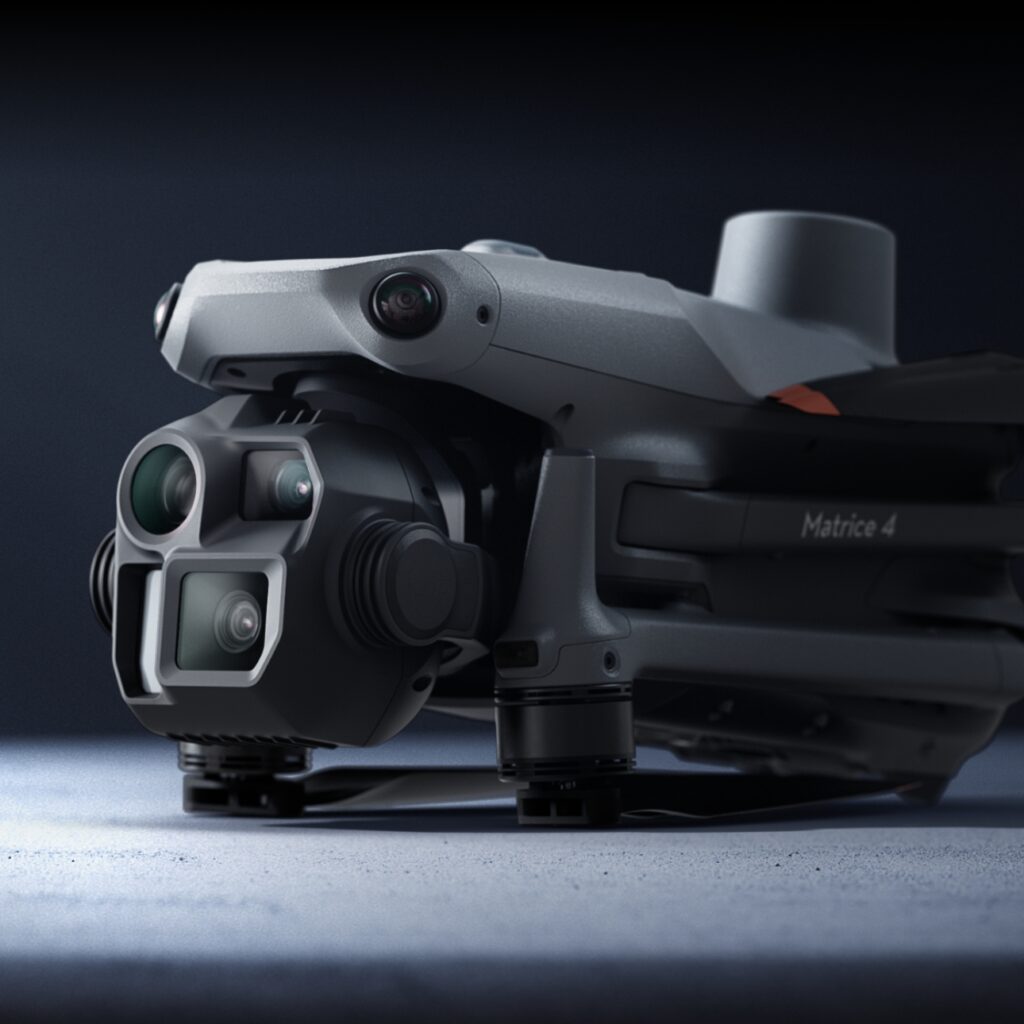
Each drone has its quirks, capabilities, and features. The Pilot Institute’s free courses on specific drone models are not just tutorials; they are gateways to understanding the full potential of your drone. These deep dives cover operational nuances, maintenance tips, and customization options that can significantly impact the quality of drone mapping images.
Drone Regulations and Safety
Before you take to the skies, knowing the rules of the air is paramount. These courses ensure you’re not just a skilled operator but a responsible one, aware of the airspace regulations that govern drone flights. This knowledge is crucial for planning mapping missions that are both safe and compliant.
Advanced Flying Skills
The quality of drone mapping images is directly influenced by the operator’s ability to combine the autonomous features of the drone with the environmental features of the project they are mapping.
Through these courses, you’ll learn how to execute flawless flights, ensuring the images captured are of the highest quality, free from blurs or distortions caused by poor settings or application of the drone.
Why this matters for drone mapping
Drone mapping is more than just flying a drone and taking pictures; it’s about capturing the world from above with precision and detail. The skills learned from the Pilot Institute’s courses directly contribute to the success of mapping projects by:
- Enhancing image quality: Understanding your drone’s capabilities allows you to optimize settings for the best image capture, crucial for detailed and accurate maps.
- Ensuring safety and compliance: Knowing how to navigate the legal and safety aspects of drone flying enables more reliable and uninterrupted mapping missions.
- Improving efficiency: Mastery over your drone model means you can plan and execute mapping missions more efficiently, saving time and resources.
The path forward
For drone mapping enthusiasts and professionals, the journey towards excellence is ongoing. The free resources offered by the Pilot Institute not only provide the knowledge needed to master drone operation but also ensure that every flight contributes to the creation of high-quality, impactful maps. Whether you’re just starting or looking to refine your skills, the Pilot Institute’s courses are an invaluable resource in your drone mapping journey.
Once you have finished a drone mapping mission, upload your data to GeoNadir and we will store and process the data for you, and provide you with visualisation and analysis tools to create insights!


