
Precision agriculture is an increasingly popular farm management strategy used to improve farm sustainability. It aims to facilitate adaptive farm and crop management based on crop health data. By only applying treatments when needed, farmers can reduce the amount of environmentally damaging chemicals, like pesticides, used on their crops, and improve water and soil health. Advancing data collection and analysis technology, like drones and machine learning, are what have made precision agriculture possible. They allow farmers to easily regularly monitor and respond to variations in the condition of their crops.
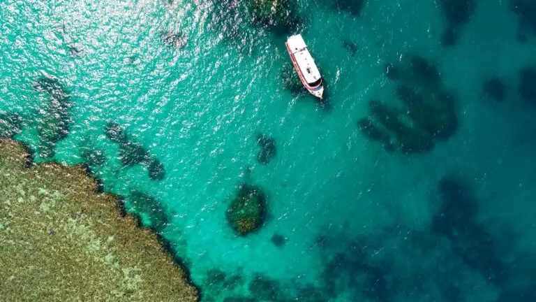
Environmentally friendly farming is especially important in areas like the Great Barrier Reef catchment, where better farming practices can reduce the stress on an already struggling reef. Drone mapping has helped support the trial of a new precision agriculture technology on sugar cane farms in the region. The spraying technology, called AutoWeed aims to reduce herbicide application on sugar cane farms by spot-spraying weeds.
Using precision agriculture to reduce herbicide run-off
Sugar cane is an important crop in the Great Barrier Reef catchment that contributes to herbicide run-off. Standard weed management for sugar cane crops involves blanket spraying the entire crop with herbicides. Although this is effective, it wastes a lot of herbicide, which is both costly and bad for the environment. AutoWeed instead aims to use spot-spraying, so only weeds receive herbicide. By using deep-learning to identify and spray weeds, the precision agriculture technology reduced herbicide use on sugar cane crops by 29% on average.
But was AutoWeed actually effective at killing weeds? If farmers are going to adopt the technology, they need to know how it measures up to their current spraying methods. Drones offered a way to quickly collect high-quality data to compare the effectiveness of the precision agriculture technique to traditional methods.
Why herbicides are a danger to the Reef
Between 1995 and 2017, it’s been estimated that the Great Barrier Reef lost half of its corals. While coral bleaching is one of the most concerning causes of this, other factors, like poor watery quality and pesticides, are making the reef more vulnerable to bleaching events. Over 80% of the catchment area for the Great Barrier Reef supports some kind of agricultural use. A lot of this area grows crops, which farmers blanket spray with herbicides to remove unwanted weeds and improve production.
The problem is that the herbicides used on these farms eventually enter waterways that flow out onto the reef. The same chemicals that make them so effective at killing weeds also make them dangerous to marine plants and corals. Precision agriculture technologies that reduce the amount of herbicide farmers have to use can contribute to the resilience of the reef.
Using drones to track the success of precision agriculture
One of the great advantages of drone mapping is its ability to create a highly detailed record of an area. Using drone mapping, the AutoWeed team produced a 2mm resolution orthomosaic of the each paddock before and after spraying. From this orthomosaic, the team could manually identify the location and condition of all the weeds in a paddock. Using drone mapping to measure the efficay of the precision agriculture technique saved the team hours of field work. The georeferenced precision of the orthomosaic also allowed for direct before and after comparison of weed survival. The team could then easily identify where either spraying method failed to kill the weeds.
So what were the results? The spot-spraying technique was 97% as effective as the industry standard. It’s a very promising result for using this precision agriculture technique to improve the sustainability of sugar cane farming.
Explore more datasets on GeoNadir
Precision agriculture is just one area where drones are helping to create a more sustainable future. You can view some of the amazing places people all over the world have mapped with drones on GeoNadir. You can also read more about the innovative research being done with drones across all fields in the Stories from Above blog.
Do you uses drones for drone mapping? Consider uploading your datasets to GeoNadir so others can learn from your datasets. Storage is secure, and we’ll automatically generate an orthomosaic from your data!

