
How many drone datasets do you suppose there might be around the world? Discover more about how to upload drone data.
I consider myself to be a biographer for Mother Earth. I tell stories of her beauty, challenge, and change, using drones and satellites as my scientific illustrators.
Over the years I have amassed many ‘photo albums’ of Mother Earth; seen the progression from expensive and siloed, to open satellite data archives; and now particularly enjoy the autonomy of earth observation using my own drones.
Though most recently I have started wondering – what if we could upload free our drone data as the US Government did for Landsat in 2008? The open Landsat archives allowed us to ask and answer questions we didn’t even know we had! What if we could use and upload drone data just as easily?
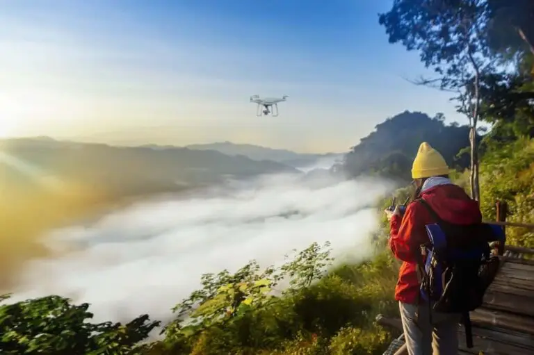
How many drone datasets do you suppose there might be around the world? All sitting on thousands of hard drives like little treasures waiting to be discovered. Only one day we’ll no longer have the right adapter cable…
As someone who twitches at the sight of waste, I know that a LOT of drone data gets wasted (I’m guilty of this too). People capture data that they never use at all, or they only use a small component of it. Then perhaps they change jobs, and the data were never properly archived anyway so they get lost in the pile of USBs. Does any of this sound familiar?
So rather than lose, let’s reuse! I’ve tried to make this as simple as possible and created an online platform where you can upload, store, and manage your data. It’s called GeoNadir, literally meaning ‘the earth viewed from directly above‘. Drag and drop in your raw geotagged nadir drone images and we’ll do the rest, even the orthomosaicking! Very soon we’ll also serve the data to your favourite GIS platform.
Do you need to Marie Kondo your hard drives? I’m ready to take your data. I’m like the online drone cloud repository version of Goodwill.
Launch GeoNadir and create a free account to store, manage and upload your drone image data, while sharing our common vision of making the most detailed map of the planet ever possible using crowd-sourced drone data.

