
Sea cucumbers might not be the most glamorous residents of the Great Barrier Reef, but they’re essential ecosystem engineers. They turn over sediment, cycle nutrients, and keep coral reef habitats healthy. They are also a valuable fishery, so their sustainable harvest is critical.
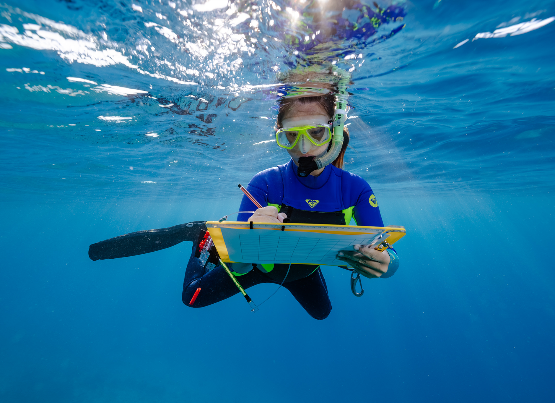
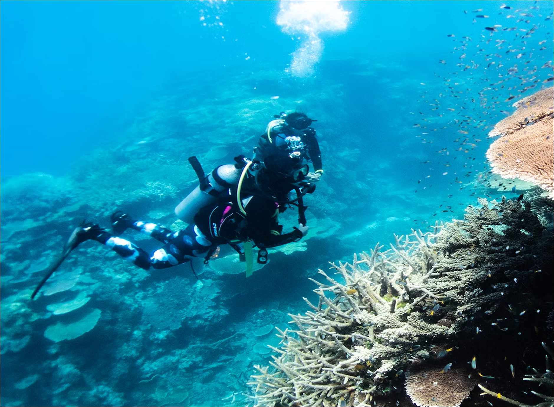
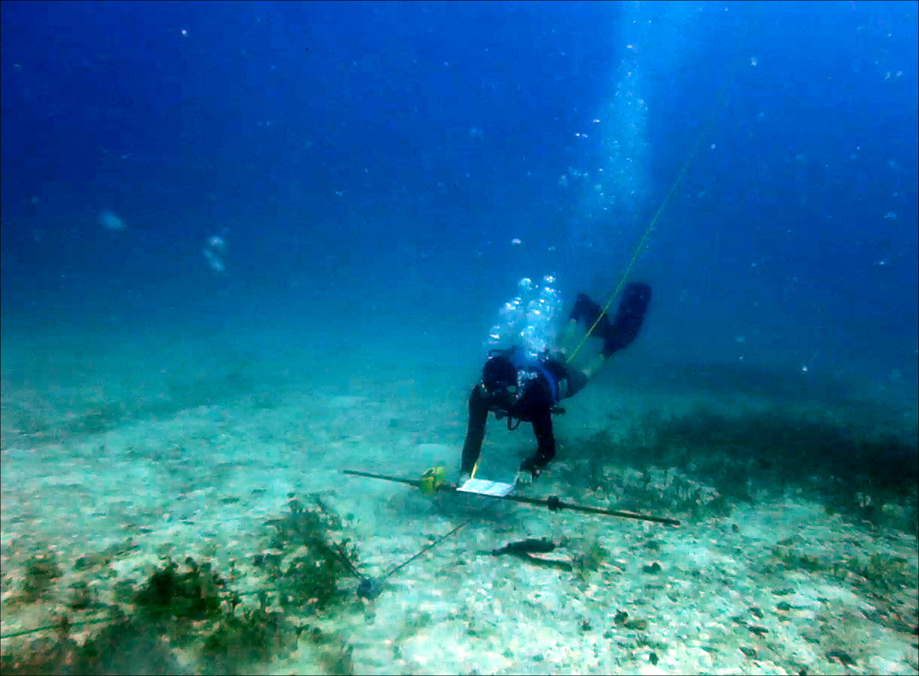
Yet despite their importance, surveying them has always been slow and labour-intensive. Traditional snorkel, SCUBA, or manta tow surveys cover only small areas and can’t safely reach deeper waters, leaving large parts of reef ecosystems unmonitored.
Contents
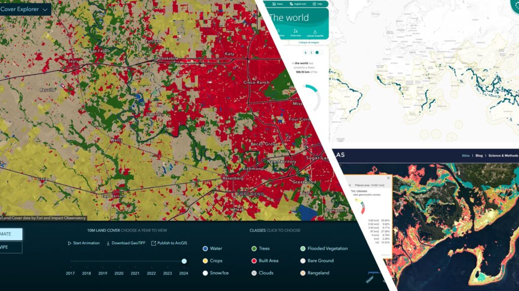
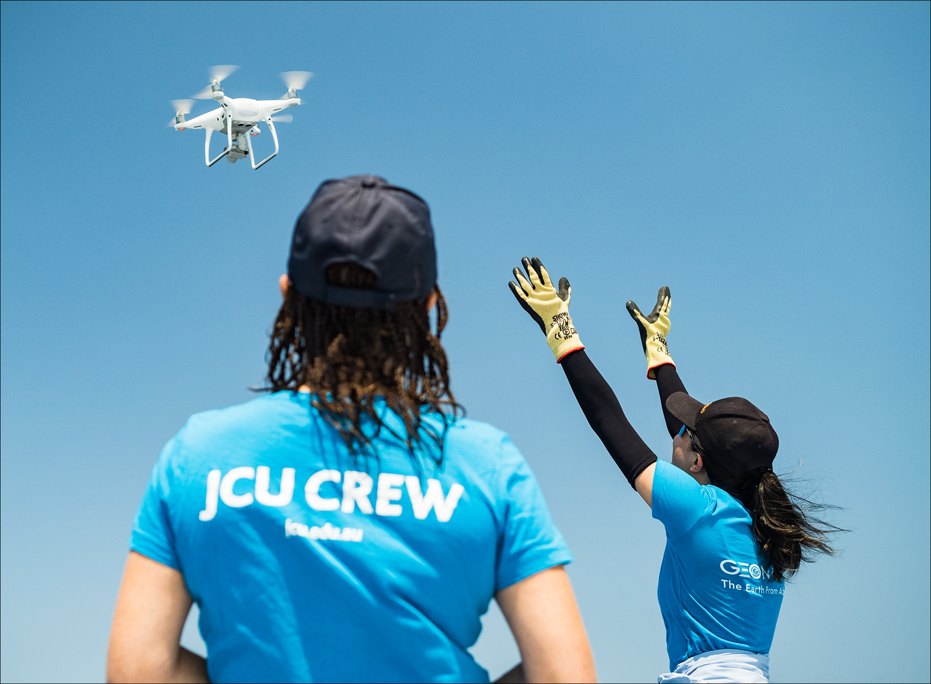
The ability to cover large areas swiftly is the problem a multidisciplinary team from Macquarie University, Griffith University, James Cook University, and GeoNadir have set out to solve. The goal: to modernise sea cucumber monitoring using aerial drones, surface drones, and under water drones (AKA ROVs or remotely operated vehicles). We used GeoNadir’s geospatial data platform to process the drone data. You can read the full scientific article here.
Building a digital record for reef monitoring
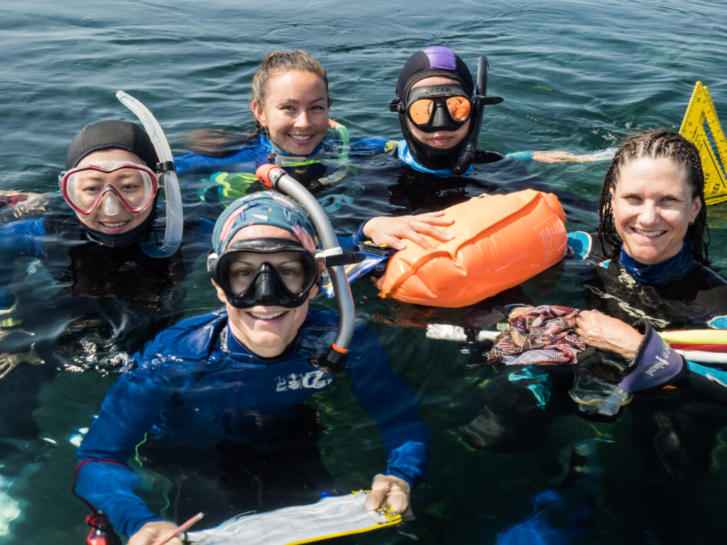
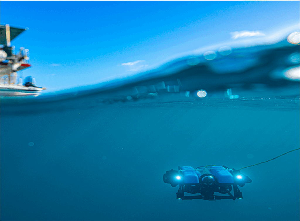
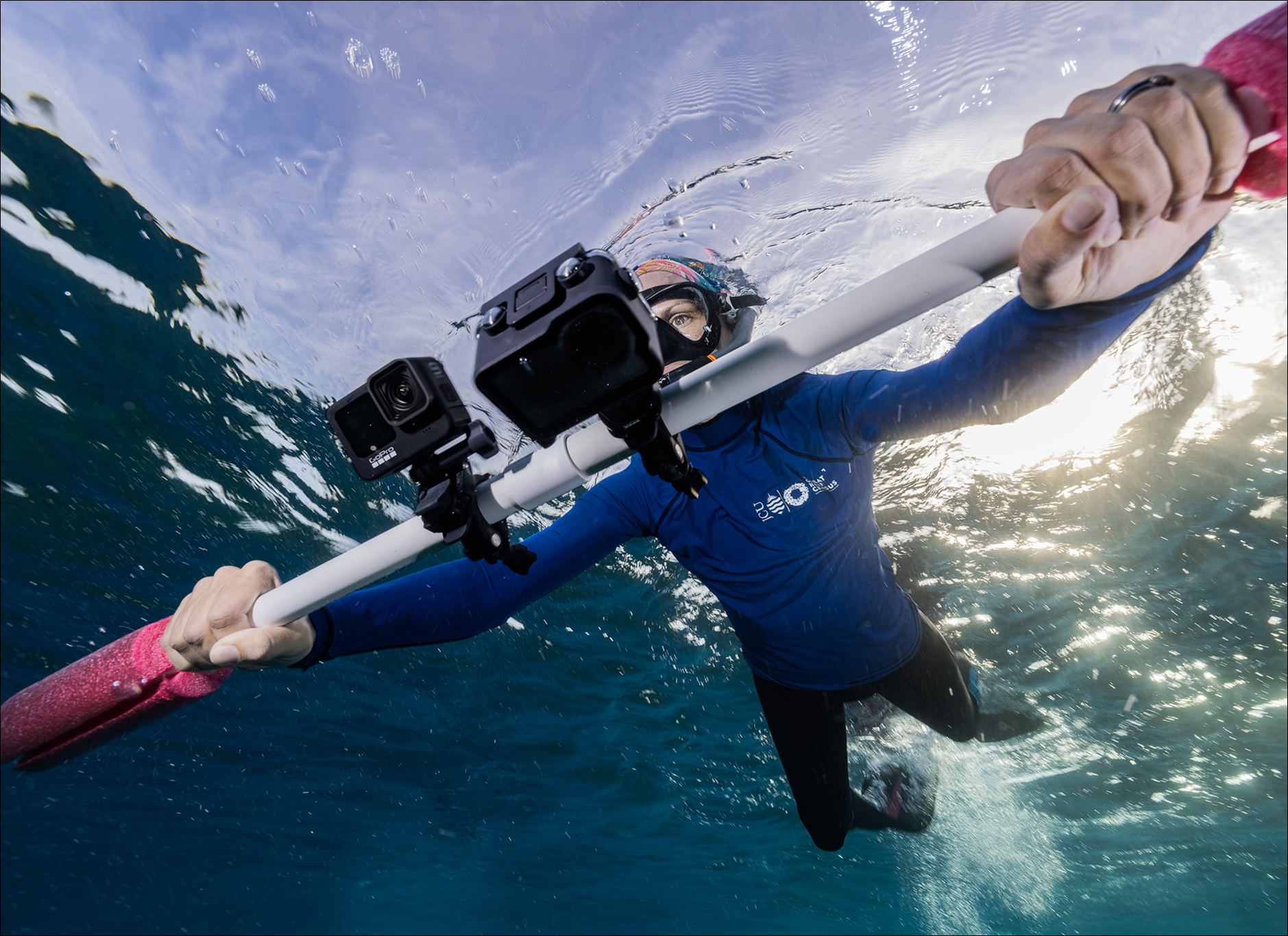
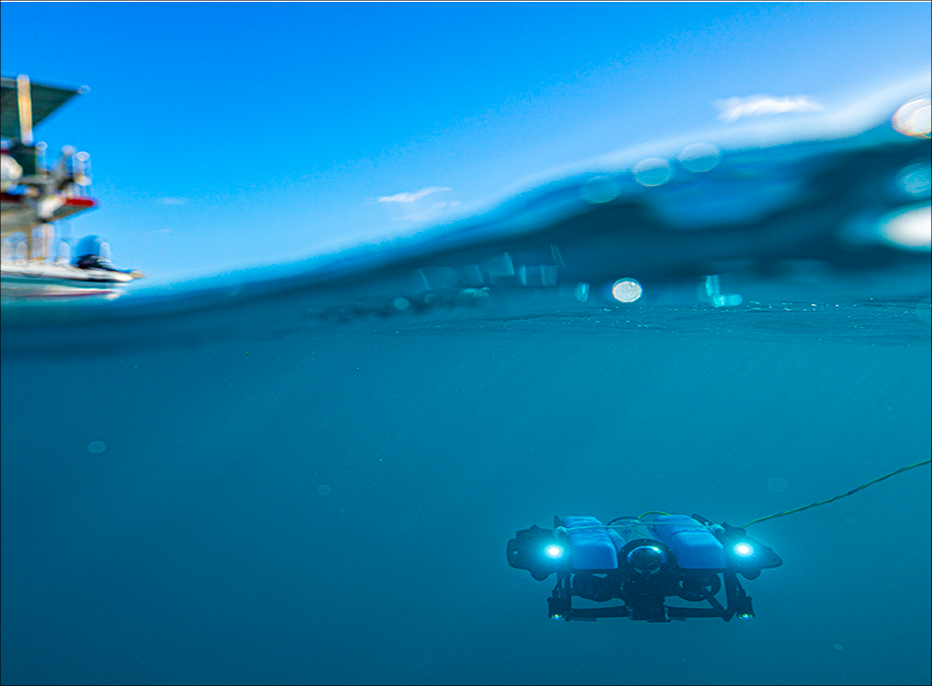
At each reef site, the team conducted traditional diver and snorkel transects alongside ROV and drone surveys. While snorkelers and SCUBA divers recorded sea cucumbers by hand, drones and ROVs captured thousands of high-resolution images from above and below the water.
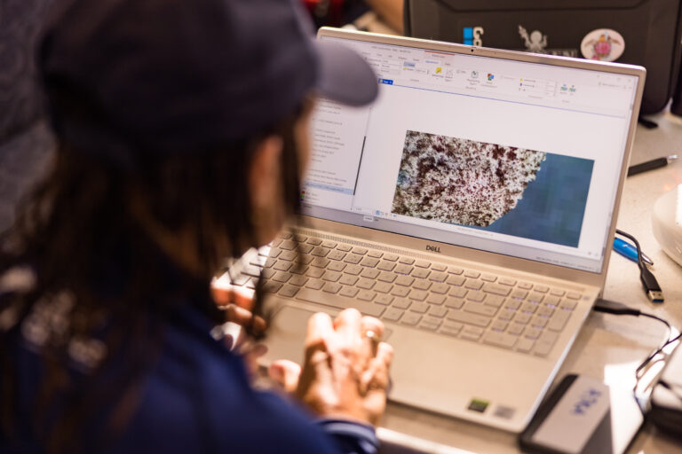
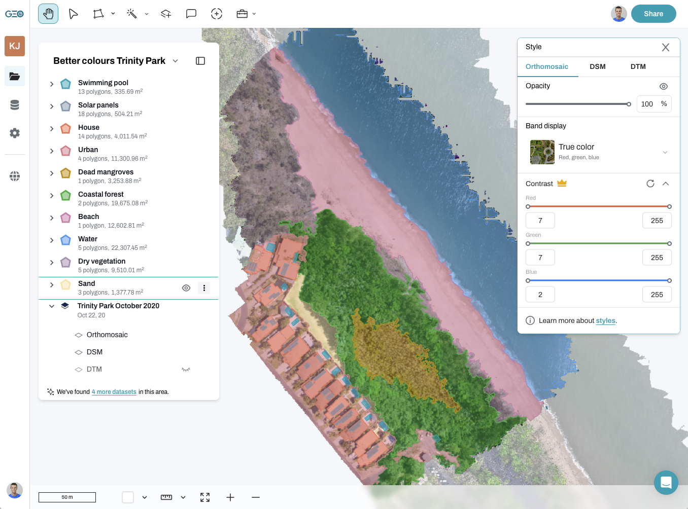
We used GeoNadir to turn the overlapping drone photos into georeferenced orthomosaics – seamless, map-accurate visuals of each transect area.
From there, researchers could zoom in, identify individual sea cucumbers, and precisely match their locations to GPS coordinates. GeoNadir gave us a unified space to process, store, and manage all our drone mapping data. It meant we could compare methods, share data instantly across teams, and create a lasting digital record for future analysis.
Faster, broader, and safer
Our study found that ROV and drone-based methods delivered comparable results to in-water surveys, but with far greater efficiency:
- Towed ROVs (underwater drones) completed surveys in a quarter of the time taken by snorkelers.
- Aerial drones mapped entire reef areas that would have taken divers days to cover.
- Both methods created a permanent visual record, enabling future reanalysis or AI-based species detection.
But of course the tech isn’t foolproof. And there’s one big challenge – the weather. High winds and surface glare reduced drone visibility, underscoring the importance of good flying conditions.
It’s simply not possible to see the sea cucumbers in aerial drone imagery if the water is too deep, murky, or ripply at the surface. And as for the ROV – it’s not feasible to tow this if the conditions are rough either.
Scaling up with smarter drone reef mapping
This project highlighted how platforms like GeoNadir are transforming environmental monitoring:
- Consistent, automated processing means datasets from different sites can be compared easily.
- Cloud-based data storage ensures that imagery is securely archived and accessible to collaborators anywhere.
- Reliable internet even at sea means that the data can be processed on site, rather than creating a backlog for the office.
- Collaborative data sharing eliminates the friction of moving large files between teams.
With GeoNadir, what once required specialist desktop software can now be done entirely in the cloud, making advanced geospatial workflows accessible to anyone, anywhere.
Beyond sea cucumbers
While this project focused on sea cucumbers, the same workflow can be applied to monitoring a wide range of benthic species and their habitats. We have other examples working with clams and sea urchins to coral cover and seagrass extent.
Integrating remote sensing and cloud-based analytics is reshaping how we understand marine ecosystems, providing the repeatable, scalable, and transparent monitoring needed for sustainable management. And it’s really exciting to be able to provide these solutions in near real-time while out at sea.
Reimagining reef science with GeoNadir
Remote sensing doesn’t replace scientists in the water, but instead it amplifies their impact. By pairing field expertise with cloud-based processing, projects like this one demonstrate how technology can make marine research faster, safer, and more collaborative.
At GeoNadir, our mission is to make drone mapping accessible to everyone. From researchers to conservationists to local communities. Together, we’re creating a shared digital record of our planet’s changing coastlines and reefs.
Ready to modernise your own marine monitoring workflows?
Explore GeoNadir today and discover how easy it is to turn drone data into actionable insights.
Click here for the full scientific paper about this research.
