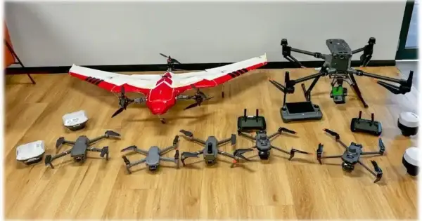
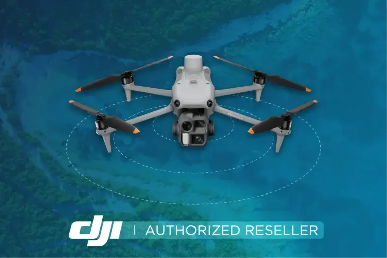
The global home of drone mapping data

Manage. Process. Share. Access. 

Start for free

Manage your drone mapping data

We’ve got your drone mapping data sorted with secure storage, for your peace of mind. No more sifting through vast folders of data and memory sticks to find what you need. Simply drag and drop your data onto GeoNadir and we’ll take care of the rest.

Geonadir Upload your drone mapping data
Lower fees

Save money on data processing

We process your drone data to orthomosaics, DSMs, and DTMs for you to view and annotate on GeoNadir, download, or stream to your favourite GIS. No stress, no fancy computer needed. Build your monitoring, research, or consultancy practice cost effectively with ease.

Global impact

Share your data and research

Because all data should have a life beyond that for which it was originally captured. Share your profile or link individual datasets into publications for maximum reach and impact. Or simply push your drone data to clients for them to use in our intuitive interface.

Geonadir Share your data and research
Geonadir Access a global repository
FAIR data

Fill data gaps with a global repository

Find, access, and reuse data contributed by our global community to develop your own AI models and calibrate and validate your geospatial products. Backfill your projects with data from around the world to gain confidence in your outputs.

Community of practice

Be supported by the best in the industry

Want to learn how to capture better data or process it more efficiently? We have you covered with a range of training options and can link you to other like minded pilots and analysts. Save time and money by collecting data the right way from the start.

Geonadir Be supported by the best in the industry

The nuts and bolts

Manage
and store

Upload your drone data in minutes, stored for free on GeoNadir

Data
processing

We process your data to create an orthomosaic, DSM, and DTM

Draw
and measure

Create shape or annotation layers, measure distances and areas

Download
or stream

Download datasets or use our tiled map server to stream to your GIS

Global
discovery

Easily find datasets in locations or ecosystems of interest

Access
and reuse

Access global data to calibrate and validate your geospatial models

Sharing
for impact

Contribute to our global mapping mission and increase your impact

Who we have worked with

Icon Geonadir Google Logo 1
Icon Geonadir BookMyShow Logo 1
Icon Geonadir Microsoft Logo
Icon Geonadir BookMyShow Logo 1
Icon Geonadir Google Logo 1
Icon Geonadir Microsoft Logo

Featured on

Our vision is to build the most detailed map of the world

Subscribe to join our mission !

What our users say