


Supporting resources for the National Indigenous Workshop, Meanjin (Brisbane), 2025. For the best experience please use a laptop / desktop to access.
Thank you for joining our workshop session about introduction to drones! I’m super excited to share some of the resources for those who are interested in getting into drones. Special shout outs to our She Maps and GeoNadir family: Dr Karen Joyce, Paul Mead, Katie Vidal, Leah Francis, Raqui Flores, Maren Birkby, Brook Orr, Susmina Manandhar, Roshan Kafle, Prajwal Khadgi. Also to Dr Stephanie Duce, Dr Vincent Raoult, and Professor Jane Williamson as our research partners and partners for sea cucumber fisheries / habitat assessments. Other contributors to the content on this page include Prof Sarah Hamylton, Holly Muecke, Olivier Decitre, Kristen McSpadden, Michael Honey, Valerie Cornet, George Roff.
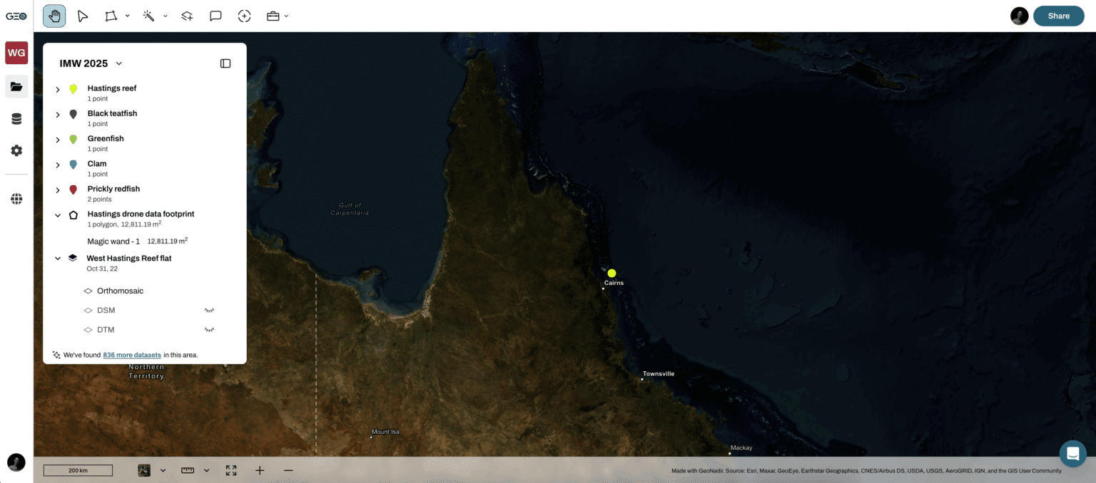
🌏Blog: Sea cucumber paparazzi
🌏Blog: Mapping country with drones
🌏Blog: What is the best drone for mapping
📚Free eBook
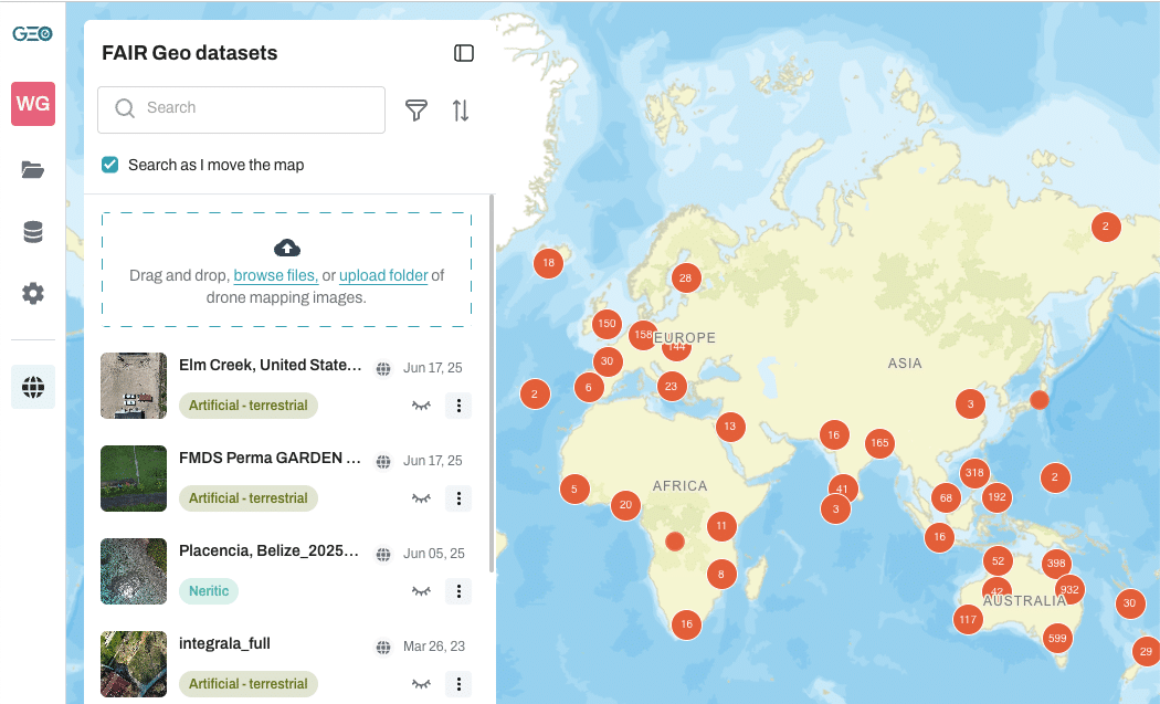
🔗 Other resources
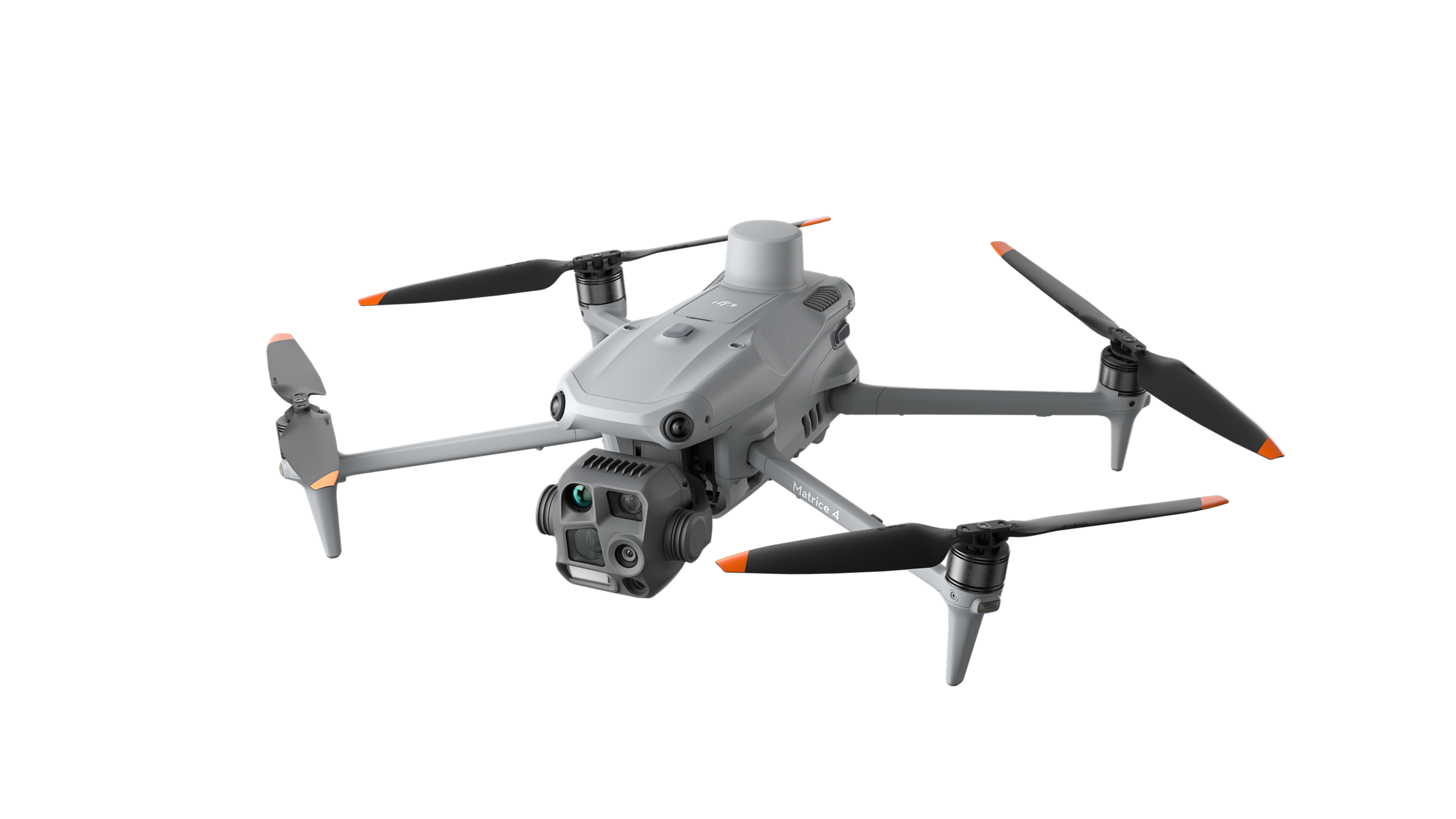
Getting the right drone for drone mapping is not a case of getting one that just fits your budget! It is making sure that the drone you get has a mapping capability first!
A 15-minute consultation with our team could save you thousands of dollars!