Getting Hands-On: From Drone Capture to Insights
Supporting resources for the National Indigenous Workshop, Meanjin (Brisbane), 2025. For the best experience please use a laptop / desktop to access.
Contents
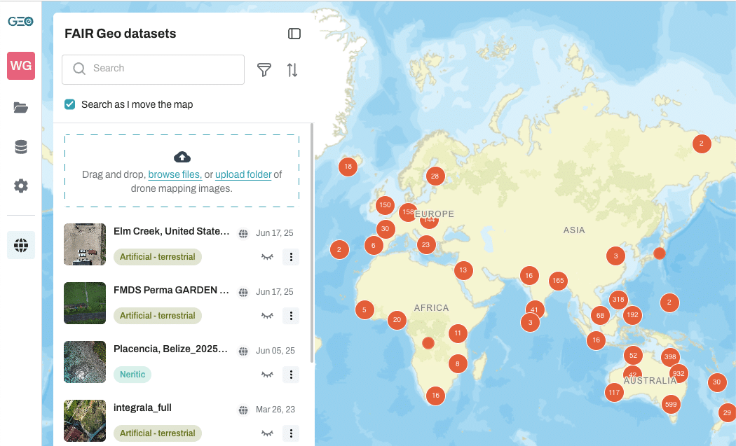
Great to see you at the IMW this year! I’m pleased to share with you some of the Earth observation and geoAI work that we’ve been working on with my colleagues at GeoNadir, She Maps, James Cook University, and our partners. Special shout outs to our GeoNadir family: Dr Karen Joyce, Paul Mead, Susmina Manandhar, Roshan Kafle, Prajwal Khadgi and the extended team at Naxa in Kathmandu. Also to Dr Stephanie Duce, Dr Vincent Raoult, and Professor Jane Williamson as our research partners and partners for sea cucumber fisheries / habitat assessments.

Explore dataset on GeoNadir
Fast digitizing with our “Magic wand” and “Feature finder” tool
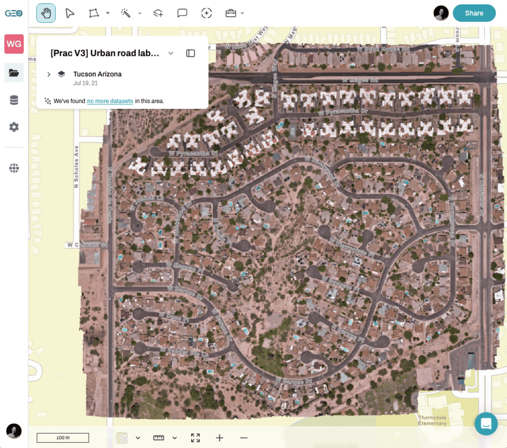
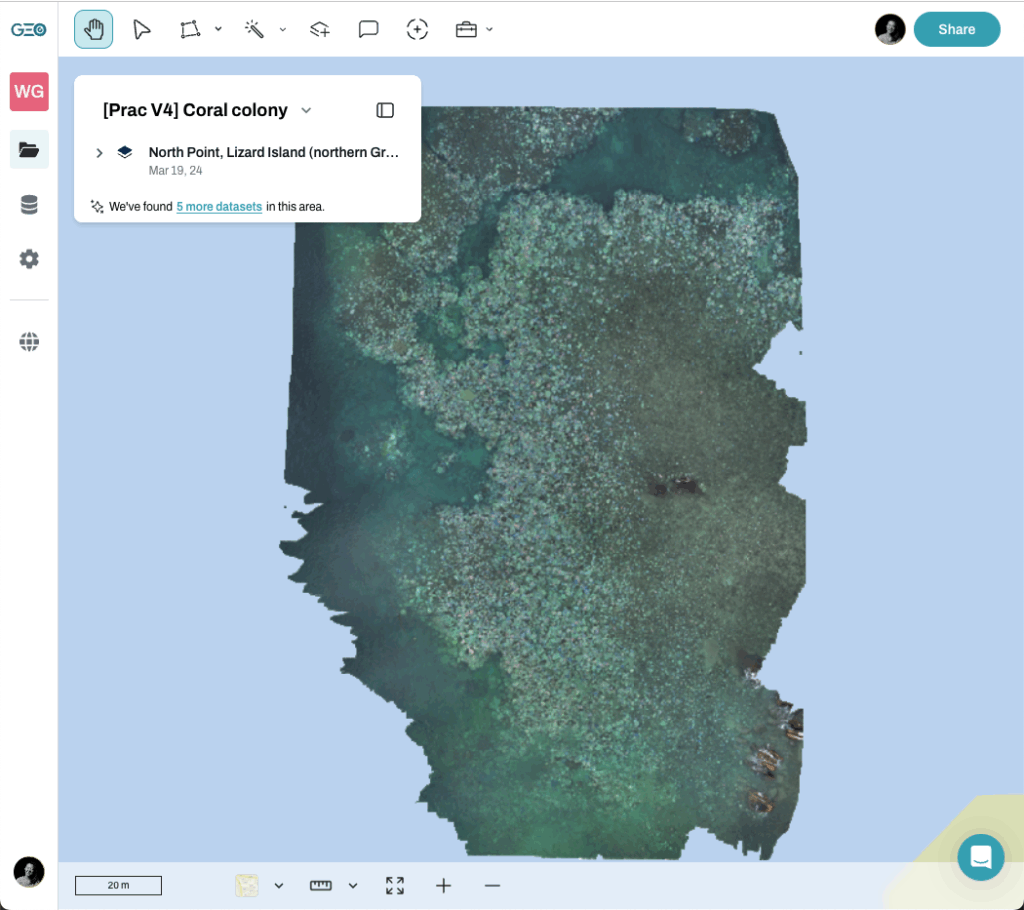
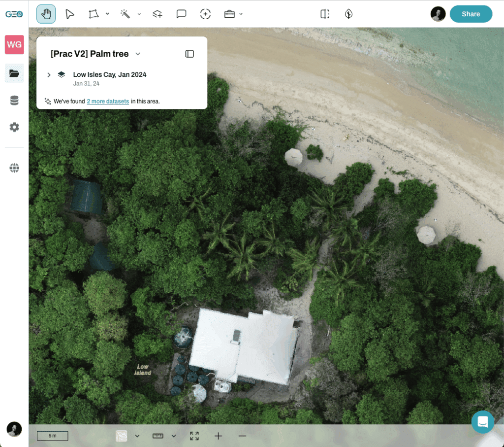
Let’s do some digitizing.
Extract statistics of polygons

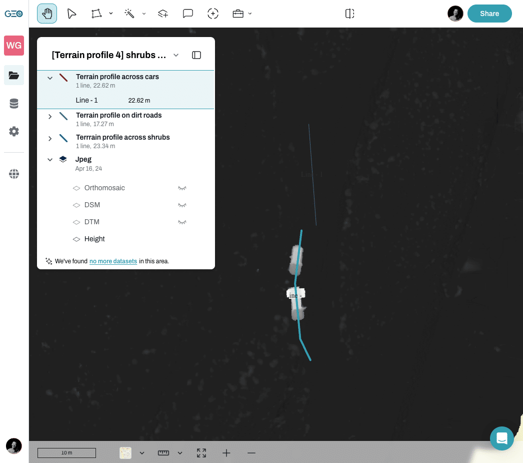
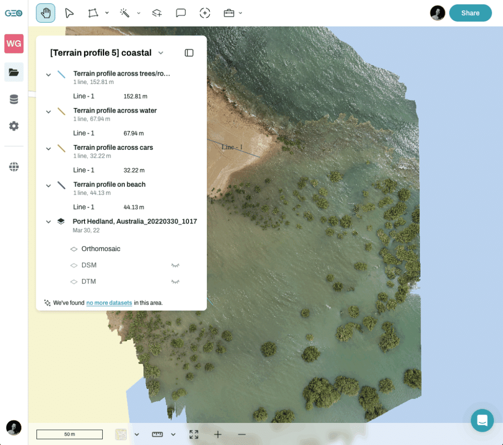
Extract height information from orthomosaics (terrain profile)

Useful links and videos
👩💻Webinar: GeoAI and the latest tools on GeoNadir
🌏Blog: Mapping country with drones
🌎Blog: How to map with a drone?
🔗 Other resources
